Tin Hat Mountain: The Free Hut at the Middle of the Sunshine Coast Trail
The best value overnight in British Columbia - a free winterized hut with a pellet stove at the halfway point of Canada's longest hut-to-hut trail, and you carry every drop of water you will drink.
·
Quick facts
- Distance
- 9.2 km
- Elevation gain
- 587 m
- Highest point
- 1,185 m
- Difficulty
- Moderate
- Time needed
- 4-6 hours
- Route type
- Out and back
- Season
- May through September is the dry window and the practical season. Snow can still be sitting on the summit in early summer. Winter ascents happen but need snowshoes and experience, and the logging road access becomes the deciding factor rather than the trail.
- Drive from Vancouver
- 4 h 45 min
- Transit accessible
- No
- Dog friendly
- Yes
- Pass or permit
- No pass requiredNo fee, no permit, no booking, and that is the whole point of this trail. The Sunshine Coast Trail bills itself as Canada's longest hut-to-hut hiking trail and the only free one. The Tin Hat hut is one of roughly fifteen volunteer-built huts along it. You cannot reserve a bunk. First-come, first-served, one night only, and thru-hikers walking the full 180 km get priority. Two BC Parks huts elsewhere on the trail do charge. This one does not.
- Last hiked
- Traditional territory
- Tla'amin Nation territory. The Sunshine Coast Trail crosses public, private and Tla'amin treaty lands; the Nation's language is ʔayʔaǰuθəm
On this page6 sections
The Sunshine Coast Trail runs 180 kilometres from Sarah Point in Desolation Sound to Saltery Bay, and it describes itself as Canada's longest hut-to-hut hiking trail and the only free one. Both halves of that claim matter. There are roughly fifteen volunteer-built huts along it, and you do not pay to sleep in them.
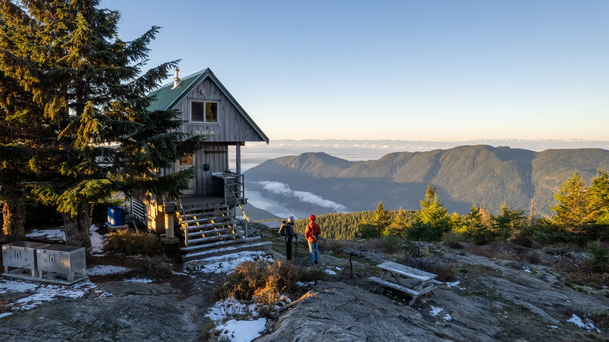
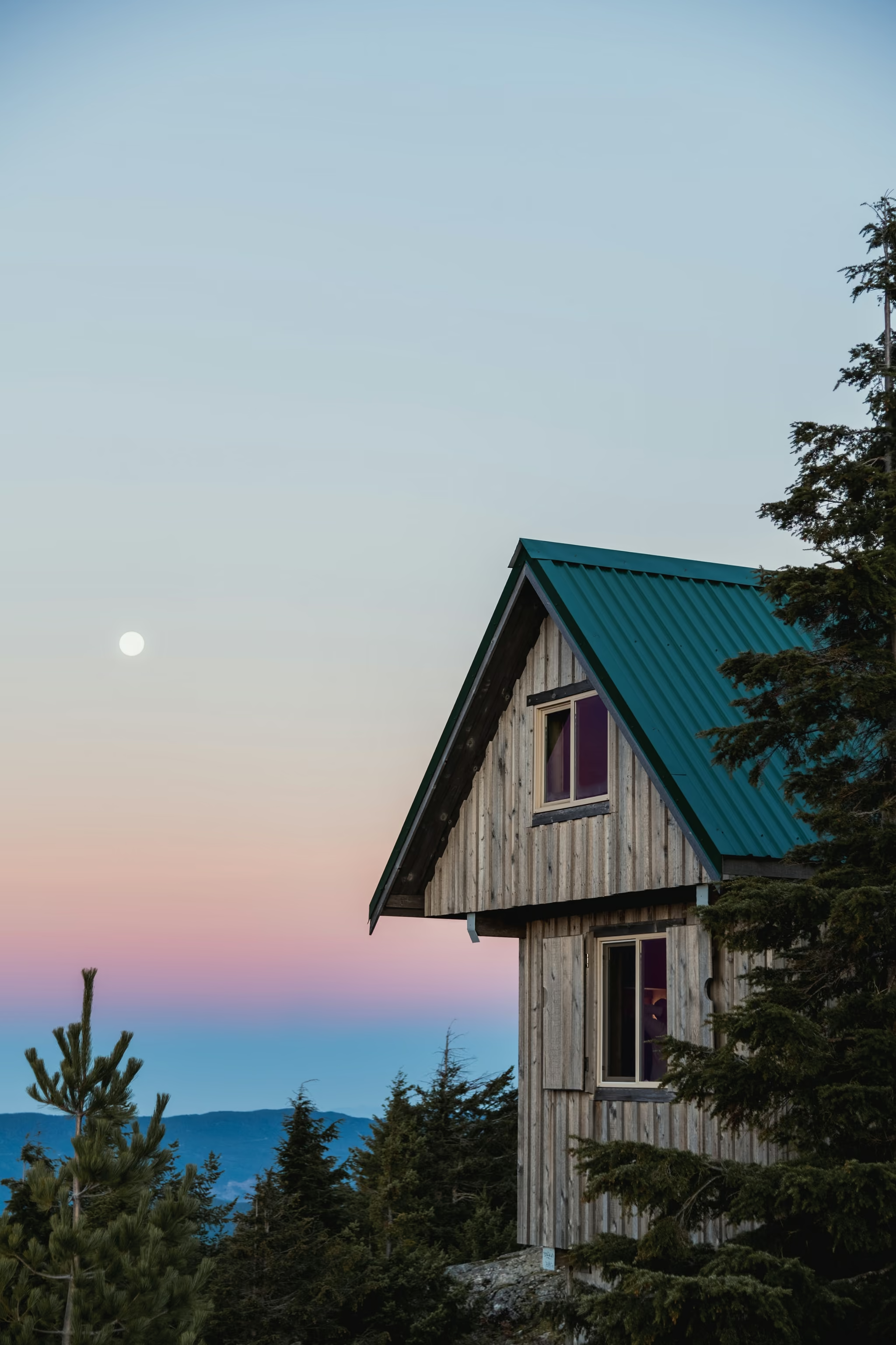
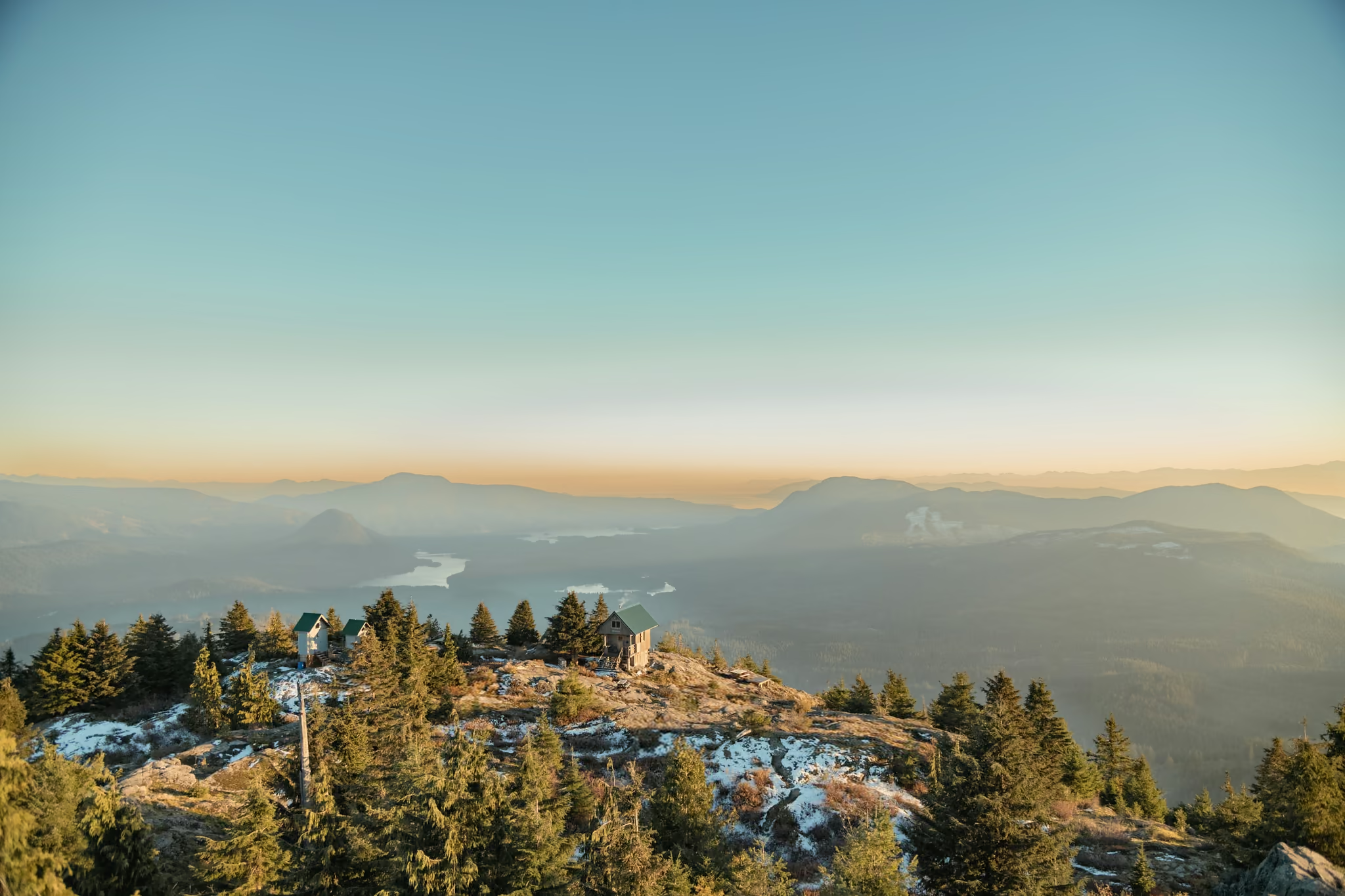
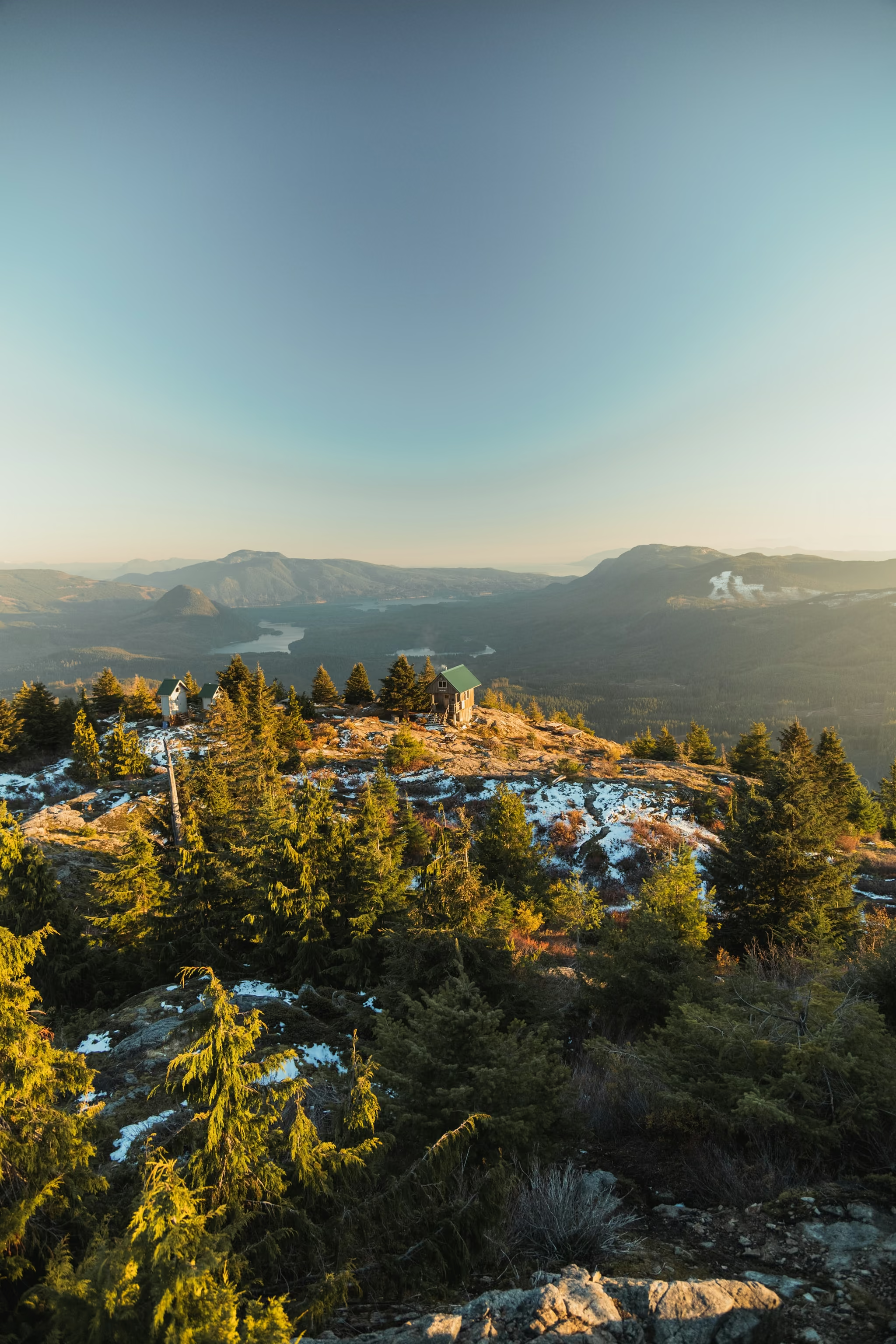
Tin Hat sits at kilometre 90, almost exactly halfway, on a 1,185 metre summit that once held a fire lookout. The hut was built in 2011, sleeps ten, is fully winterized, has a pellet stove and a ladder to a sleeping loft, and there is an outhouse, a fire pit and picnic tables outside. The summit is a few minutes above it.
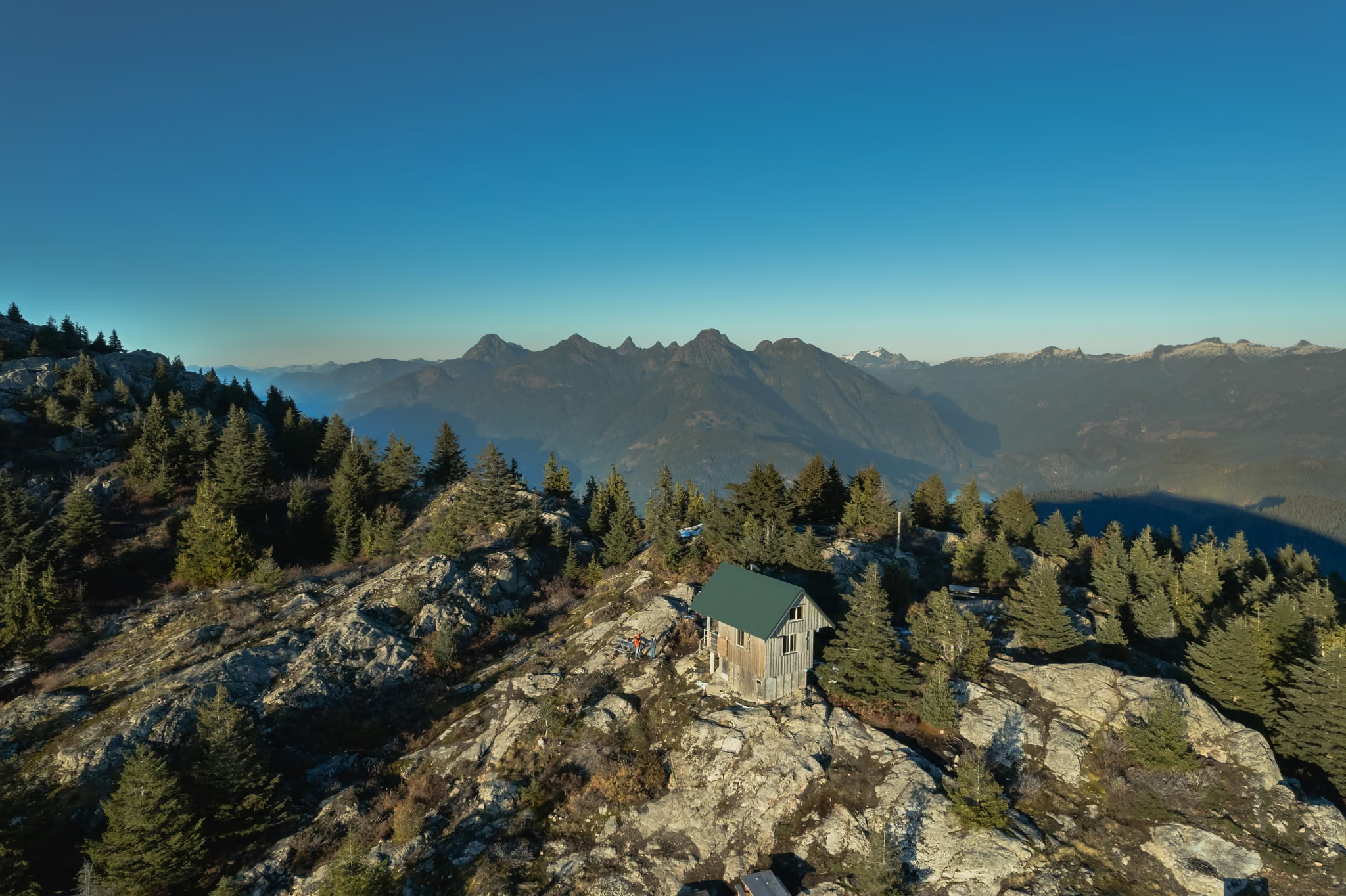
It is the best value overnight I know of in this province, and there are three things you need to get right.
One: there is no water
None. Not at the hut, not on the summit, and depending on the season not on the climb either.
The rest of the trail has creeks and lakes. This summit does not. On the approach there is a signed last-water point. Any flow past that sign is seasonal and you cannot plan on it.
There is no tarn and no lake at the hut. The nearest named water is Lewis Lake and Spring Lake, both well below. Carry three litres minimum for an overnight, more in hot weather, and accept that this is the reason your pack feels heavy on a climb that is otherwise moderate.
Two: you cannot book it, and you might not get a bed
The huts are first-come, first-served. You cannot book ahead. Stays are one night only, and thru-hikers walking the full trail get the bunks first. Tin Hat sleeps ten, and I would still carry a tent. The trail is getting busier and the huts are often full.
Take that advice literally. Turning up on a July Saturday having driven from Vancouver with two ferries behind you and no tent is a bad plan. Carry the tent, hope not to use it, and if you do get a bunk, leave the hut in the same or better shape than you found it. There is a guest book. Pack out your garbage.
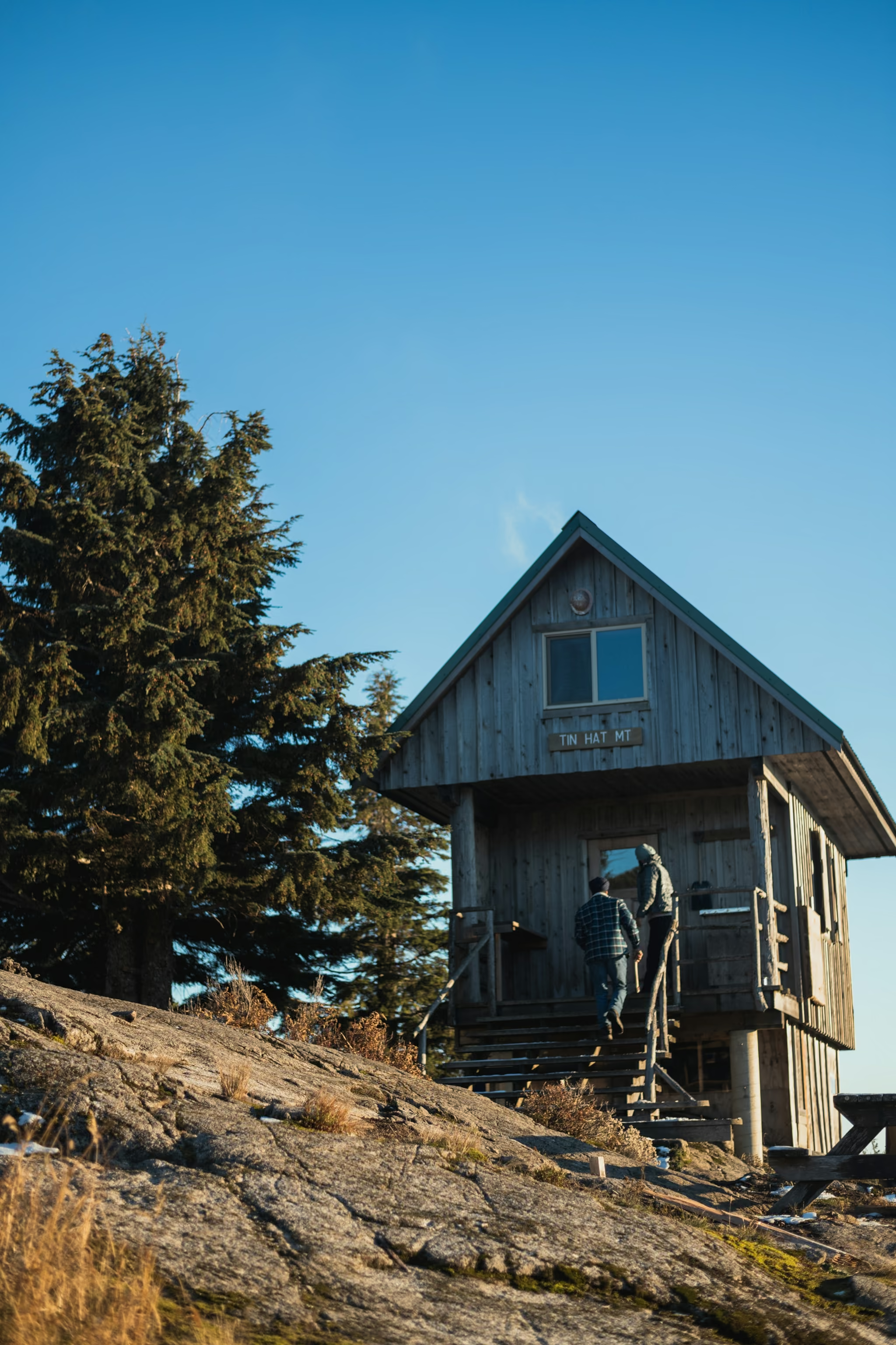
One detail people miss: the stove is a pellet stove, not a wood stove. Do not plan on burning found wood in it. Bring a lightweight camping stove and fuel.
Three: the road decides your trip
Access is from the south, out of Lang Bay, not from Powell River directly. Dixon Road to Goat Main at Mile 4, Spring Lake Main at Mile 12, then park.
The good news is that a normal car reaches the lower parking area, which holds five or six vehicles. From the lower lot you are looking at roughly 9.2 km return and 587 metres of gain, two to three hours to the hut, fifteen minutes more to the summit.
High-clearance or 4x4 gets you to the upper pullouts and cuts it to about 4.2 km return and 300 metres of gain, which turns Tin Hat into a short evening walk to a summit hut.
These are active logging roads. Traffic runs weekdays roughly 6am to 6pm, the surface is gravel and stone with potholes, and 30 to 40 km/h is the right speed. Road condition is not officially reported, so ask locally before you drive out.
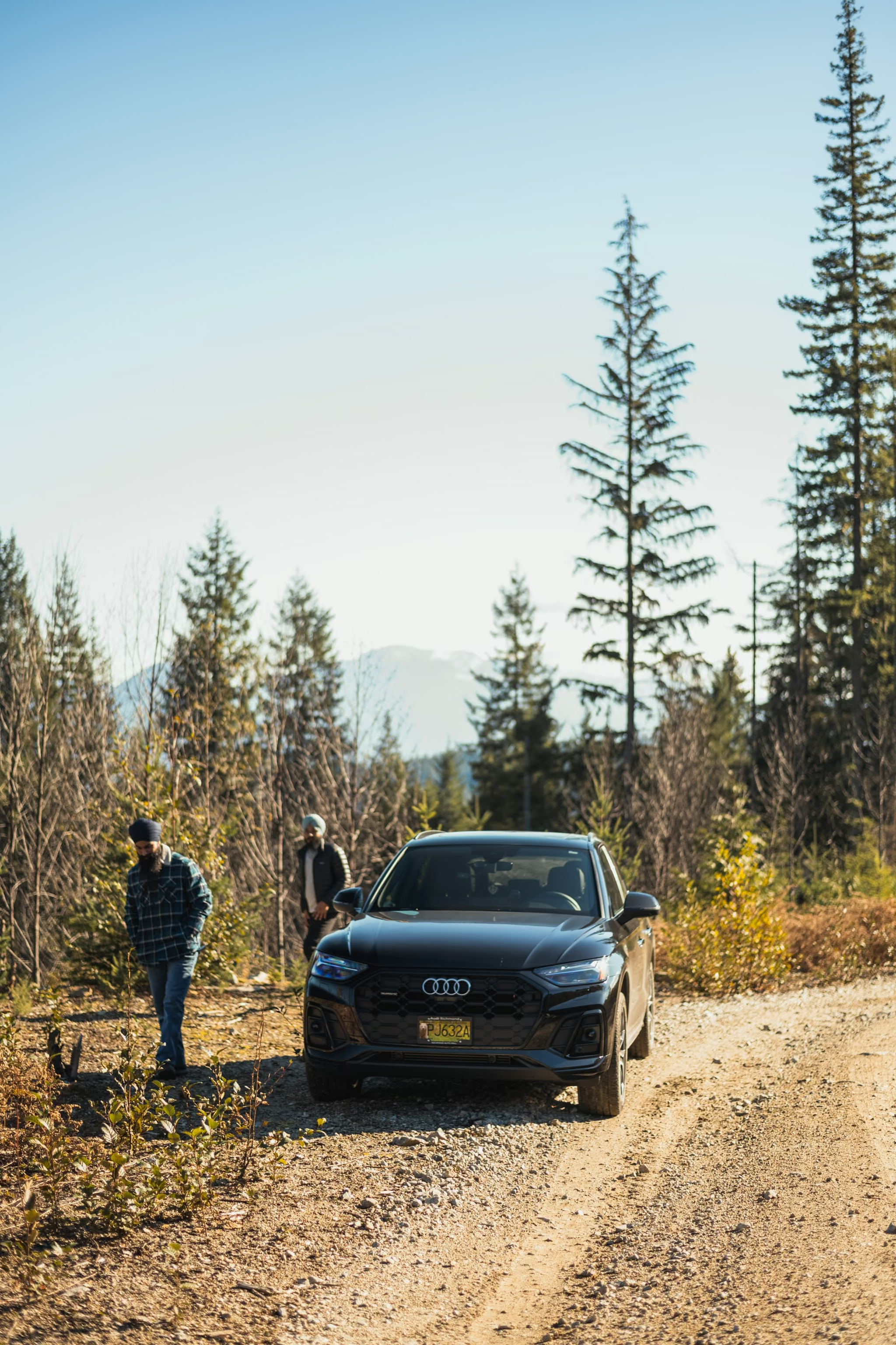
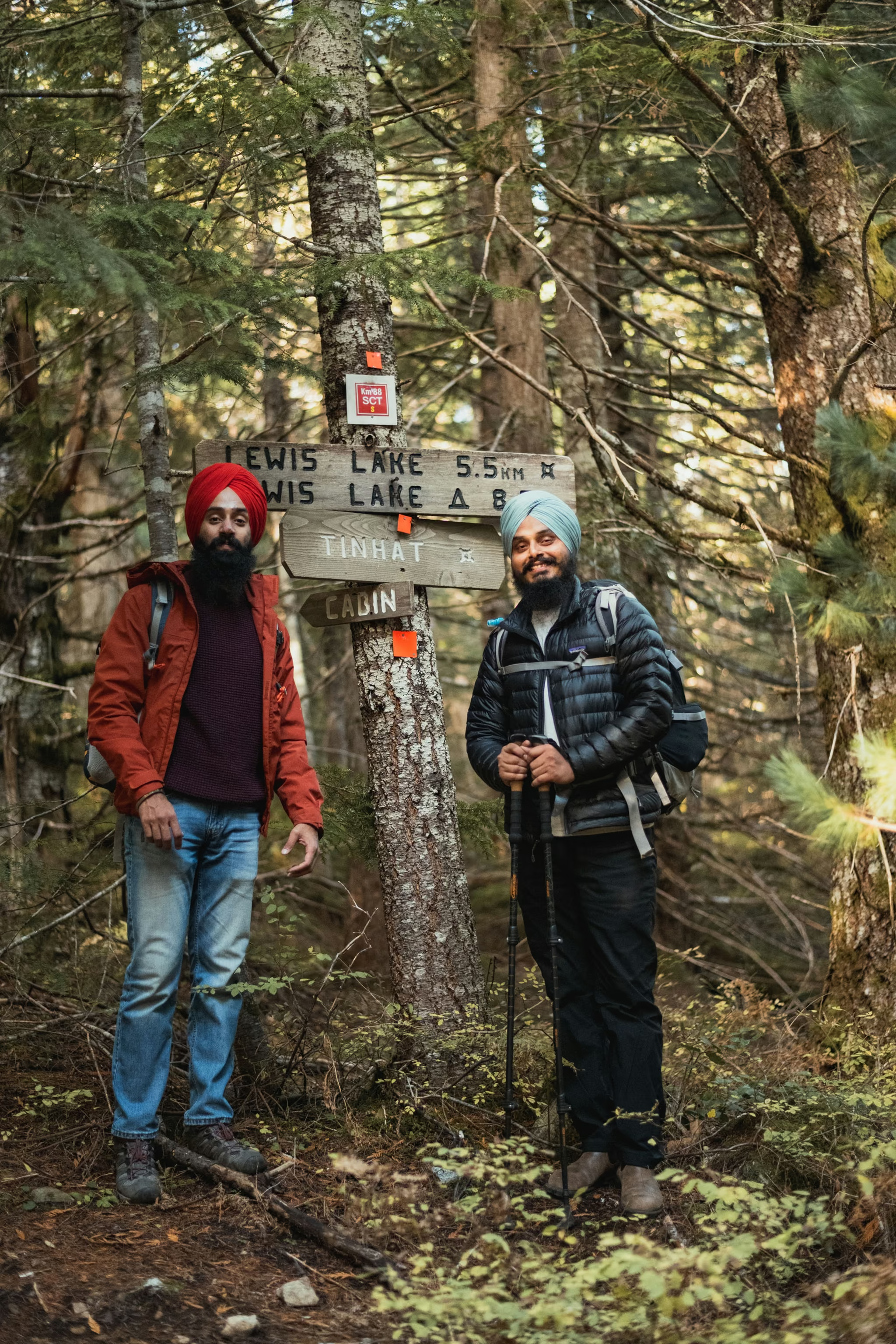
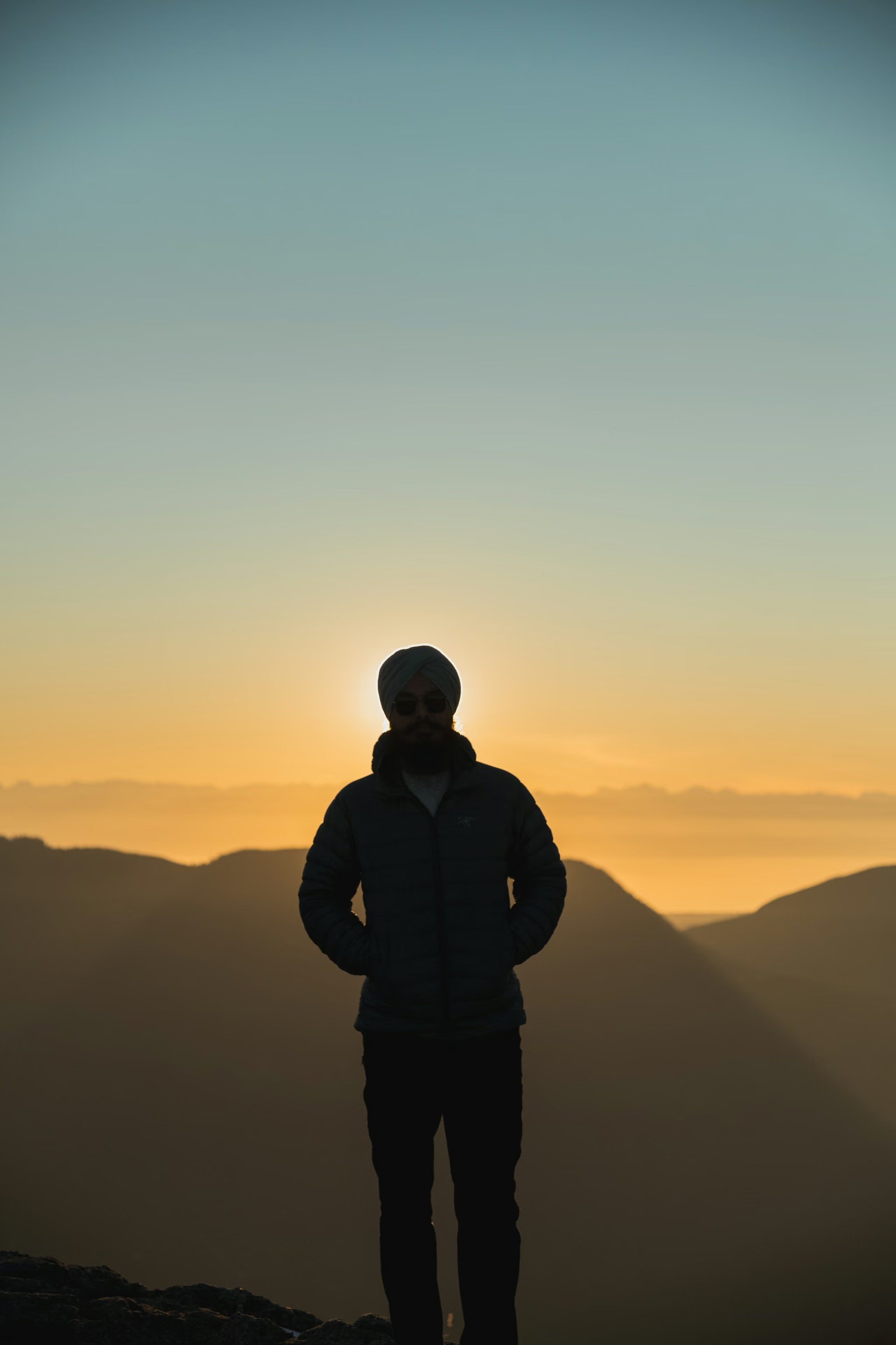
Late October 2023 we drove a regular SUV onto the gravel, parked before the road got stupid, and hiked up in a group of three. Snow still sitting in the rocks. We slept in the hut. At sunset the valleys filled with cloud and the summit stayed clear.
Hiking in instead
If you would rather earn it, Tin Hat is a natural objective on the trail proper. From the kilometre markers on the trees, Fiddlehead Landing at km 81 is about nine kilometres away and roughly 980 metres below, which makes it the standard backpacking approach. Confederation Lake at km 74 is about sixteen kilometres out, and Elk Lake at km 110 is about twenty kilometres on the far side via Lewis Lake and March Lake.
Those are my numbers from marker arithmetic, not published figures. Treat them as planning estimates and not gospel.
The view
It is a genuine 360, which is rarer than the phrase suggests. What I can confirm from the summit: Georgia Strait, Texada Island, Vancouver Island in the distance, the Coast Mountains, Powell Lake, and locally Overlook Mountain, Mount Baldy, Mount Freya and Rainbow Ridge. Lakes sit in the valleys in every direction. I did not count them.
You will read claims about Mount Baker from up here. I could not verify it from any source and I am not going to pass it on.
Practicalities
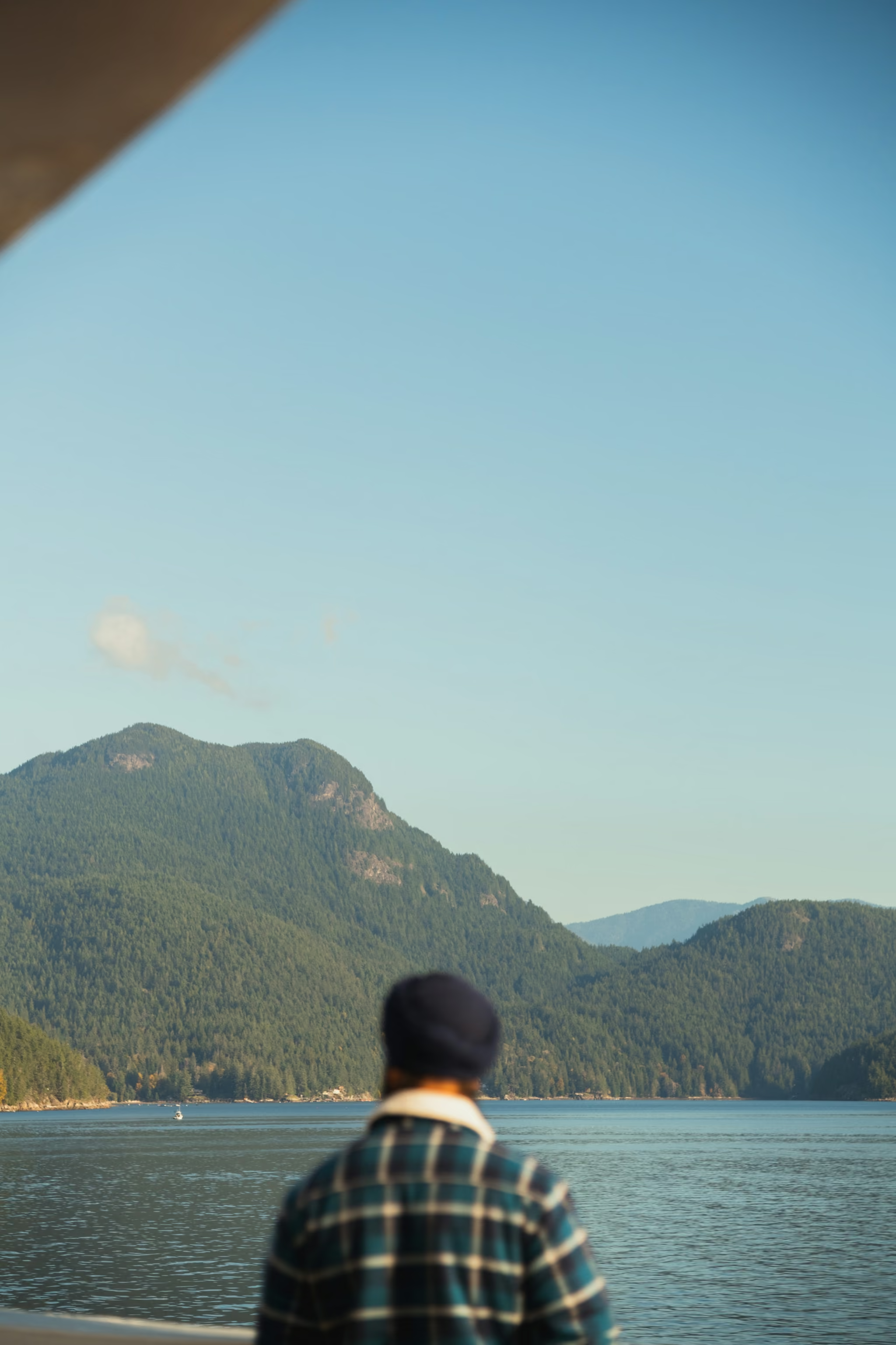
Getting to Powell River is two ferries from Vancouver and about four to five hours all in, assuming you make your connections. Horseshoe Bay to Langdale is 40 minutes, then roughly 80 km of coast road to Earls Cove, then Earls Cove to Saltery Bay at 50 minutes, then about 30 km to town. You pay once each way; the second sailing is included. A missed sailing costs real time, so build slack in.
The regional district is now qathet, renamed in 2018. It is intentionally lowercase, because the ʔayʔaǰuθəm orthography has no capitals. It means working together, and it was gifted by the Tla'amin, K'ómoks, Homalco and Klahoose nations. The city is still Powell River.
Wildlife: black bears, cougars and wolves. Carry bear spray, which you can buy in Powell River but cannot fly in.
Dogs are allowed leashed anywhere on the Sunshine Coast Trail, but they are not allowed in the huts, because of the private land and public parks the trail crosses. With a dog, you are tenting.
Bring insect repellent and, if you are sleeping outside, a mosquito net.
Snow still sitting in the summit rocks. Valley inversion at sunset. Hut in good order, pellet stove working, no running water at or near the hut. We drove a regular SUV onto the gravel and parked short of the upper pullouts. Carry a tent as backup. Hut occupancy cannot be checked in advance.
Reported by Parveen Singh
Trail notes from the field
One email a month: what is melting out, what is snowed in, and where the light is good right now. Written after the hike, not before it.
By subscribing you agree to receive occasional emails from psingh.ca. No spam, no selling your address, unsubscribe any time.
Shooting this trail
Photography notes
- Best light
- This is a summit you sleep on, and that is the entire photographic argument for it. The view is a true 360, so you get sunset over Georgia Strait, Texada Island and the low blue line of Vancouver Island in one direction, and sunrise on the Coast Mountains and the Powell Lake system in the other, without moving camp. Very few places give you both ends of the day from the same 1,185 m perch with a heated cabin ten steps away. Day-tripping this mountain means arriving in flat midday light and walking out through the best hour, which is the single most common way to waste the trip. The other condition worth planning for is a valley inversion, when the lake basins below fill with cloud and the summit sits clear above it.
- Best season
- Late June through September for reliable access and clear air. September is the best of it: the haze drops, the nights are cold enough for inversions, and the trail quiets down after the summer thru-hiking peak.
- Compositions
- The full sunset panorama at 24-35mm across Georgia Strait with Texada Island as the middle-ground anchor and Vancouver Island as the far horizon. Shoot it as a two or three frame stitch rather than going ultra-wide, which flattens the layers you came up here for.
- Lake compression at 100-200mm into the interior. Telephoto is the only way to make the stacked ridges and water between them legible, shot in the first hour of light when the mist is still sitting on the surfaces.
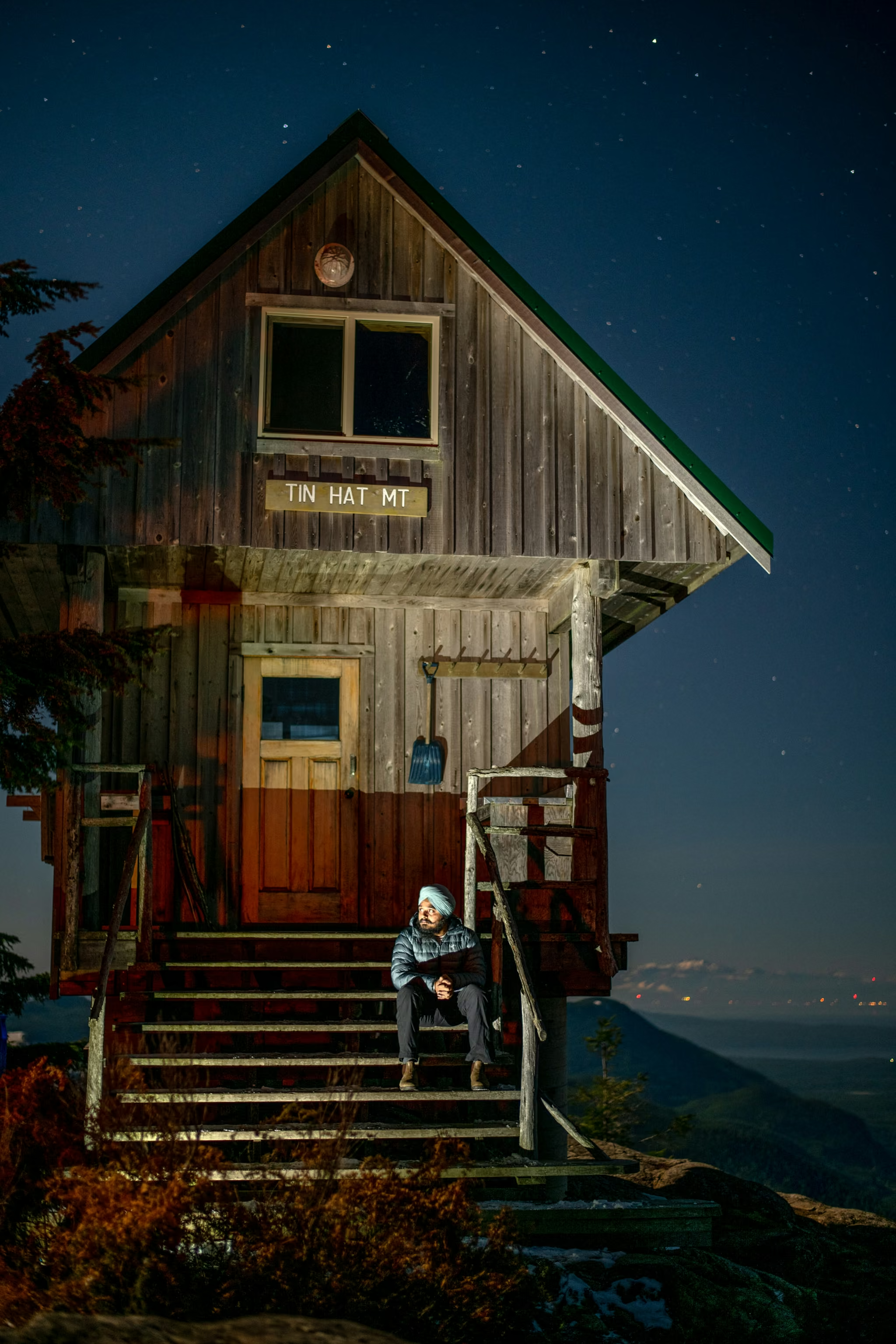
- The hut at blue hour with a light on inside, 24-35mm, framed against the last colour in the western sky. Wait until the ambient light and the window light are within roughly two stops of each other, which is about 25 minutes after sunset in summer. This is the frame that says what this trail is.
- Astro from the summit. You are far from any significant light dome, the summit is bald, and the hut makes a good silhouetted foreground at 14-20mm, f/2.8, 15 to 20 seconds. The light glow to the southwest is the Comox and Campbell River side of Vancouver Island across the strait.
- The old fire lookout ground itself. This summit held a lookout station, and the bare rock, stunted trees and hardware remnants make good tight work at 35-50mm on an overcast morning when the big view has gone flat.
- Gear
- Weight discipline matters more than usual here because you are carrying all of your water up a 587 m climb. Three litres is three kilos before you have picked up a camera. A compact carbon tripod is worth its price for the blue hour and astro frames; a heavy one is not. Batteries drain in a cold cabin overnight, so sleep with them. There is no power anywhere on this trail. On drones: unlike most places on this site, Tin Hat is not in a provincial park - it sits in working forest with active logging roads on every side, so BC Parks' rules do not apply and Transport Canada's do. Active logging and the possibility of aerial firefighting are the real reasons for restraint here, and other stretches of the Sunshine Coast Trail do pass through provincial parks where BC Parks permission is required.