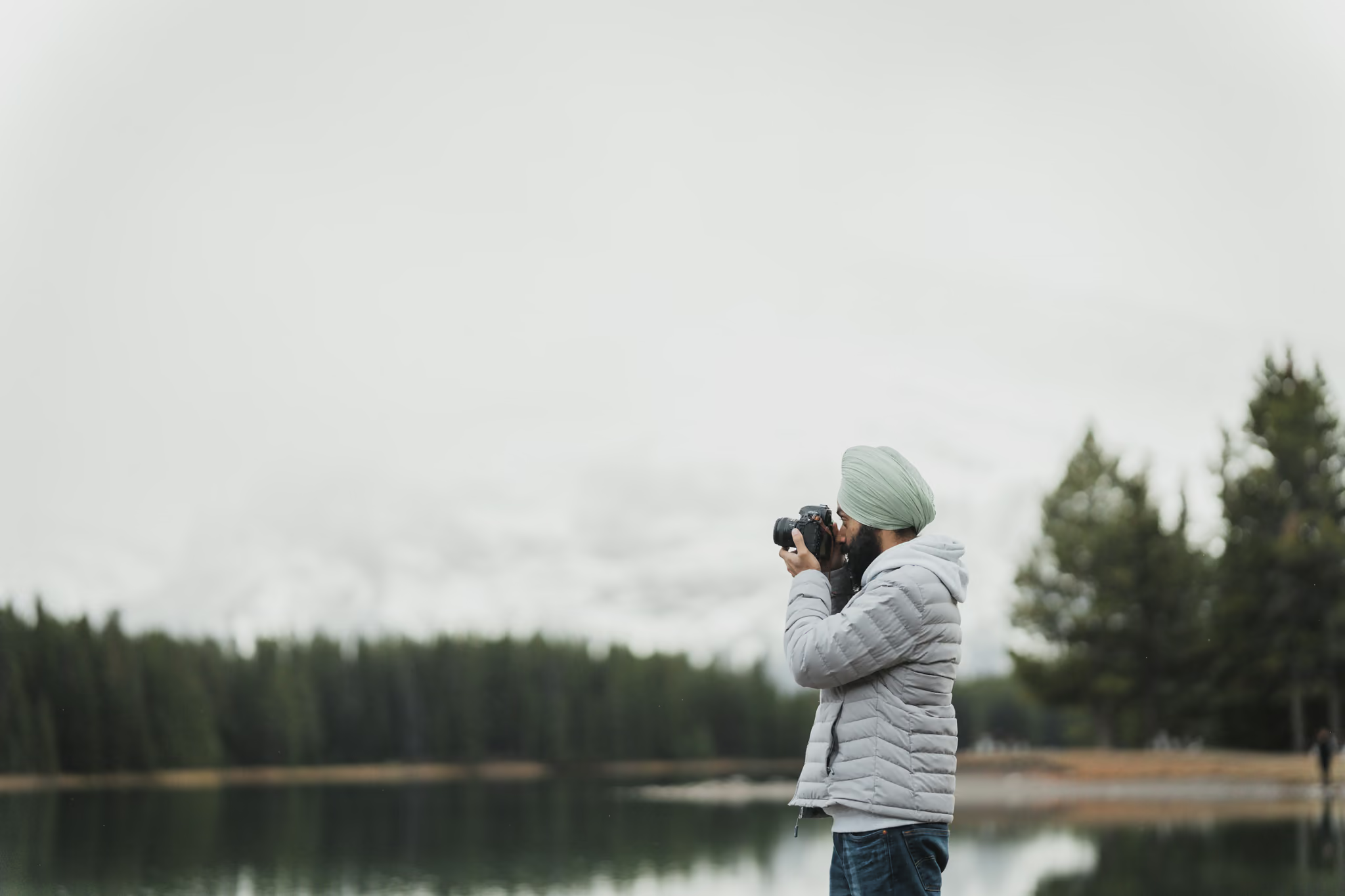
photography · hiking · road trips · vancouver, bc
Hey, I'm
Parveen.
I hike, drive and camp around BC with a camera, and show you how I shoot it: what I carry, where I stood, and the settings behind every photo.
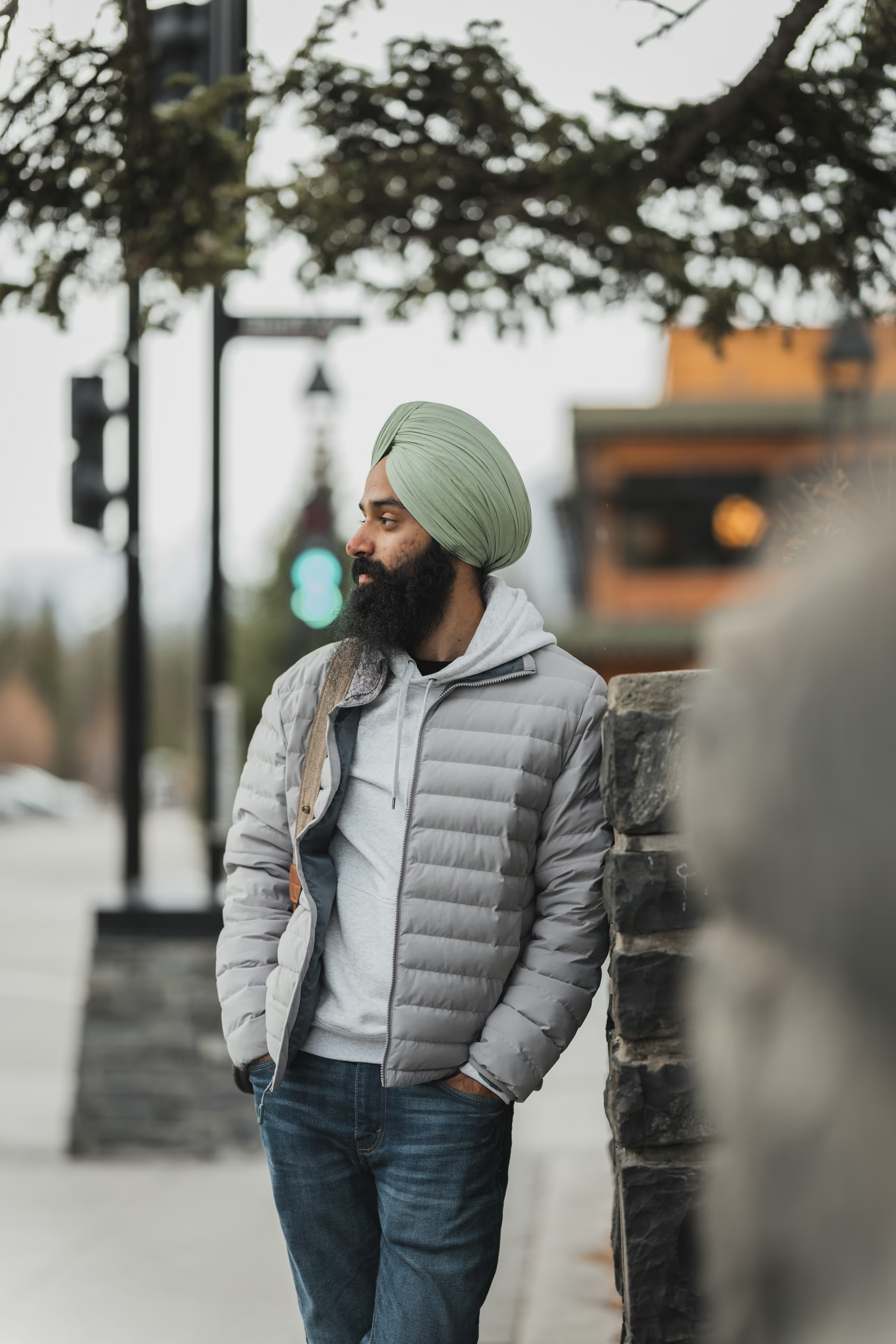
Hi, glad you're here
Weekdays at a desk. Weekends out there.
I work in tech, I'm a dad, and the camera comes on every hike, road trip and camping weekend. Most of what I shoot is around BC, wherever the drive from Vancouver ends up.
This site is where I share how I take the photos: the spot, the settings and the kit, plus the trail guides and trips behind them, so you can go and take your own.

- Trail guides
- 25
- Pexels views
- 3.2M
- Based in
- Vancouver
What I carry
One body, one lens, two filters and a tripod. Gear from use on real trails, with a verdict.
Gear →02How I shot it
The photo, where I stood, the moves I made, and the settings card you can screenshot.
Shots →03Where it is
Dated first-hand guides: distance, gain, parking, the hard part, and the best light.
Trails →how I shot this
One shot, start to finish
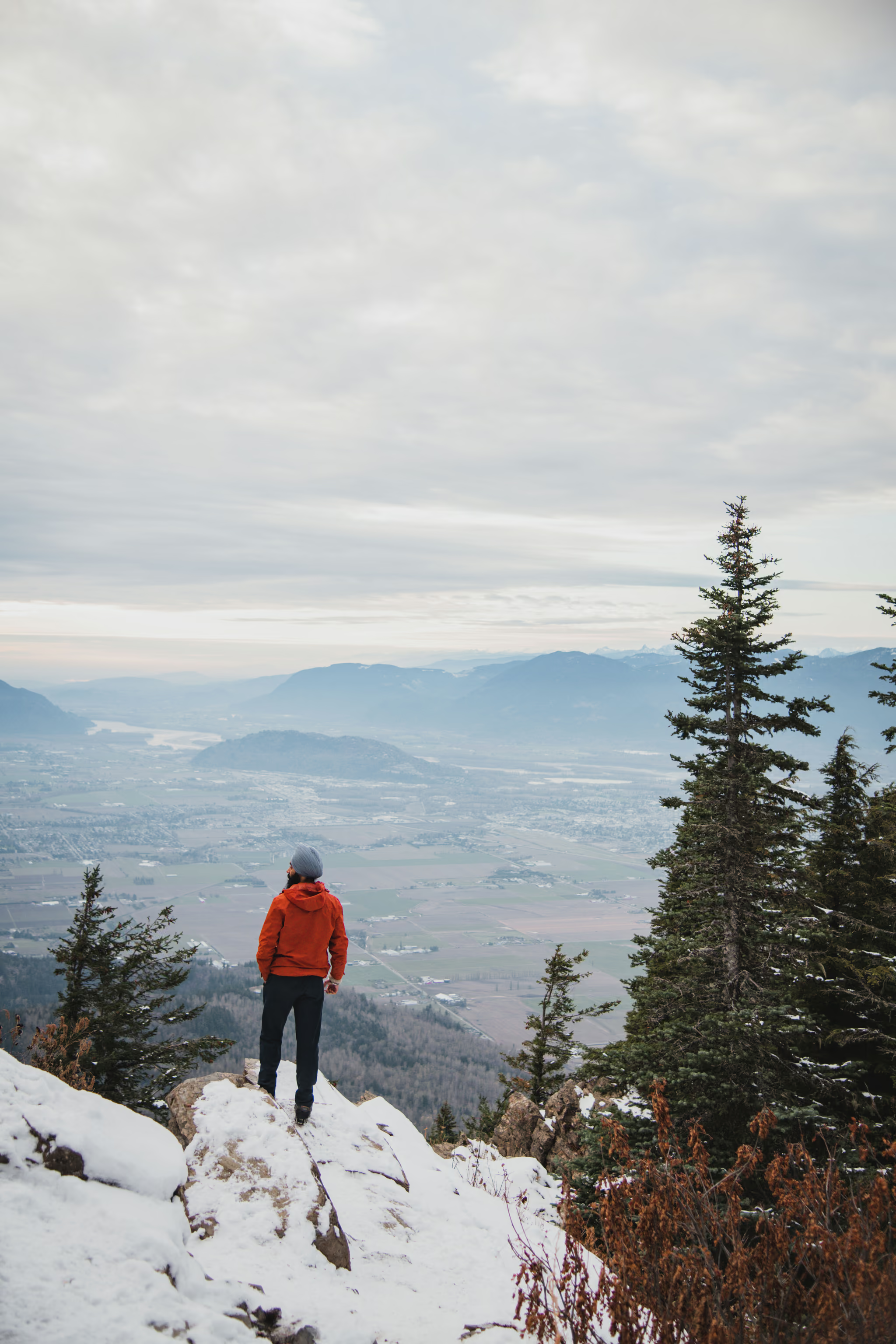
Elk Mountain, Chilliwack
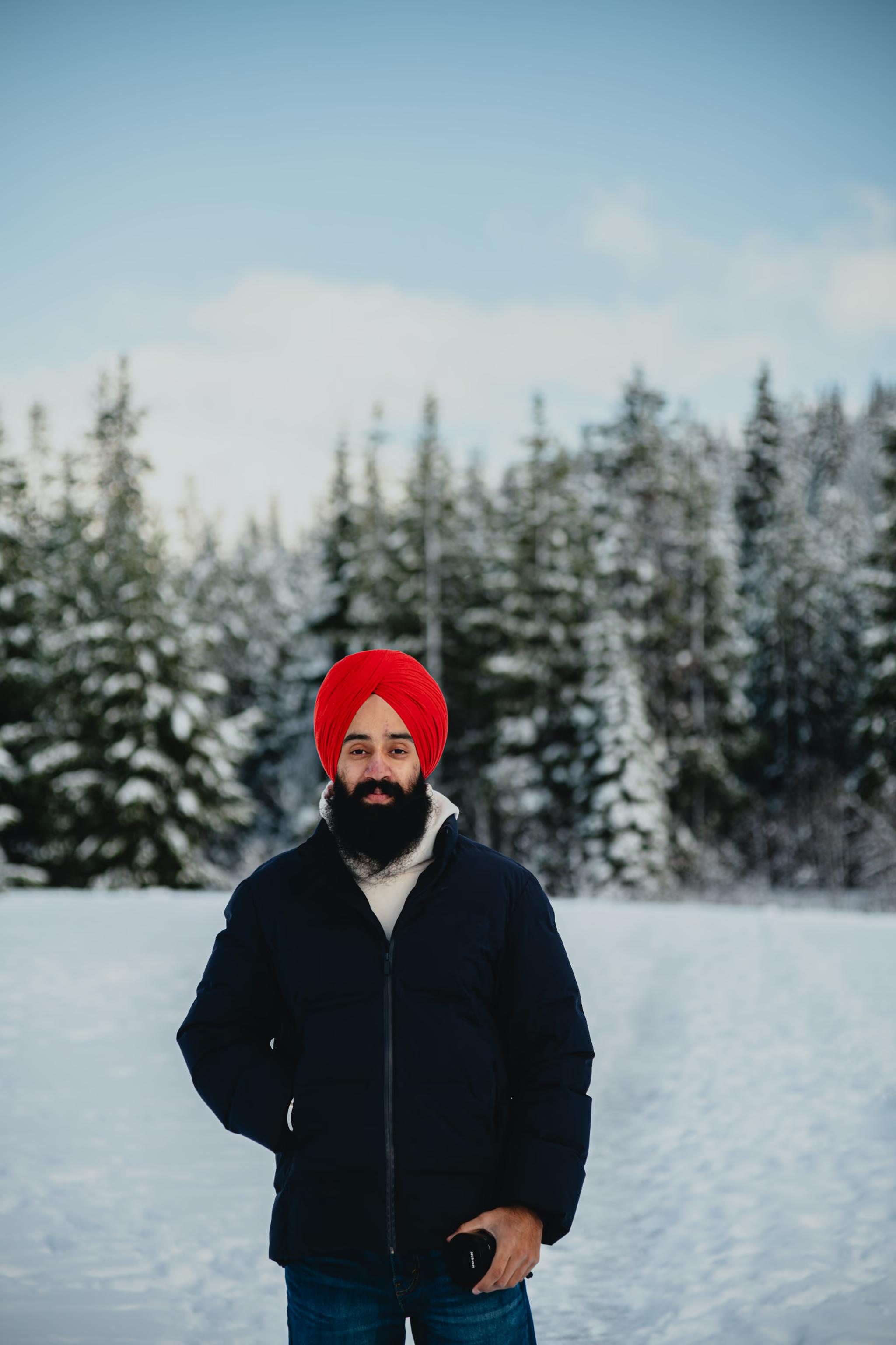
Elk Mountain in snow: me on the ledge, the valley behind
- 1Stand on the summit ledge facing out, back to the camera, so the frame reads as the view and not a portrait.
- 2Frame at 44mm: wide enough for the valley, tight enough that the ledge and the person still fill the bottom of the frame.
- 3Keep the orange jacket against the grey valley. In November light, the one warm colour is what the eye lands on.
Shot on Nikon D850 · 24-120mm f/4
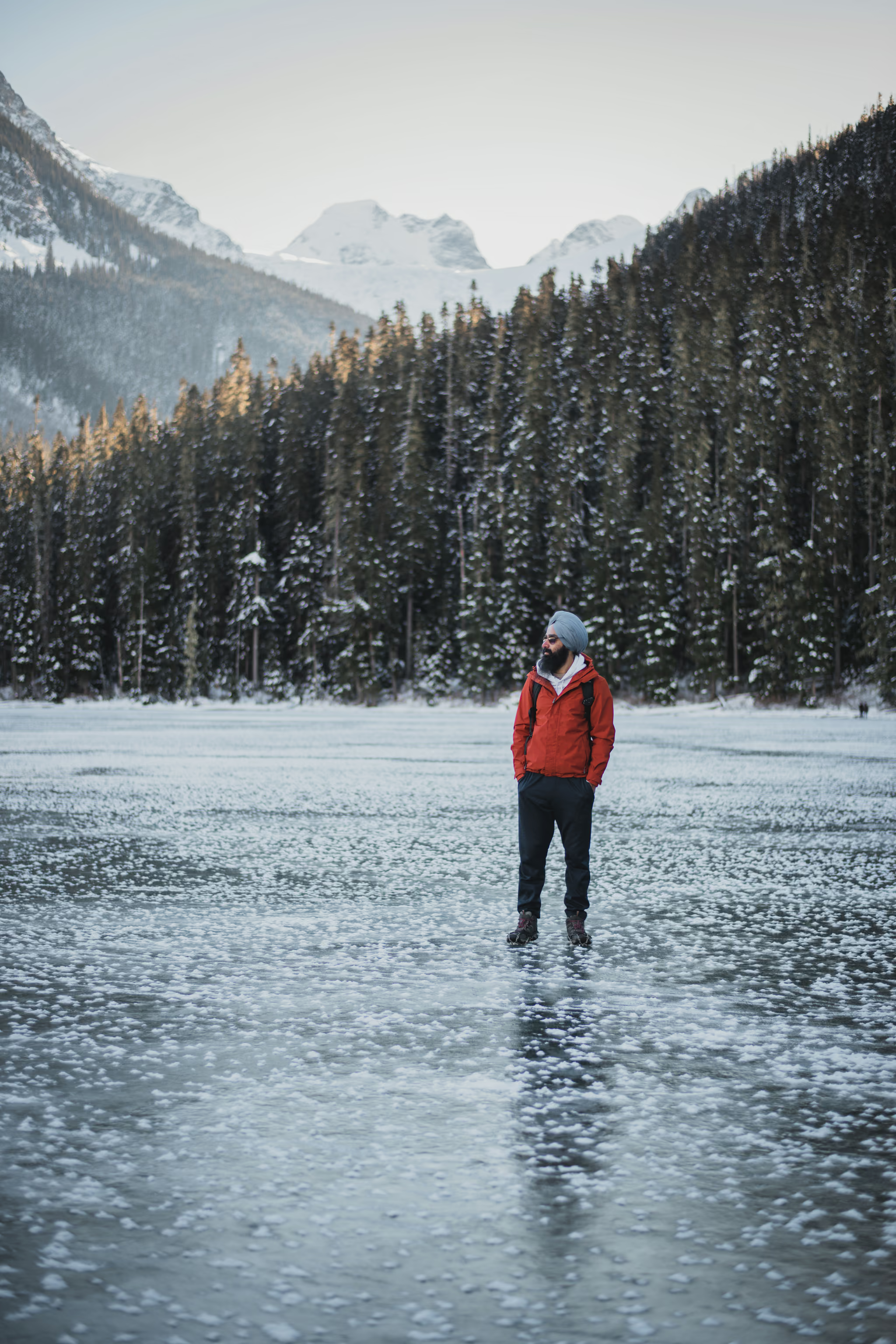
Photography
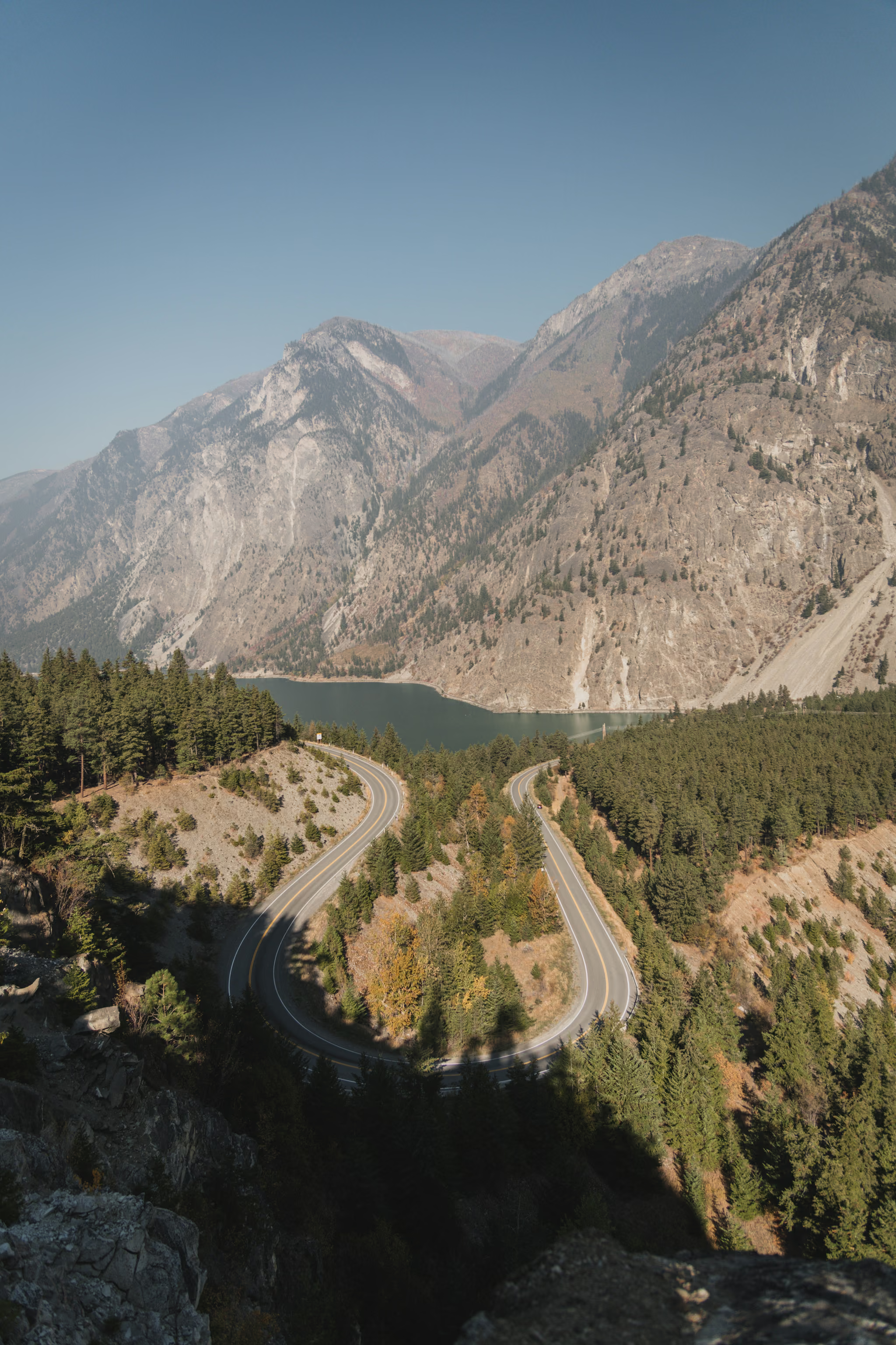
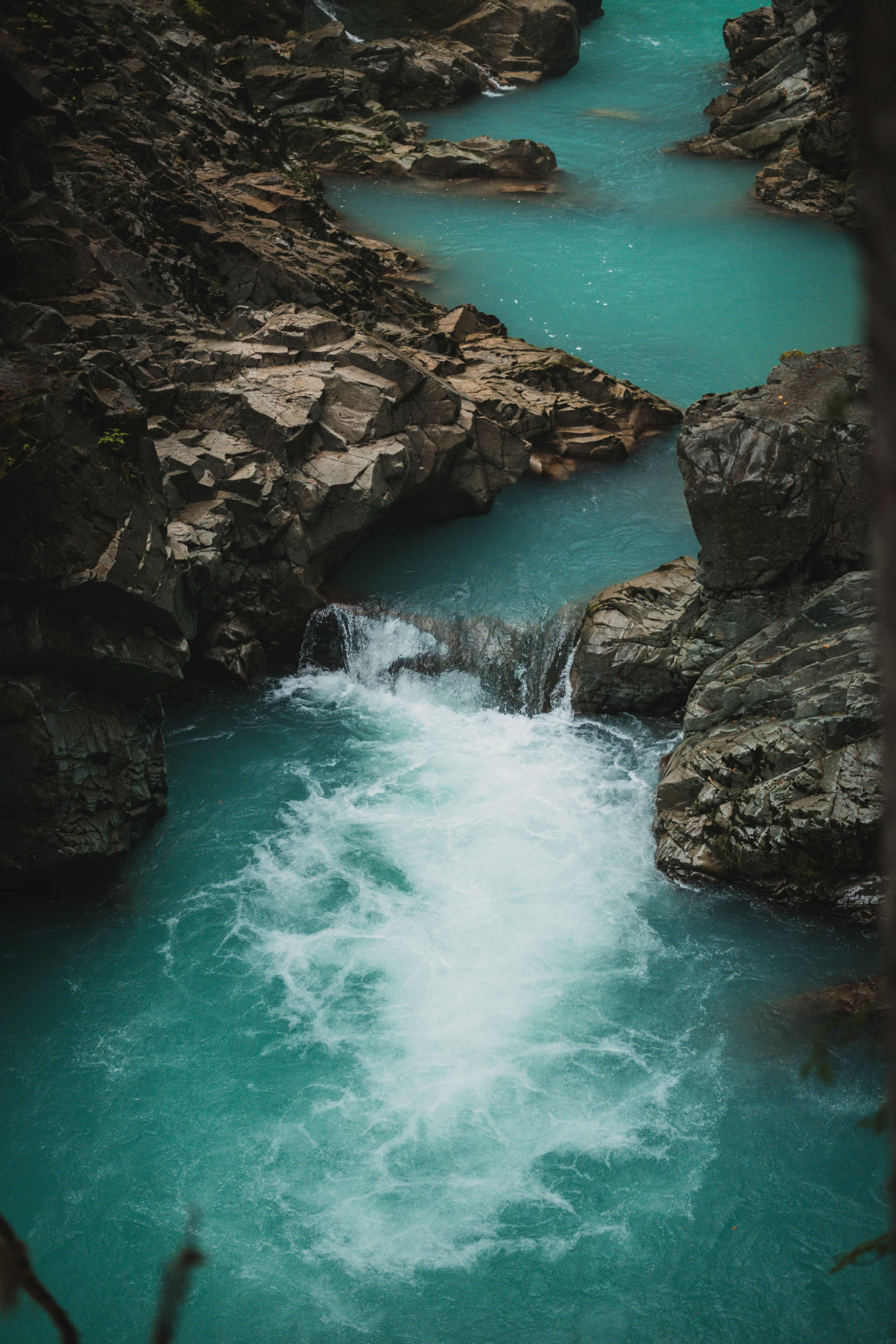
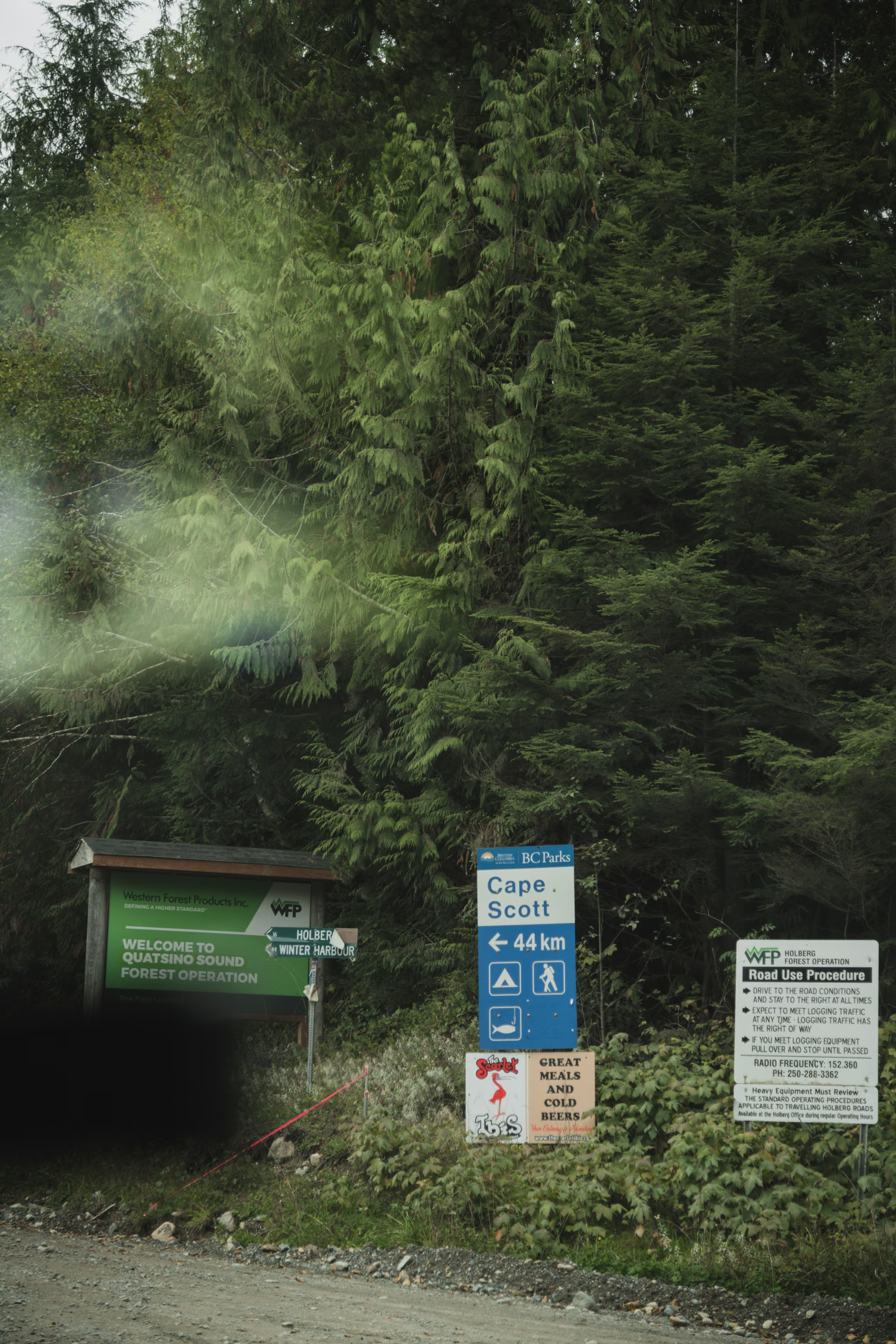
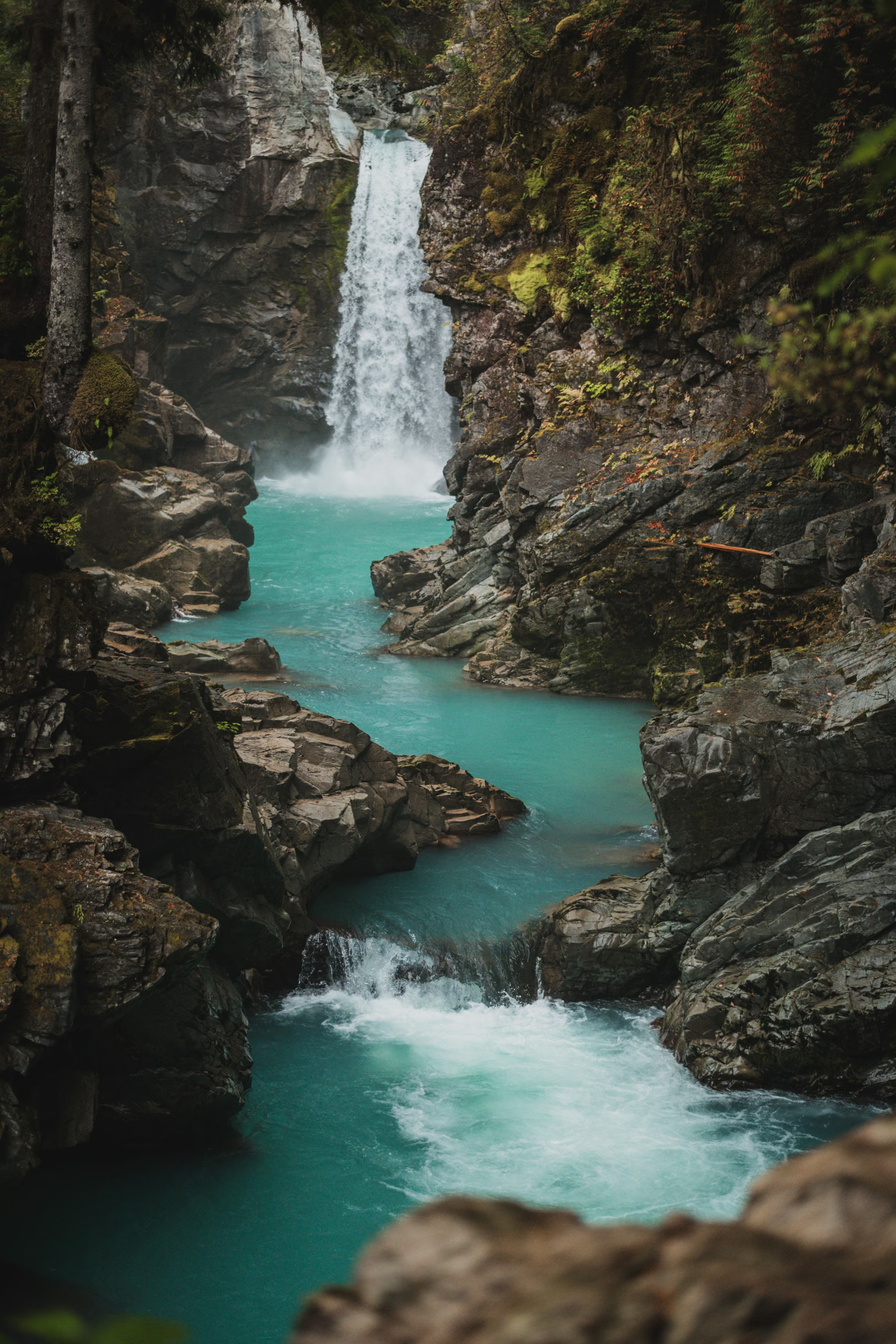
Recent photographs
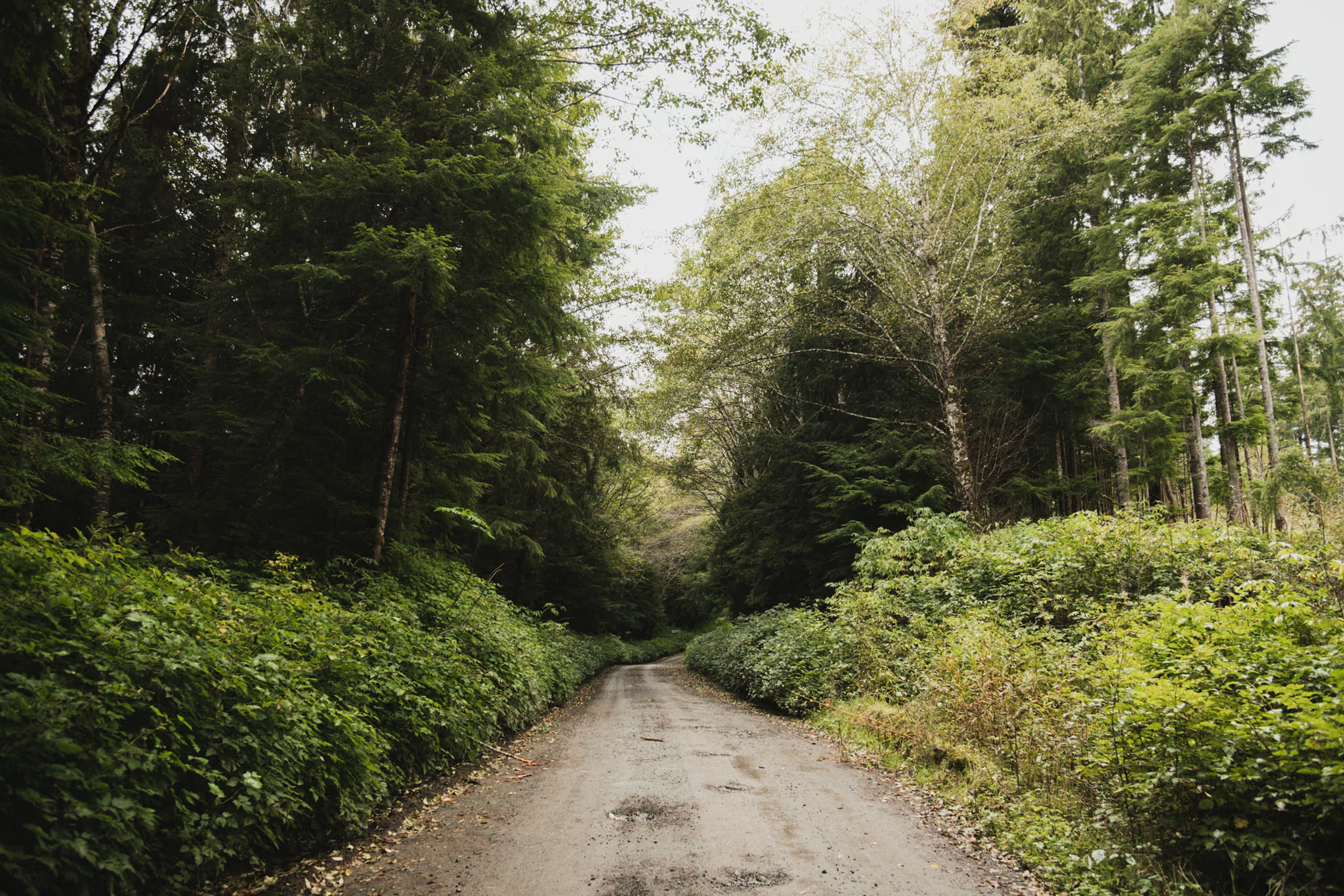
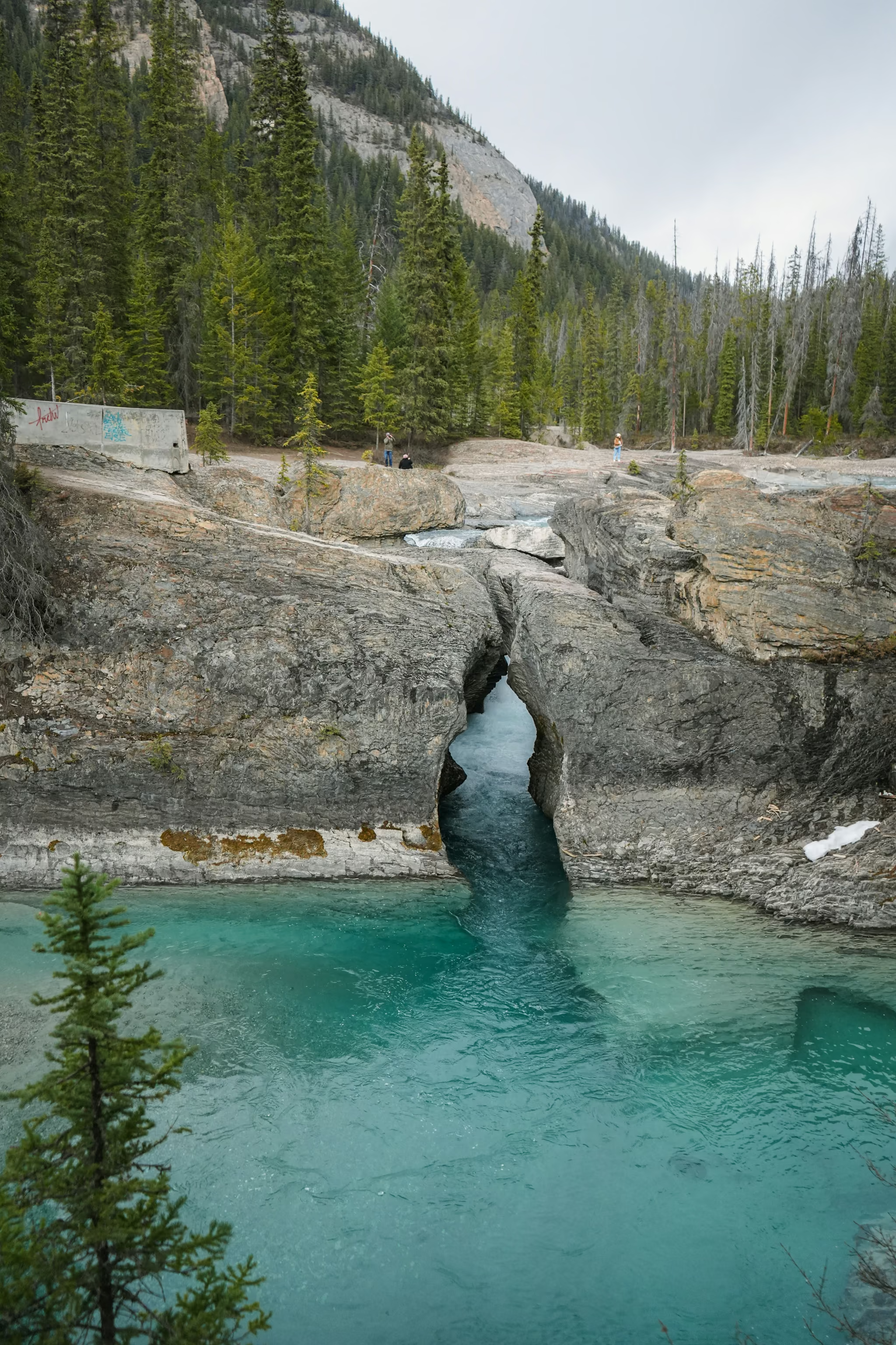
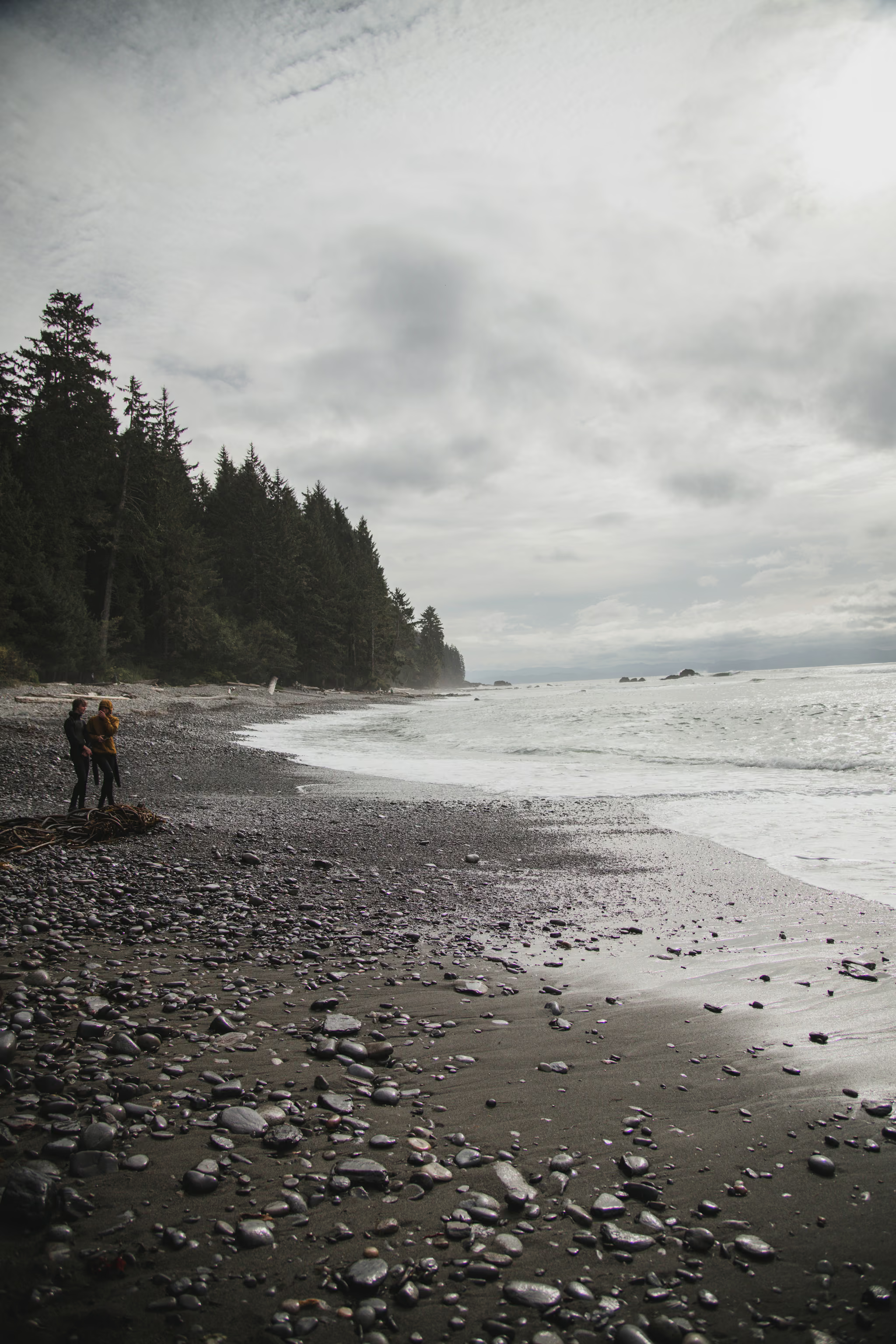
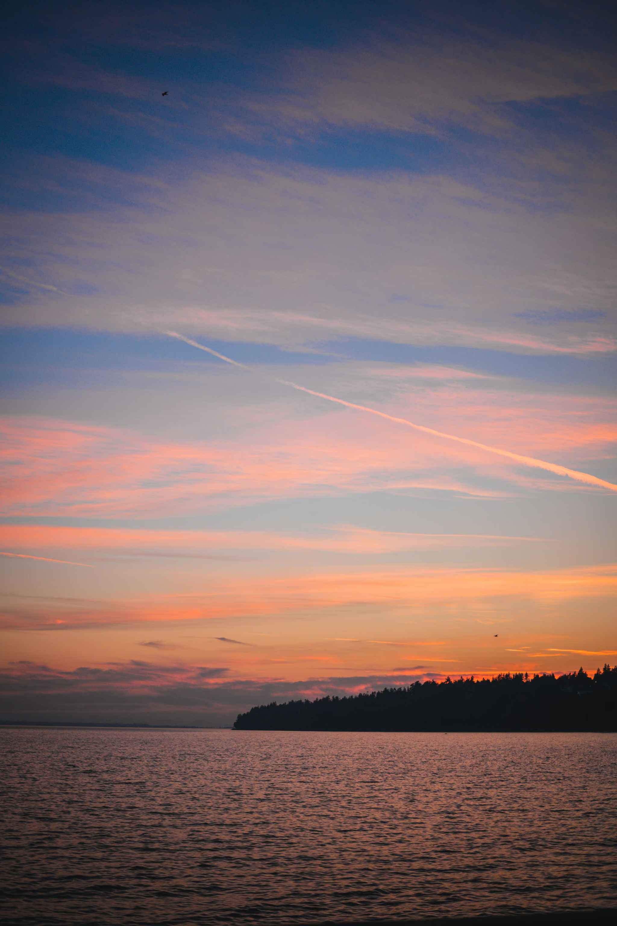
trail guides
Where it is
11.5 km470 m4-5 h
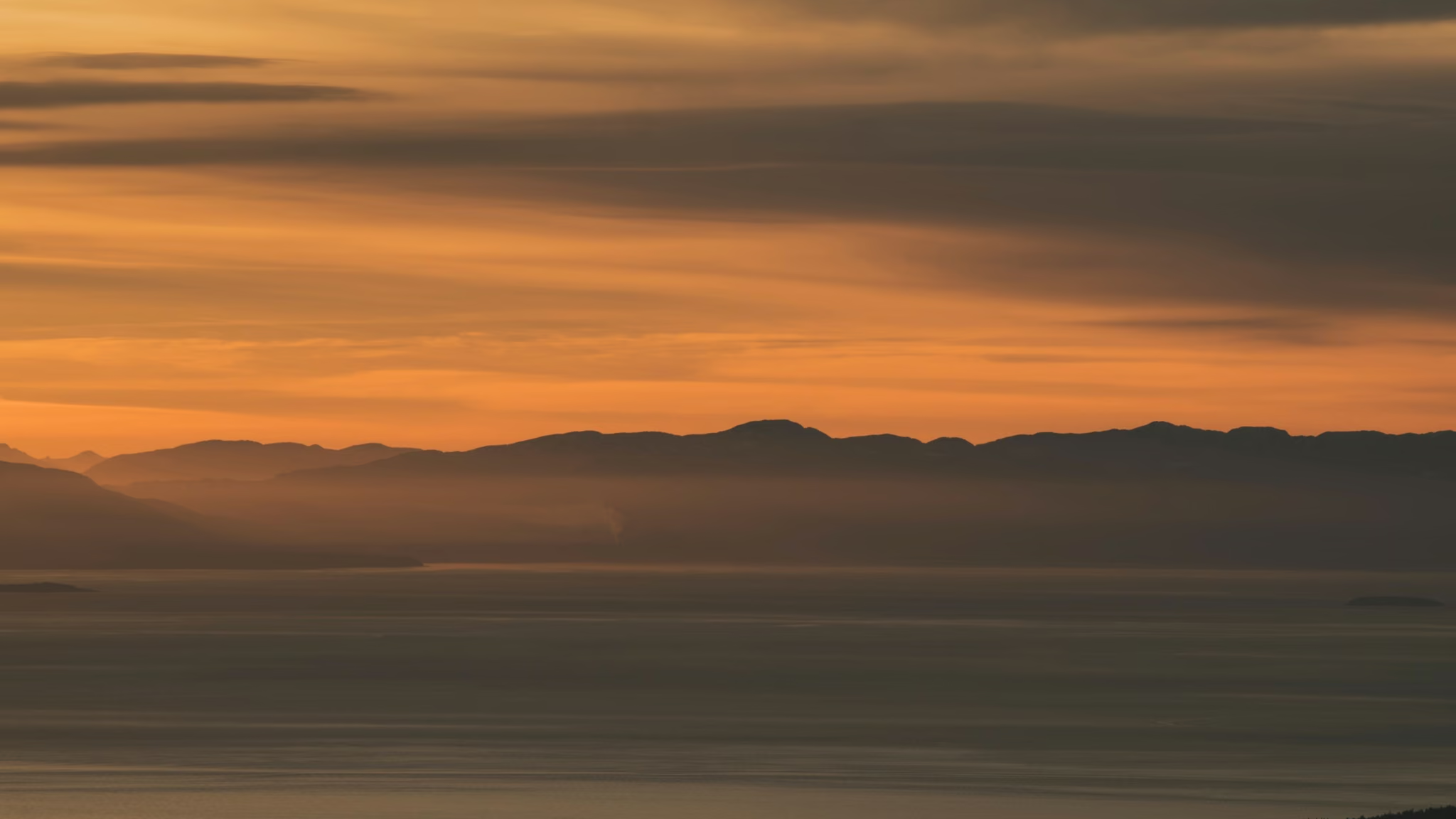
Tunnel Bluffs
An 11.5 km round trip climbing 470 m from Lions Bay to an open bluff 600 m directly above Howe Sound. I hiked it again on 16 August 2026 for sunset. The view is still the reason to go. The parking is still the thing that will ruin the day if you get it wrong.
2.6 km100 m1-2 h
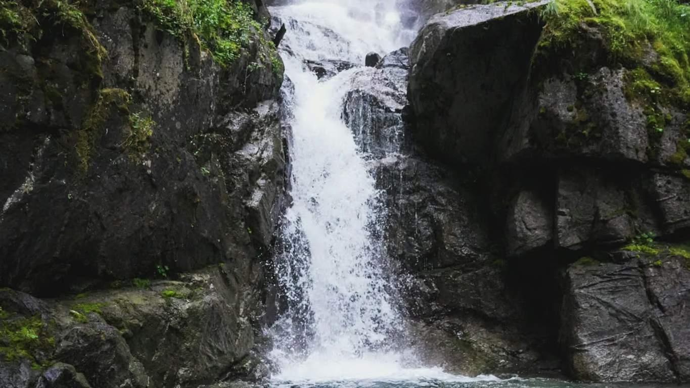
Bosumarne Falls
A 2.6 km return walk off Chilliwack Lake Road to a tiered waterfall with no sign, no lot and no bridge you can rely on. Under an hour of walking, but the creek crossing is the whole story and it is the reason this one is a spring-and-fall trip rather than a freshet trip.
8 km765 m3-5 h
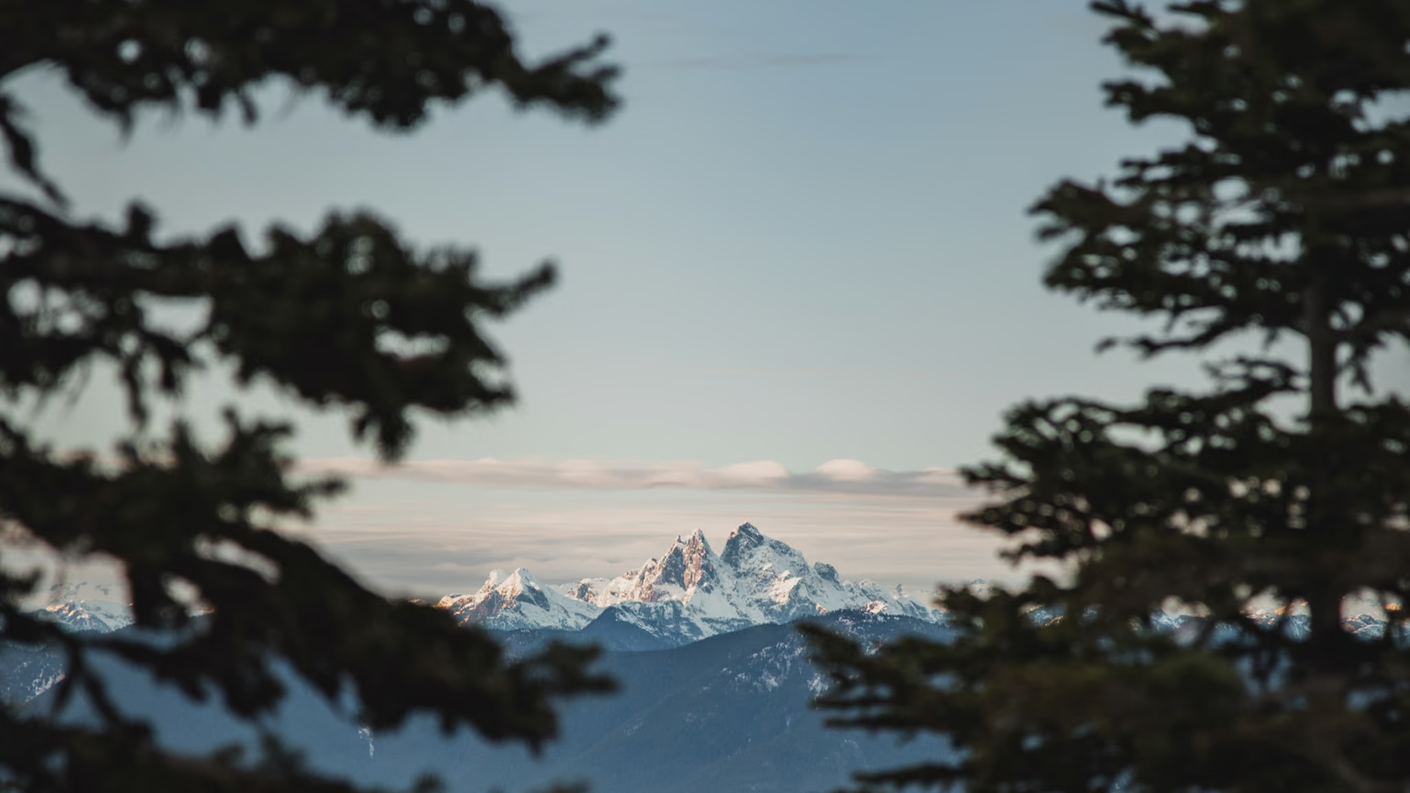
Elk Mountain, Chilliwack
An 8 km return climb of 765 m to an open meadow summit at 1,430 m above Chilliwack, with a paraglider launch just below the top and a view that runs from Cultus Lake to Mount Baker. Steep, relentless, dusty, and one of the first alpine-feeling summits in the valley to melt out.
Free · by email
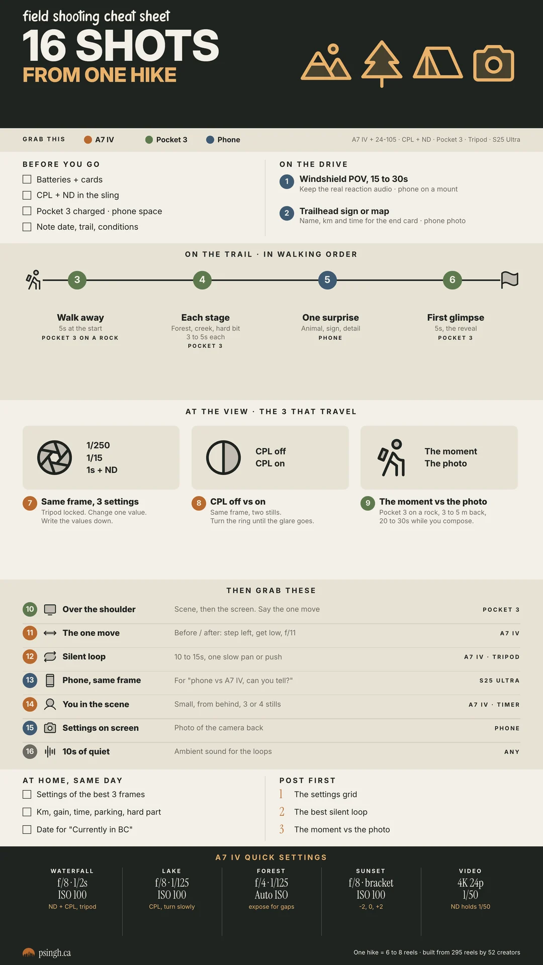
The field shooting cheat sheet
The 16 shots I take on every hike, in walking order, with the camera for each, plus my trail kit and A7 IV settings. Print it or keep it on your phone.
- Print PDF, US Letter
- Phone version for the trail
- Trail kit and A7 IV starting settings
Confirm your email and it arrives straight after. What's in it
Around the site
More to explore
Gear
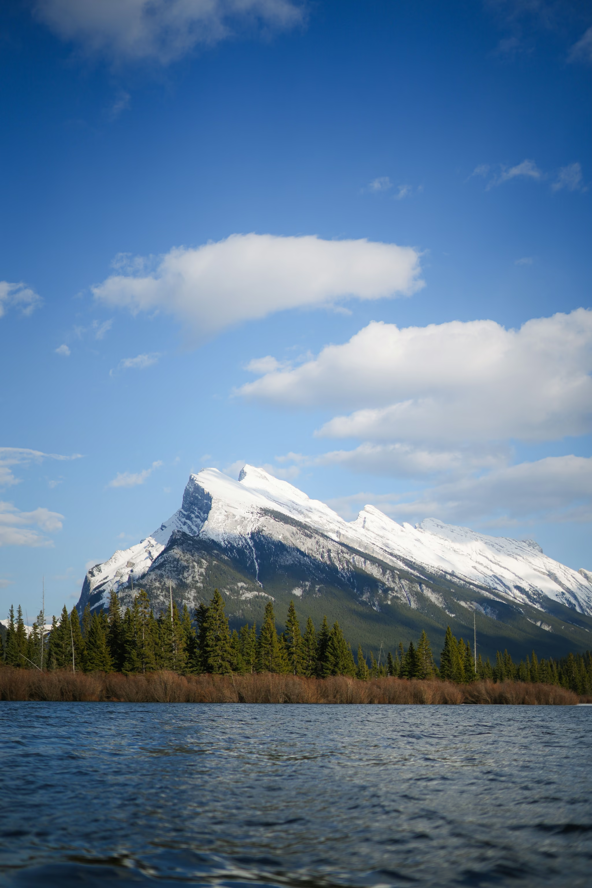
Nikon D850 to Sony A7 IV: what changed on the trailI shot BC trails on a Nikon D850 before I moved to the Sony A7 IV. Here are my photos from both, side by side with the settings from the files, and what the switch changed.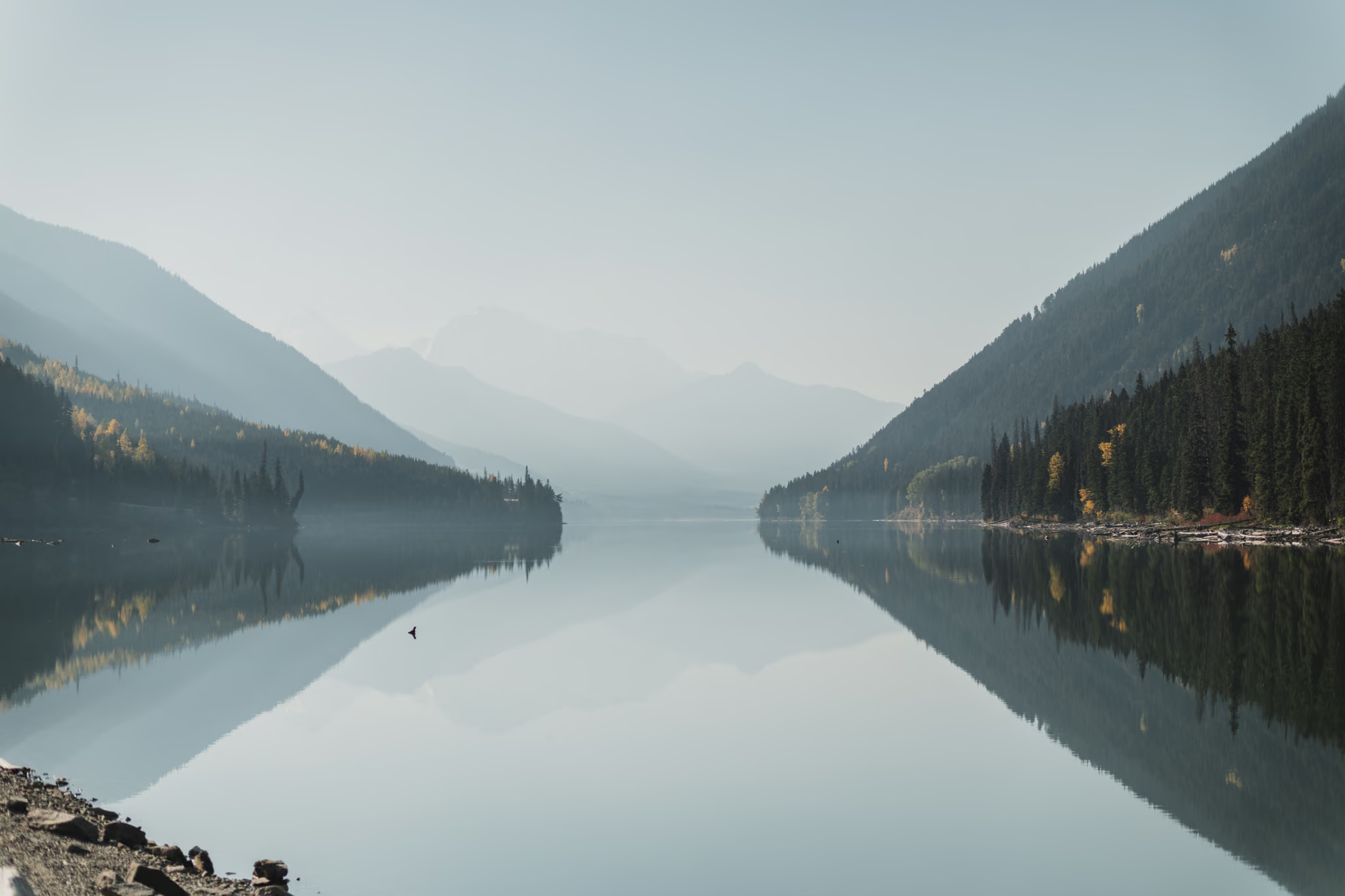
Journal
Fall Colours on the Duffey Lake Road: A One-Day 600 km Loop from SurreyA single big autumn day: leave Surrey at 6am, run the Fraser Canyon to Lytton and Lillooet, stop at the Seton Lake Lookout, cross the Duffey Lake Road while the cottonwoods are yellow, and come home down the Sea to Sky past four waterfalls. About 600 km and 15 hours, with an hour-by-hour schedule and when colour peaks.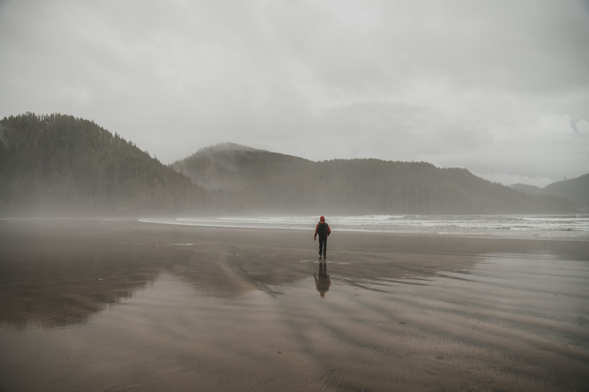
Photography
Photographing British ColumbiaLandscape and outdoor work from the trails and road trips, and the frames I keep for myself.
On Instagram
@psingh.ca
Reels from the trail every week: the settings, the spot, and the moment behind the photos.