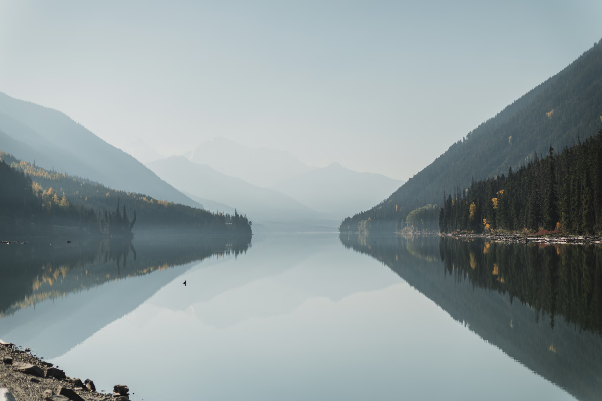
Fall Colours on the Duffey Lake Road: A One-Day 600 km Loop from Surrey
The best single-day fall drive out of the Lower Mainland: roughly 600 km and 15 hours that trades the Fraser Canyon for the Duffey Lake Road at peak cottonwood yellow. Go in the last week of September or the first week of October, fill up in Lillooet, and accept that the Sea to Sky leg home will be in the dark.
·
Quick facts
- Length
- 1 day
- Driving distance
- 600 km
- Starts
- Surrey
- Ends
- Surrey
- Season
- Fall
The route
- 1Bridal Veil Falls
- 2Hope
- 3Alexandra Bridge
- 4Hells Gate
- 5Boston Bar
- 6Lytton
- 7Lillooet
- 8Seton Lake Lookout
- 9Duffey Lake
- 10Pemberton
- 11Nairn Falls
- 12Whistler
- 13Brandywine Falls
- 14Shannon Falls
On this page4 sections
I drove this loop in mid-October 2022. The 15th was Hope to Lillooet to the Seton lookout. The 16th was Duffey Lake, Pemberton, and Brandywine on the way home. The thing I did not expect was how much yellow was still up. Not a single viewpoint. Yellow on the Duffey benches, on the lake shore, and on the road itself.
That is the reason to do this as a one-day push rather than a comfortable weekend. The colour on the Cayoosh Creek and Duffey Lake corridor has a short window, and if you have one good Saturday in that window, you can drive the whole loop and be home the same night. It is about 600 km and 15 hours door to door from Surrey. I split it across two days because I wanted the lookout and the lake in daylight. The schedule below is the compressed version. It is a lot of driving. It is also the only way to see two completely different autumns, the dry Interior one and the coastal one, in a single day.
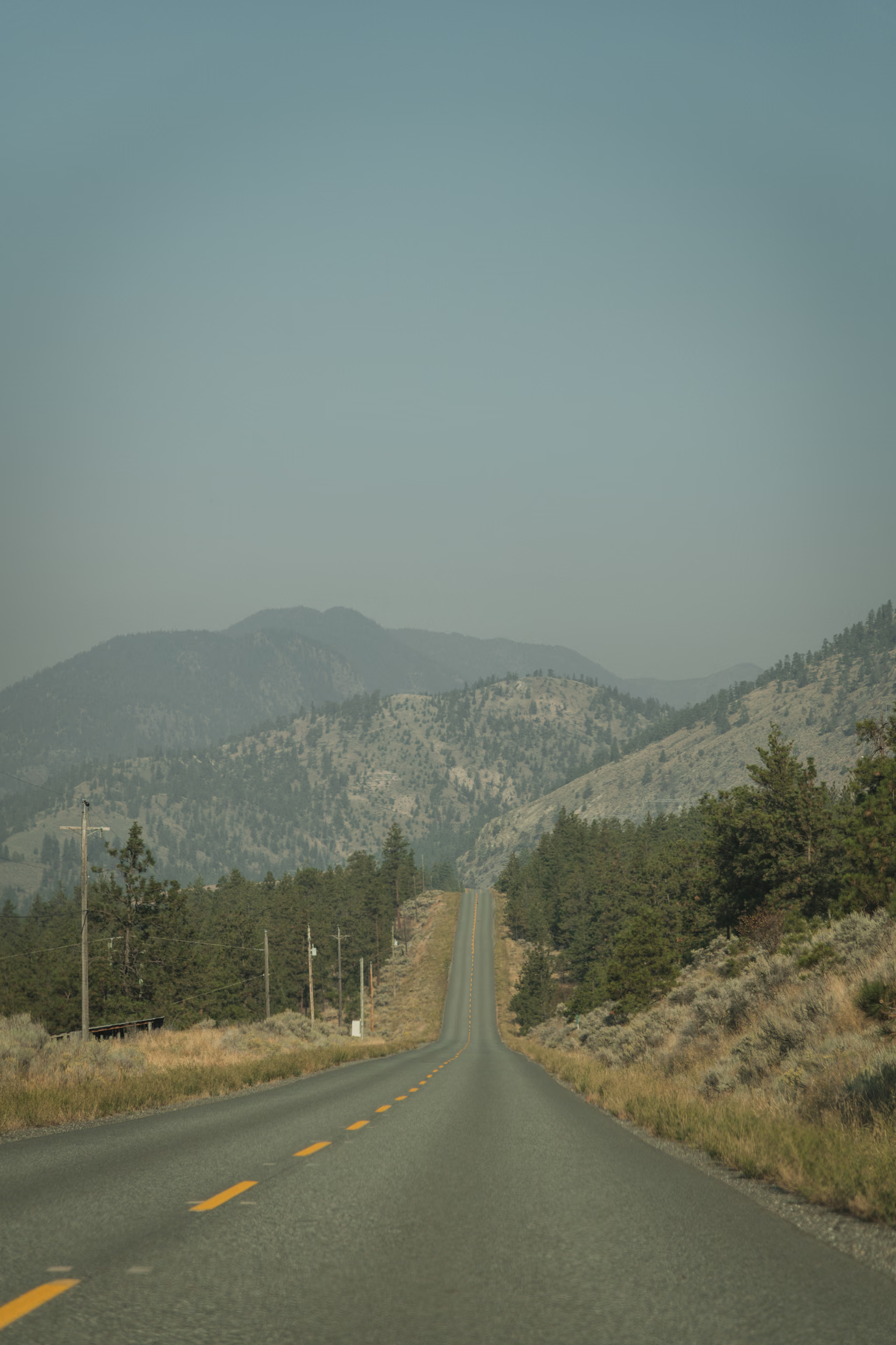
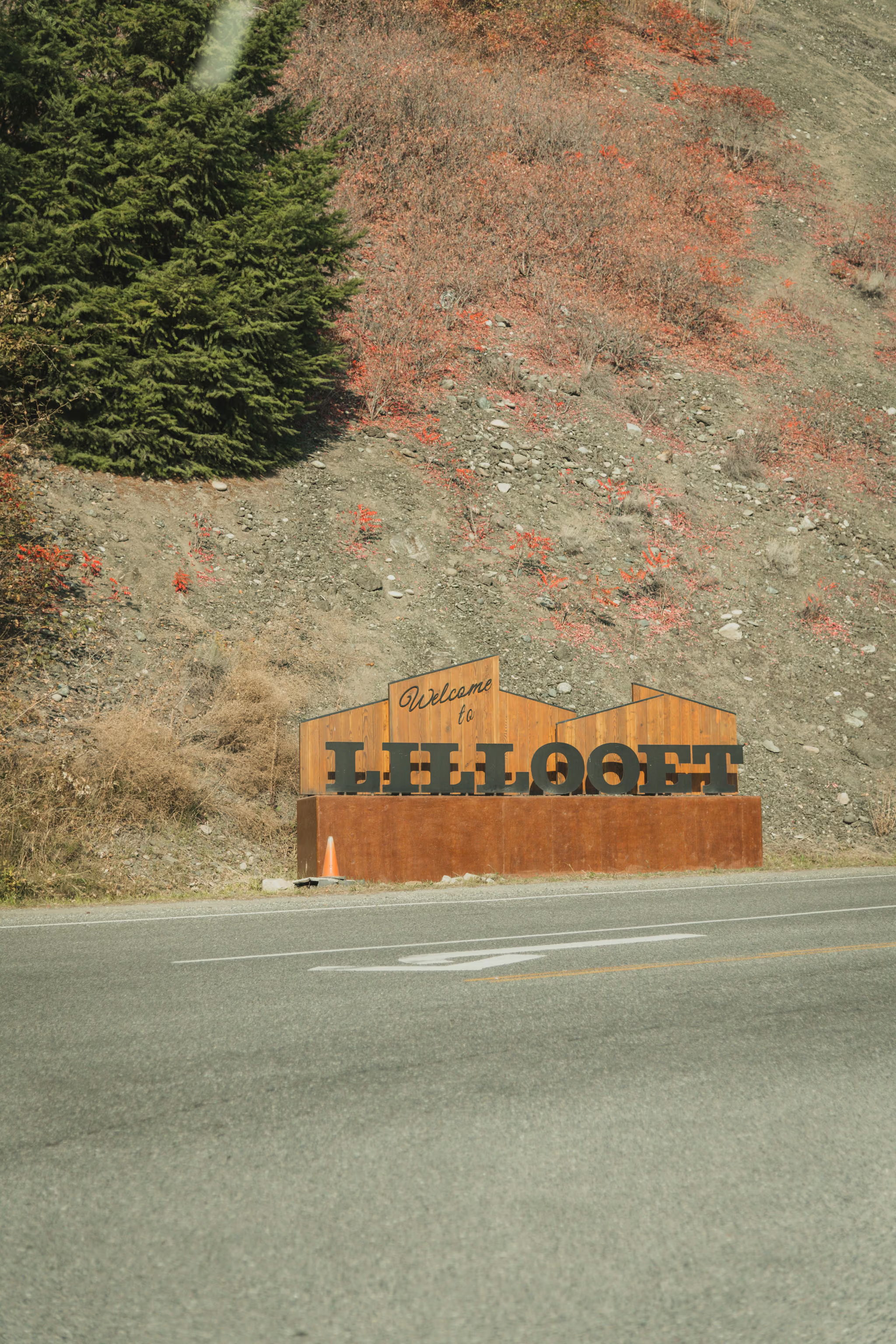
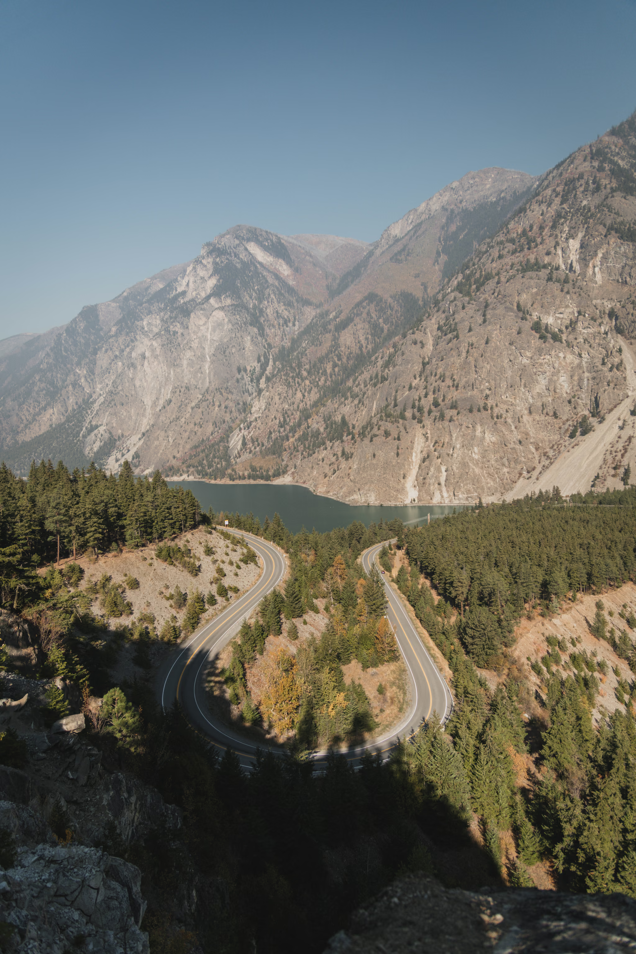
The photographs on this page are from those two October days. Haze in the canyon. The Lillooet sign. The hairpin above Seton. The lake as a mirror. Brandywine on the way down the Sea to Sky.
When the colour peaks
This is the part worth getting right, because everything else on this trip is fixed and the colour is not.
The yellow on this route is black cottonwood, trembling aspen, birch and willow, concentrated along Cayoosh Creek, the Duffey Lake benches and the Lillooet River flats. Lower down in the Fraser Valley and Canyon you also get vine maple and bigleaf maple, which run more orange and red. There is no larch on this corridor, despite how often people assume there is. Alpine larch in BC grows in the Rockies and Purcells, with a disjunct population in the Washington Cascades. If you want larch, that is a different trip to Manning Park.
Colour runs by elevation, earliest high and latest low:
| Band | Roughly | Typical window |
|---|---|---|
| Duffey and Cayoosh corridor | 700 to 1,300 m | Late September into the first half of October |
| Lillooet and the Fraser Canyon benches | 200 to 400 m | Early to mid October |
| Fraser Valley, Bridal Veil, Sea to Sky | Under 200 m | Mid to late October |
The practical answer is that the last week of September and the first week of October is when the Duffey section, which is the reason you are going, is most likely to be at or near peak. Two things move it year to year: an early hard frost pulls the whole thing forward by a week or more, and a warm wet autumn pushes it back. The bigger risk is not timing the turn but timing the strip. Once the leaves are up, a single strong wind and rain event can take a corridor from full colour to bare in about three days. If you get a clear, calm, cold week in that window, go that weekend rather than the next one.
There is a real tension in this trip and you should know it before you commit. Peak Duffey colour and useful daylight for the Sea to Sky waterfalls do not fully overlap. The later in October you go for lower-elevation colour, the more of the drive home happens in the dark.
The schedule
This adds up to almost exactly 15 hours. Drive times assume normal conditions and no delays; the stop lengths are what make the day work.
| Time | Where | Stop | Next leg |
|---|---|---|---|
| 6:00am | Depart Surrey | 95 km, 1h15 | |
| 7:15am | Bridal Veil Falls | 20 min | 37 km, 0h35 |
| 8:10am | Hope (fuel, coffee) | 25 min | 66 km, 1h00 |
| 9:35am | Alexandra Bridge and Hells Gate | 30 min | 44 km, 0h40 |
| 10:45am | Lytton (fuel, coffee) | 20 min | 63 km, 1h00 |
| 12:05pm | Lillooet (lunch, fuel) | 40 min | 11 km, 0h15 |
| 1:00pm | Seton Lake Lookout | 50 min | 48 km, 1h00 |
| 2:50pm | Duffey Lake | 25 min | 52 km, 1h00 |
| 4:15pm | Nairn Falls | 45 min | 45 km, 0h45 |
| 5:45pm | Brandywine Falls | 25 min | 52 km, 0h45 |
| 6:55pm | Shannon Falls | 25 min | 86 km, 1h35 |
| 8:55pm | Home in Surrey |
That is about 9h50 of driving and 5h05 of stops. The schedule has no slack in it. If you lose an hour anywhere, you do not get it back.
What to cut, in order. Drop Brandywine Falls first: it is the least distinctive of the four waterfalls and it costs you 25 minutes plus the walk in. Then drop Bridal Veil Falls, which is genuinely good but is also the one stop you can do on any random Sunday from the Lower Mainland without driving 600 km. Then shorten Hells Gate to a highway pullout look rather than a stop. Do not cut Seton Lake or Duffey Lake. They are the trip.
The light. In late September, sunset in the Sea to Sky is around 7pm, so Shannon Falls at 6:55pm is right at the edge. By mid October it is dark by roughly 6pm, which means Brandywine and Shannon are both night stops and not worth scheduling. Past early October, plan to finish your daylight at Nairn Falls and treat the Sea to Sky as a night drive home.
The stops that matter
Bridal Veil Falls is exit 135 off Hwy 1, about 16 km east of Chilliwack, dropping 60 m over a smooth rock face, a short walk from the parking lot. At 7:15am in October you will have it nearly to yourself.
The Fraser Canyon between Hope and Lytton is the transition. Alexandra Bridge Park is a roadside picnic site about 2 km north of Spuzzum, with a short walk down to the 1926 bridge deck. Hells Gate at Boston Bar is where the whole Fraser is forced through a narrow channel; the airtram runs daily 10am to 5pm at $36.99 an adult, but on a 15-hour day the free highway pullouts do the job in a tenth of the time.
Lytton is a stop you should make deliberately. The village burned in June 2021 and is still rebuilding, and the Village's own guidance is that visitors are welcome. There is fuel and food at G'wsep Gas & Food and coffee at Kumsheen Coffee Bar. Buy something, fill your tank, and do not photograph people's homes.
Hwy 12 from Lytton to Lillooet is 63 km, fully paved, narrower than Hwy 1, winding above the river with few pullouts. Fine in a 2WD car, not a road to hurry on. The landscape shifts from canyon forest to open sagebrush benchland in under an hour.
Seton Lake Lookout
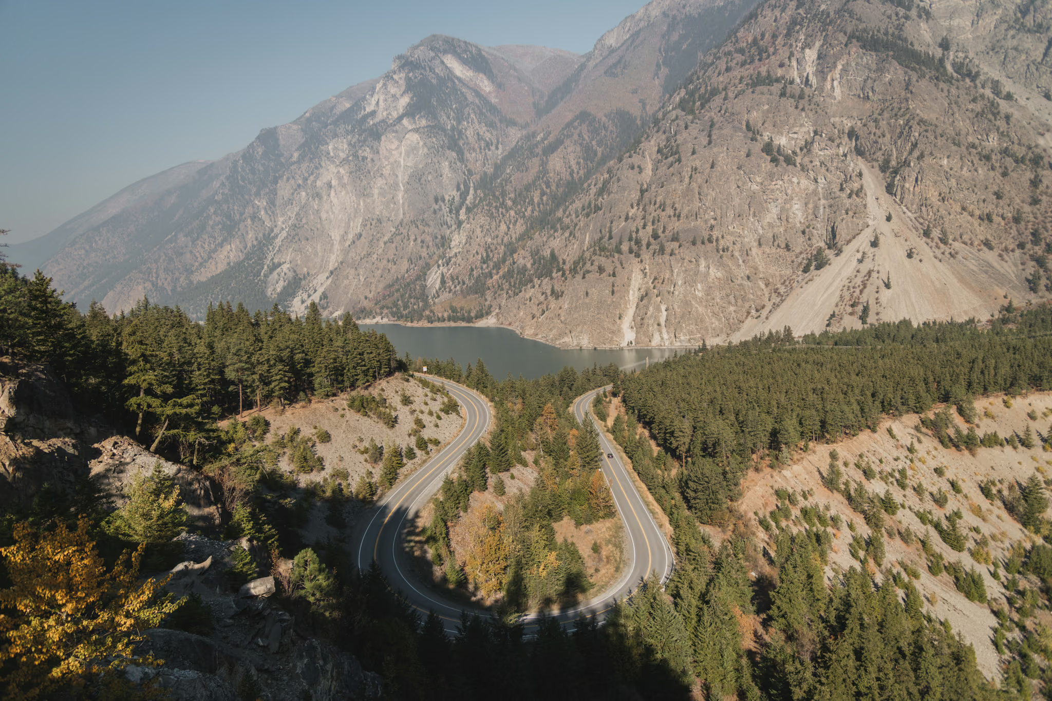
The lookout is on Hwy 99 about 11 km and 15 minutes southwest of Lillooet, at roughly 50.642 N, 122.026 W. It sits at about 647 m, which is close to 400 m above the lake surface, and that height is the whole point: you are looking straight down the length of a long, narrow, steep-walled glacial trough filled with opaque turquoise water.
Be aware that several things near Lillooet carry similar names and they are not the same place. Two other short walks in the area, both confirmed in mapping and elevation data, but neither of them the high lookout:
| Walk | Length one way | Elevation | Surface |
|---|---|---|---|
| Seton Lake Trail (lake level, near Lillooet) | ~265 m | 251 to 278 m, about 27 m gain | Gravel |
| Seton Lake Viewpoint Trail (lower Hwy 99 pullout) | ~530 m | about 362 to 367 m, rolling | Bare ground, rougher |
Honestly: none of these is a hike in any serious sense. They are short walks, and the main lookout is a roadside viewpoint you walk a few dozen metres into. I have budgeted 50 minutes because the view earns it, not because you need the time to cover ground.
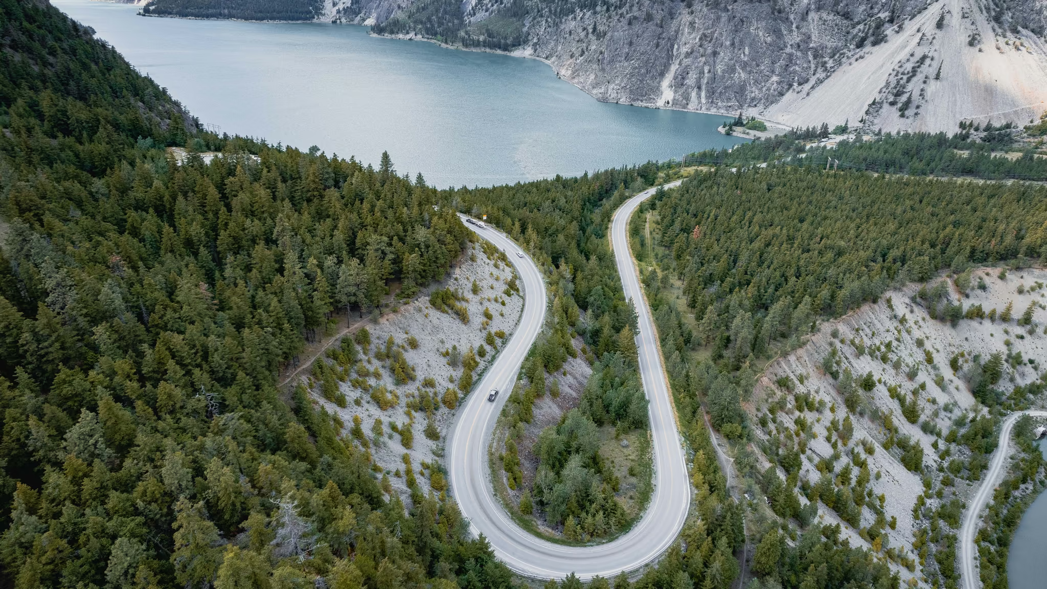
I stood on the high pullout, 15 October 2022. A few dozen metres from the car, rocks in the foreground, the hairpin below, Seton still holding colour. I did not walk the lake-level trail. The lookout is the photograph. If you wanted the bluff walk written up as a hike, that is Seton Lake Lookout. The photo-spot page is the five-minute version.
Duffey Lake and the drive that makes the trip
From Seton the highway climbs Cayoosh Creek, and this is the stretch that justifies the whole day in fall. The creek runs beside the road for most of the climb with cottonwood and aspen on both banks.
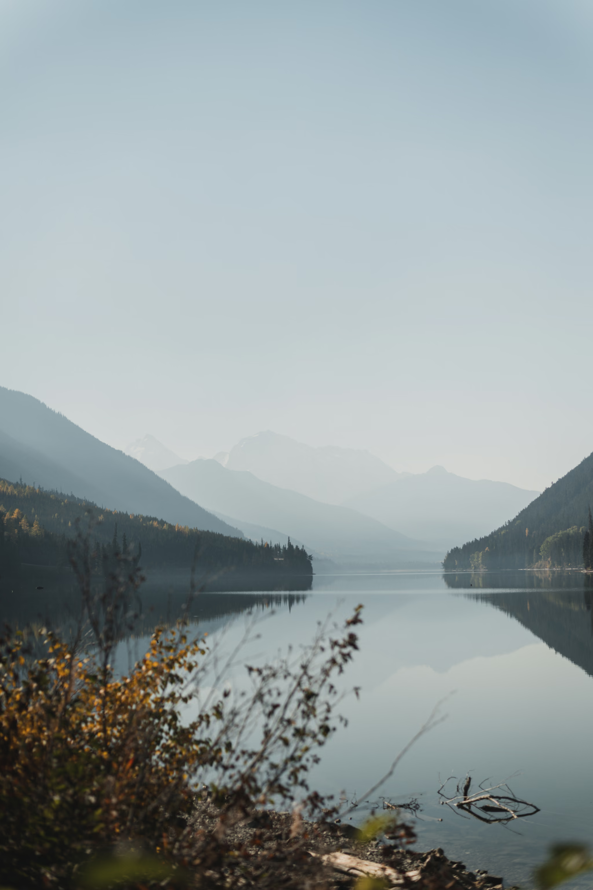
Duffey Lake sits at about 1,121 m, roughly 48 km from the lookout. The pullouts are on the north side of the highway, looking south and southwest across the water at the Cayoosh Range. Early afternoon is flat light here; the lake is better in the last hour before the sun drops behind the ridge, which on this schedule you will not get. That is the trade you make by driving clockwise, and it is the right one, because counter-clockwise puts you on the Duffey in the dark instead.
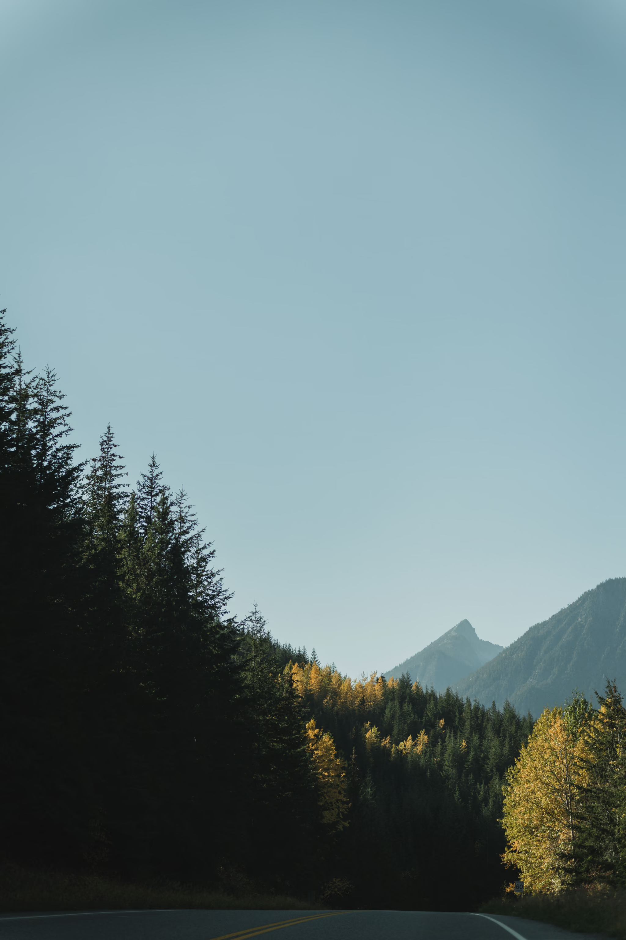
I stopped at the shore on 16 October. Still water, autumn brush, peaks stacked in haze. A few metres back, the road itself with yellow in the trees and a pyramid peak. Both frames are on the Duffey Lake photo-spot. Do not stop in a travel lane for either of them.
Joffre Lakes is on this road and does not fit this itinerary, but you will pass the lot. If you add it another time, the 2026 rules: day-use passes required daily May 11 to October 25, 2026; the park closed to recreational visitors June 20 to 27 and September 8 to 30, 2026 so the Lil'wat Nation and N'Quatqua can connect with the land; dogs prohibited; no parking on Hwy 99, where vehicles are towed. That September closure overlaps the front edge of colour season.
The waterfalls home
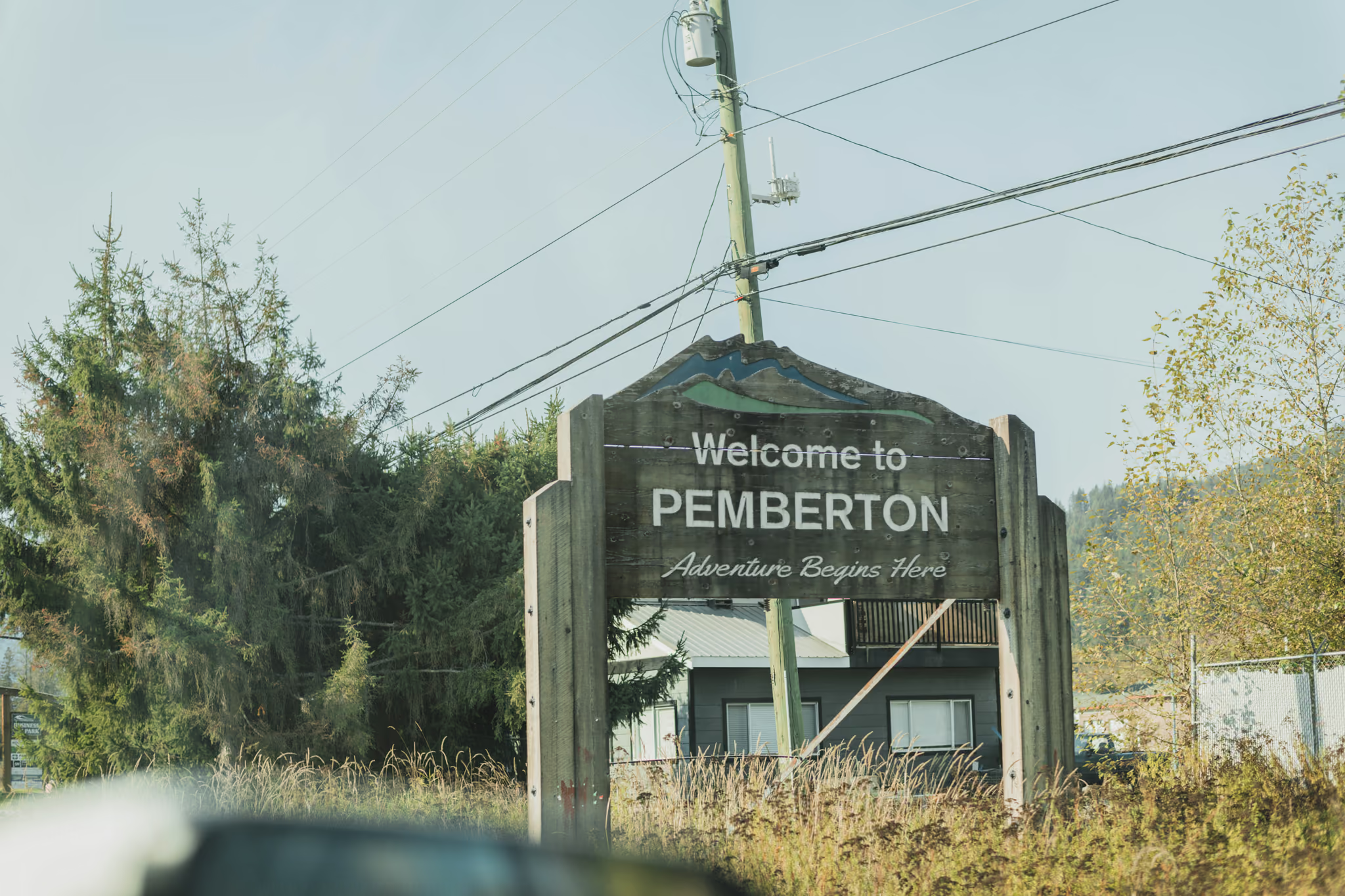
Off the Duffey you drop into the Pemberton valley. The wooden welcome sign is the first proof you are back on the Sea to Sky side of the pass.
Nairn Falls, five minutes from Pemberton, is 60 m high with a 1.5 km trail to the viewpoint. Check its status first: as of mid-July 2026 the park's water system was out of order and BC Parks had flagged the Signal Hill wildfire (V30852) north of the park, with trails toward One Mile Lake and Signal Hill closed. I did not photograph Nairn that October.
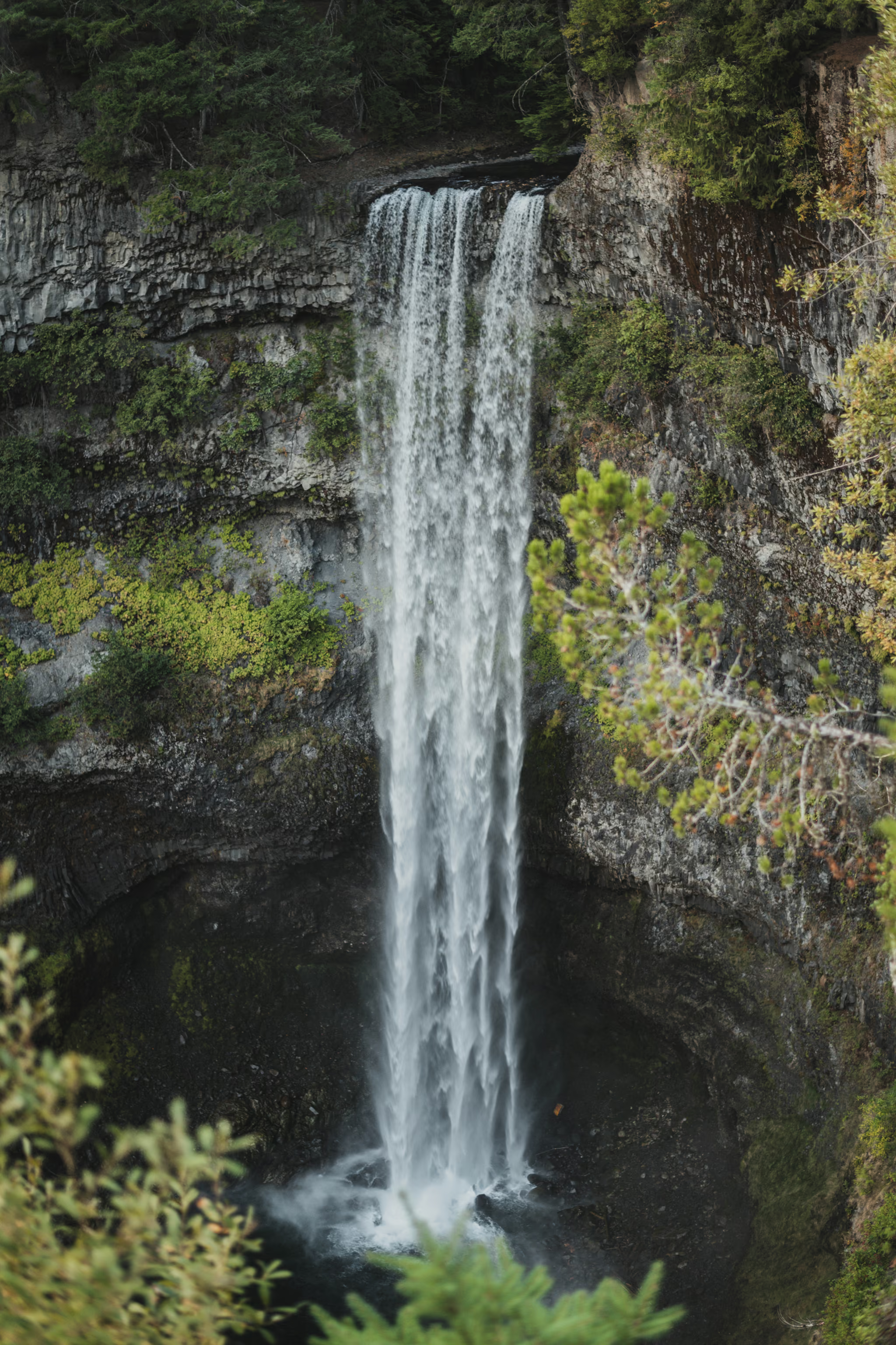
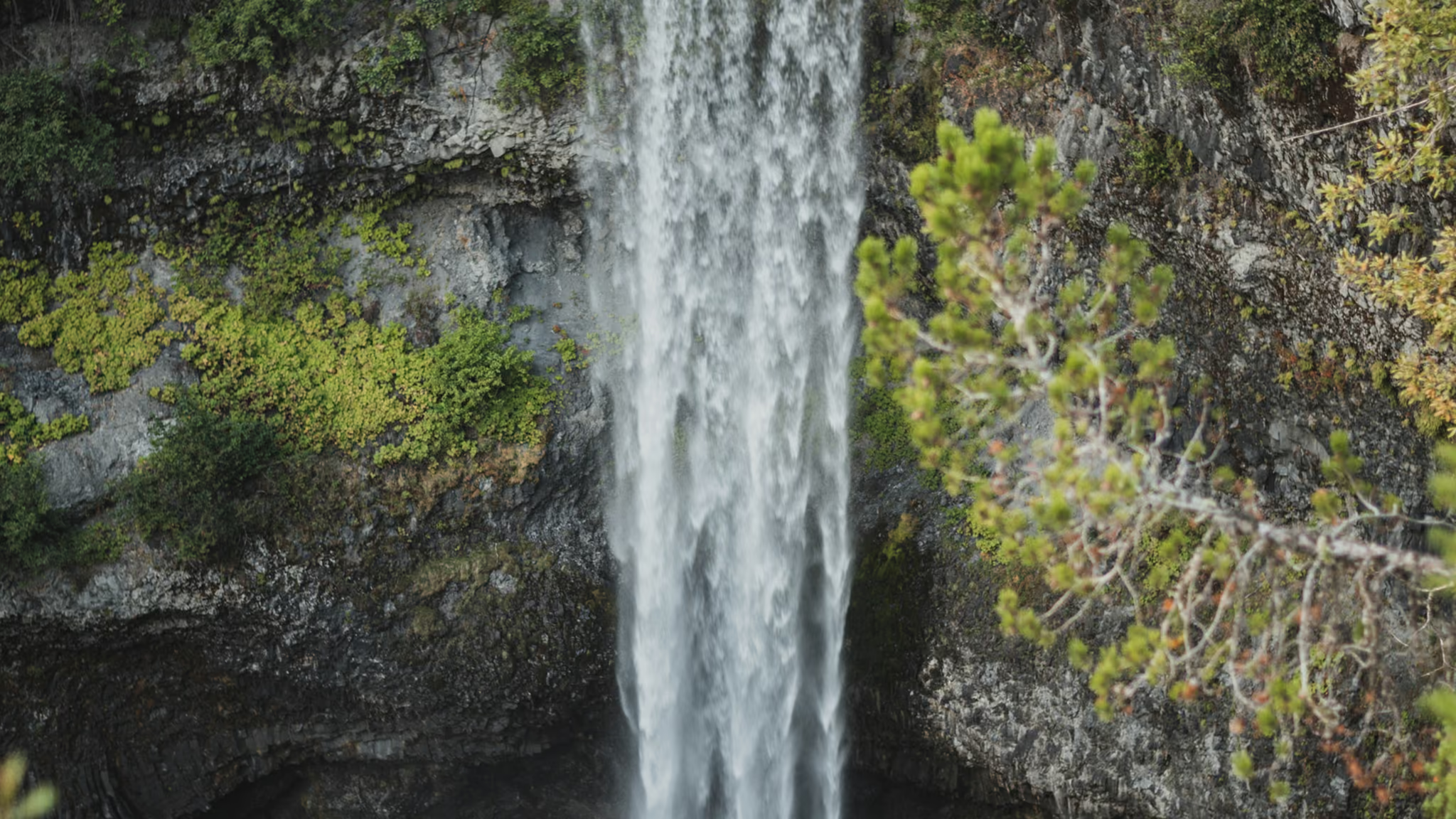
Brandywine Falls is a 70 m drop about 47 km north of Squamish, reached by a short walk to a viewing platform. I was on the platform 16 October 2022, overcast, the falls as a single white column. That is the Brandywine guide. Shannon Falls, 2 km south of Squamish and directly beside Hwy 99, rises 335 m and is the third highest waterfall in BC. Shannon is the best of the three and the easiest to reach, which is why it is last on the list to cut. I do not have a Shannon frame from this drive.
Honest caveats
This is a genuinely long day. Nearly ten hours behind the wheel, most of it two-lane, some of it mountain highway. Two drivers make it much safer. If it is one driver, the Sea to Sky leg at 7pm after 13 hours is the part to worry about, not the Duffey.
Almost none of this needs 4WD. Every leg is paved and fine in a 2WD car in fall. What it does need is decent tires and working brakes, because the Duffey has sustained descents in both directions.
Shoulder season changes the calculation. By late October the Duffey can get its first snow, and it closes periodically through winter for washouts, rockslides and avalanche control. If you are pushing the date late for lower-elevation colour, check DriveBC the morning you leave.
Fire and smoke are a real autumn risk too. Campfire prohibitions in the Kamloops Fire Centre, covering the Duffey Lake, Marble Canyon and Stein Valley parks, took effect at noon on July 10, 2026, banning Category 1, 2 and 3 fires. The Coastal Fire Centre had partial Category 1 restrictions and full Category 2 and 3 prohibitions in the same period. Smoke can also erase the view entirely: an air quality advisory covered the Fraser Canyon including Lytton on July 20, 2026. Bans usually lift with the fall rains, but a dry September keeps them in place.
The same loop works in summer with far more daylight and much less schedule pressure. It just is not this trip. Without the colour, the Duffey is a good drive rather than the reason you got up at five.
Mid-October 2022 the canyon was hazy, the Duffey still had yellow, and Brandywine was running. That is not a forecast. Colour moves a week either way. Check the trees, not last year's calendar.
Drove Highway 12 into Lillooet on the 15th, the high Seton lookout the same afternoon. Duffey Lake shore and the road in yellow on the 16th, then Pemberton and Brandywine on the Sea to Sky home. Haze in the far ridges. The lake was still. The platform at Brandywine was quiet.
Reported by Parveen Singh
Route facts verified against BC Parks park pages and advisories, Village of Lytton service listings, BC Wildfire Service prohibitions, and OpenStreetMap plus elevation data for the Seton Lake trails and lookout. Joffre Lakes closure windows (June 20 to 27 and September 8 to 30, 2026) and day-pass dates (May 11 to October 25, 2026) are current as posted. Signal Hill wildfire active north of Nairn Falls Park. Peak fall colour timing is a general pattern, not a forecast, and shifts a week or more year to year.
Reported by Parveen Singh
Trails on this trip
Full guides for every hike in the itinerary - distances, conditions and where the light lands.
 Whistler & Pemberton
Seton Lake Lookout: The Hairpin Above the Turquoise
The Duffey stop people mean when they say they photographed Seton. A few minutes from the car to a bluff over the hairpin. Worth the four-hour drive only if you were already going to Lillooet or Joffre. Not a trail around the lake.
- Distance: 1 km
- Elevation gain: 40 m
- Difficulty: Easy
 Sea to Sky
Brandywine Falls: 70 Metres, Fifteen Minutes, and a Gate That Closes for Winter
The Sea to Sky's other ten-minute waterfall stop, and the honest one - a 70-metre drop over a volcanic ledge, a covered bridge, and a lot that is gated all winter. Worth the pull-off if the gate is open. Not worth a ticket for parking on the highway if it is not.
- Distance: 1.2 km
- Elevation gain: 20 m
- Difficulty: Easy