Joffre Lakes in Winter: What the Trail Is Actually Like in February and March
The lakes are better in February than in August and the crowd is a fraction of the size, but you trade a queue for real avalanche exposure, a snowbound road, and a lot that fills at first light anyway.
·
Quick facts
- Distance
- 10 km
- Elevation gain
- 400 m
- Difficulty
- Hard
- Time needed
- 4-8 hours
- Route type
- Out and back
- Season
- This guide covers the snow season only. Expect severe winter conditions from November until the end of May. February and March are the settled middle of that window. Winter here is for experienced, properly equipped parties, not a snowshoe version of the summer hike.
- Drive from Vancouver
- 3 h
- Transit accessible
- No
- Dog friendly
- No
- Pass or permit
- No pass requiredNo day-use pass in winter. Day-use passes are required daily for Pipi7íyekw/Joffre Lakes Park from May 11 to October 25, 2026, outside of closure periods, and park access depends on snow after October 25. A February or March trip needs no booking of any kind. The closures are the other half of the calendar and they are not winter closures: in 2026 the park is closed to recreational visitors and the general public June 20 to 27 and September 8 to 30, to give the Líl̓wat Nation and N'Quatqua space to connect with the land. Day-use passes are not issued during those windows. Those dates are set year by year, so check the BC Parks advisories before any non-winter trip rather than assuming 2026 repeats. Camping is at Upper Joffre Lake Campground only, reservable spring to fall, so there is no legal overnight option here in midwinter.
- Last hiked
- Traditional territory
- Unceded territories of the Líl̓wat Nation and N'Quatqua. The area between North Joffre Creek and Cayoosh Pass is Pipi7íyekw, a St̓át̓imcets name for a camping place where storage houses were.
On this page8 sections
Everyone writes the summer Joffre Lakes guide. Almost nobody maintains the winter one, and winter is when the park is most worth going to and most capable of hurting you. In the snow season the turquoise is gone, replaced by three frozen white basins under Matier Glacier, and the queue for the Upper lake photograph is measured in people rather than hundreds. What replaces the queue is avalanche terrain, a 400-metre climb on snow, and a highway that decides whether your day happens.
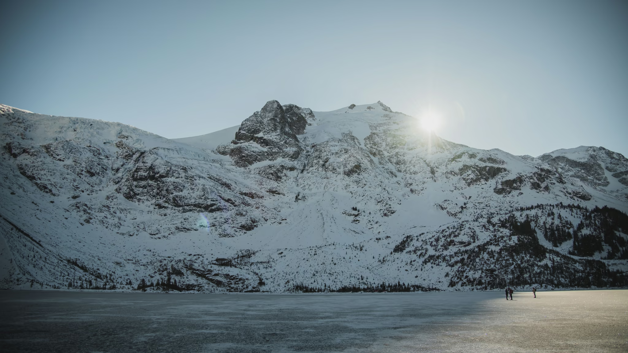
I was last here in mid-November 2022. The lakes were already frozen. Frost on the ice. Spikes on from the shoreline. A small group on the Upper lake, not a crowd. That is the version of this trail I am writing from.
The three lakes
It is about 10 kilometres round trip past Lower, Middle and Upper Joffre lakes, and roughly 400 metres of gain from the parking lot to the Upper lake. Those numbers do not change in winter. The time does. A summer party does this in four hours. In deep unconsolidated snow with a fresh trail to break, the same 10 kilometres can take eight, and that number matters more than it looks, because in early February you have roughly nine hours of usable light and the basin loses direct sun long before the valley does.
The trail that carries flip-flops in August is, from roughly December through April, a snow route with no visible tread, no exposed markers in places, and a surface that alternates between bottomless powder and glazed ice depending on how many people walked it after the last freeze-thaw.
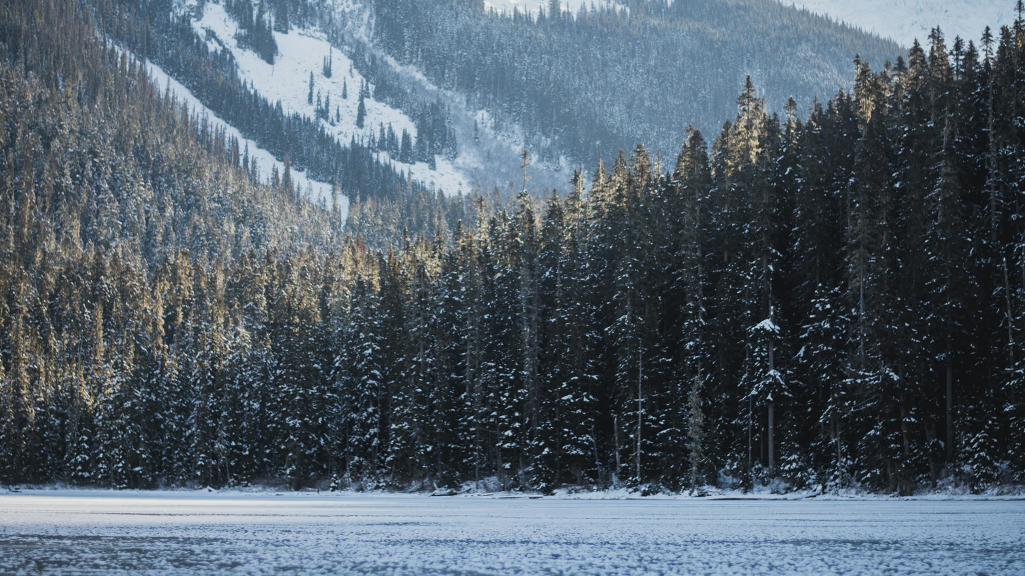
Lower lake is the first proof that you are not on the summer hike. The forest still makes a dark band. The peaks still catch sun. The water is a white plane.
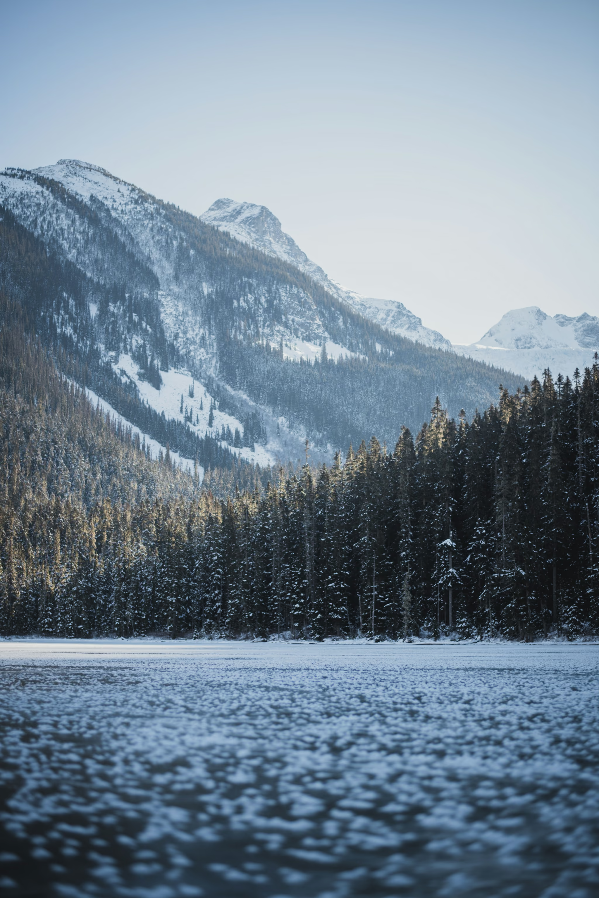
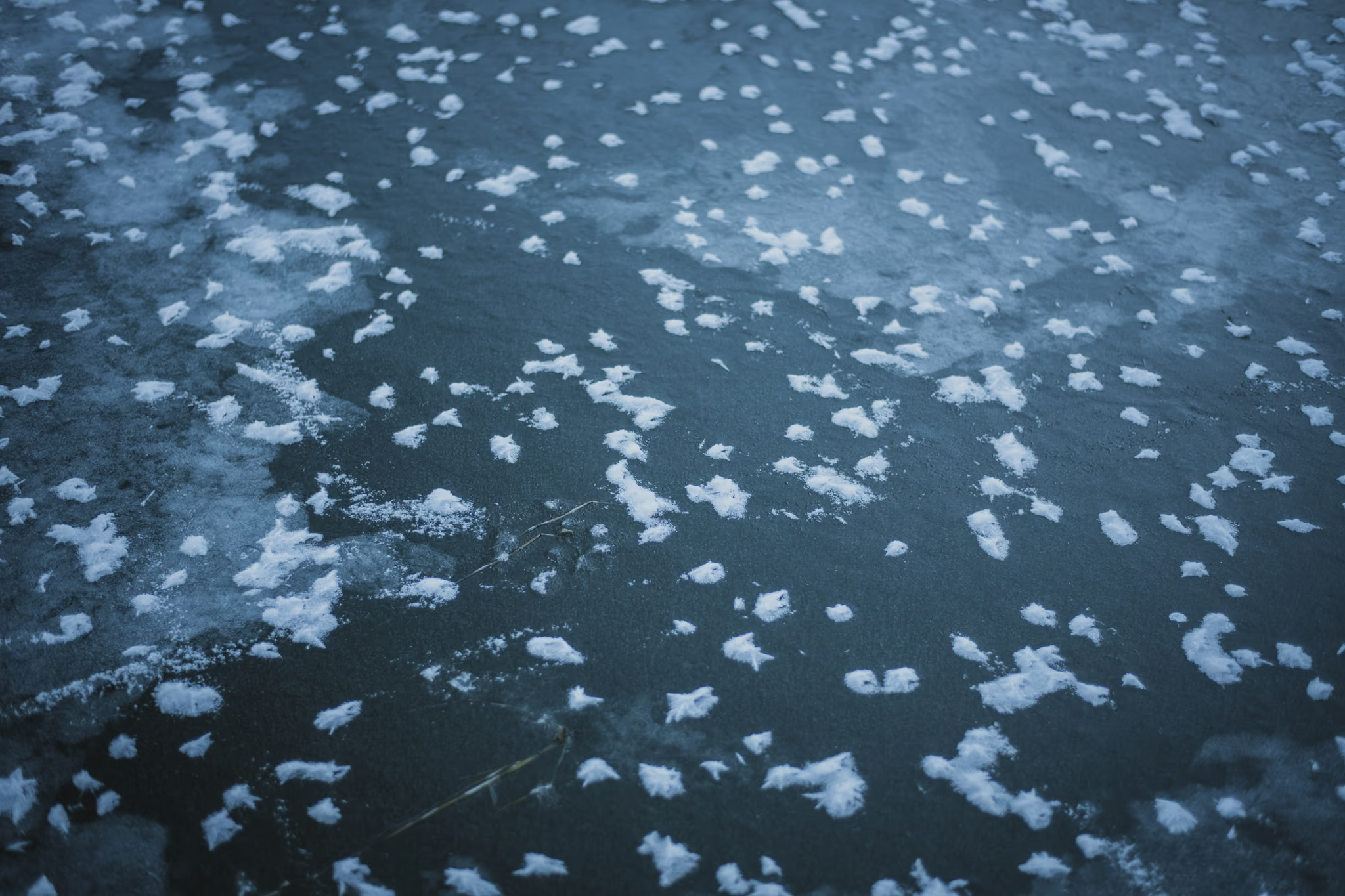
Micro spikes are the minimum. On a firm refrozen track they are faster and better; after a storm they are useless and you want snowshoes. The honest answer is that most winter weekends you want both in the car and you decide in the parking lot. We had spikes on for the ice.
Walking on the ice
In winter the lakes freeze hard enough to walk. That is also how people get into trouble.
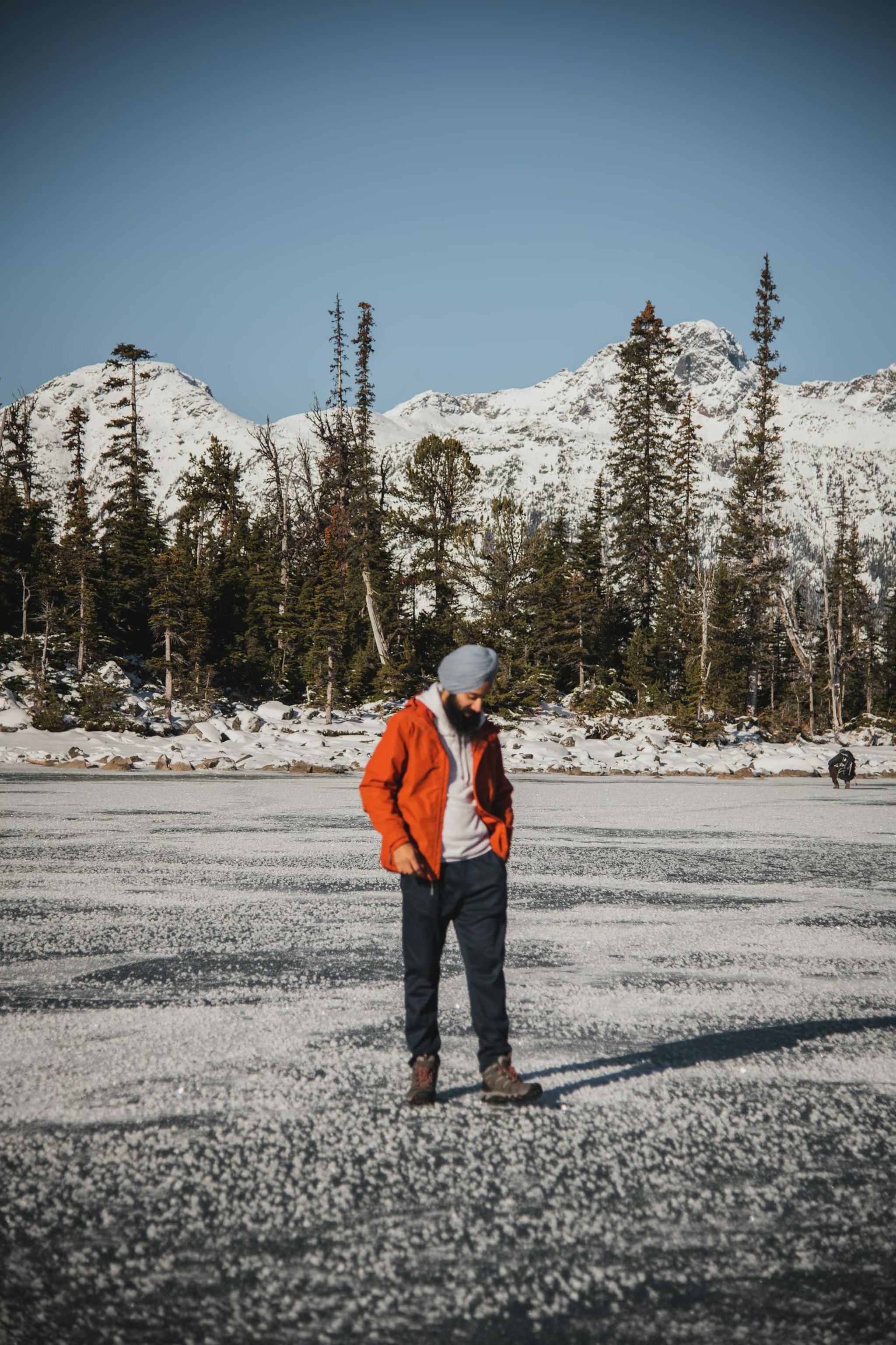
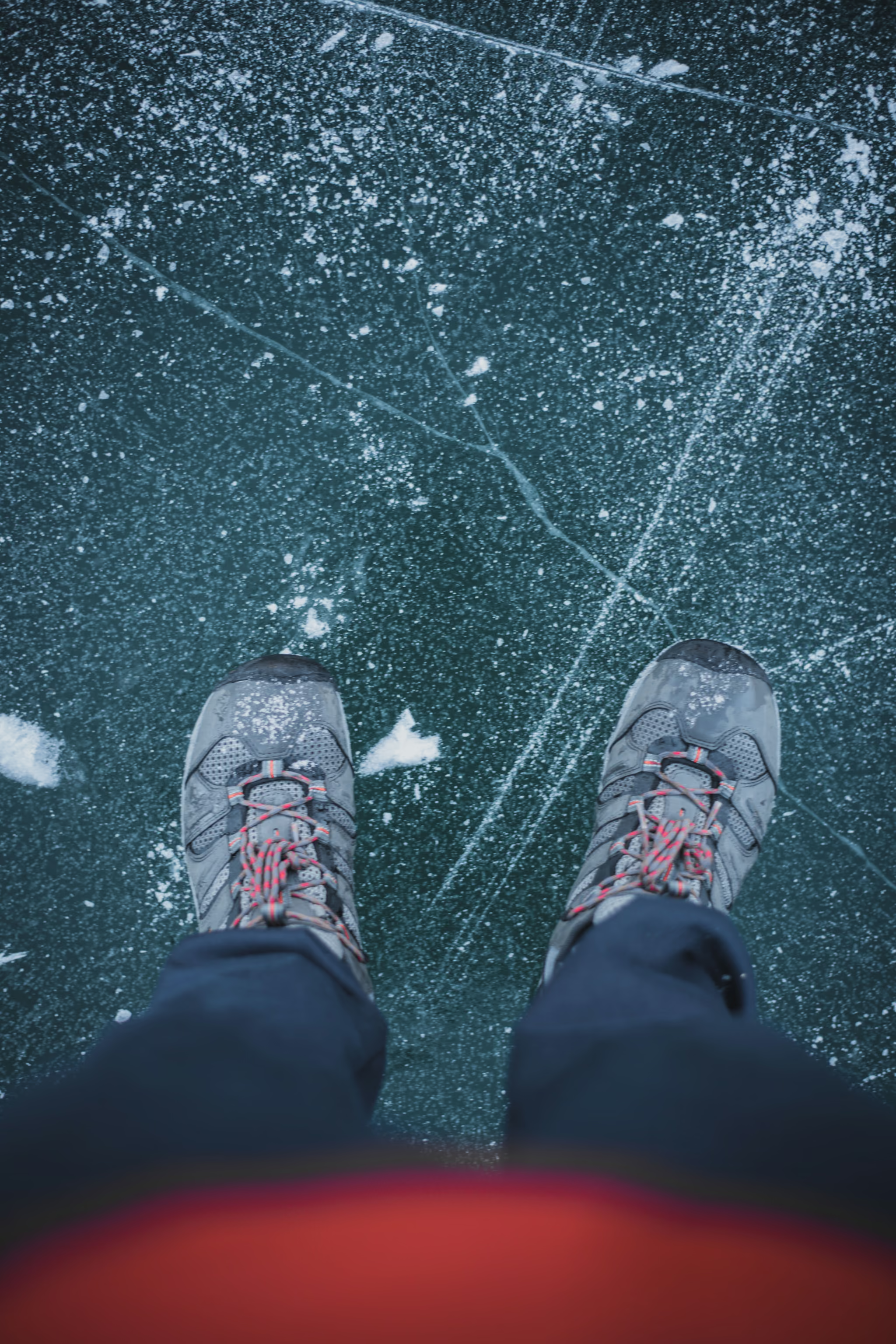
The photograph everyone wants is from the frozen lake, looking back at Matier Glacier. The problem is overhead. The upper basin sits under the glacier and steep loaded slopes. Icefall and rockfall are a year-round hazard above the Upper lake, and in winter that ground is loaded snow. Walking out onto the ice for the frame puts you in the runout of it. That is the decision that matters on this trail, and it is made by people who did fine on the climb and then relaxed.
I walked on the ice that day. I am not going to tell you it is safe because I did it. Treat the frozen surface as optional, not as the trail.
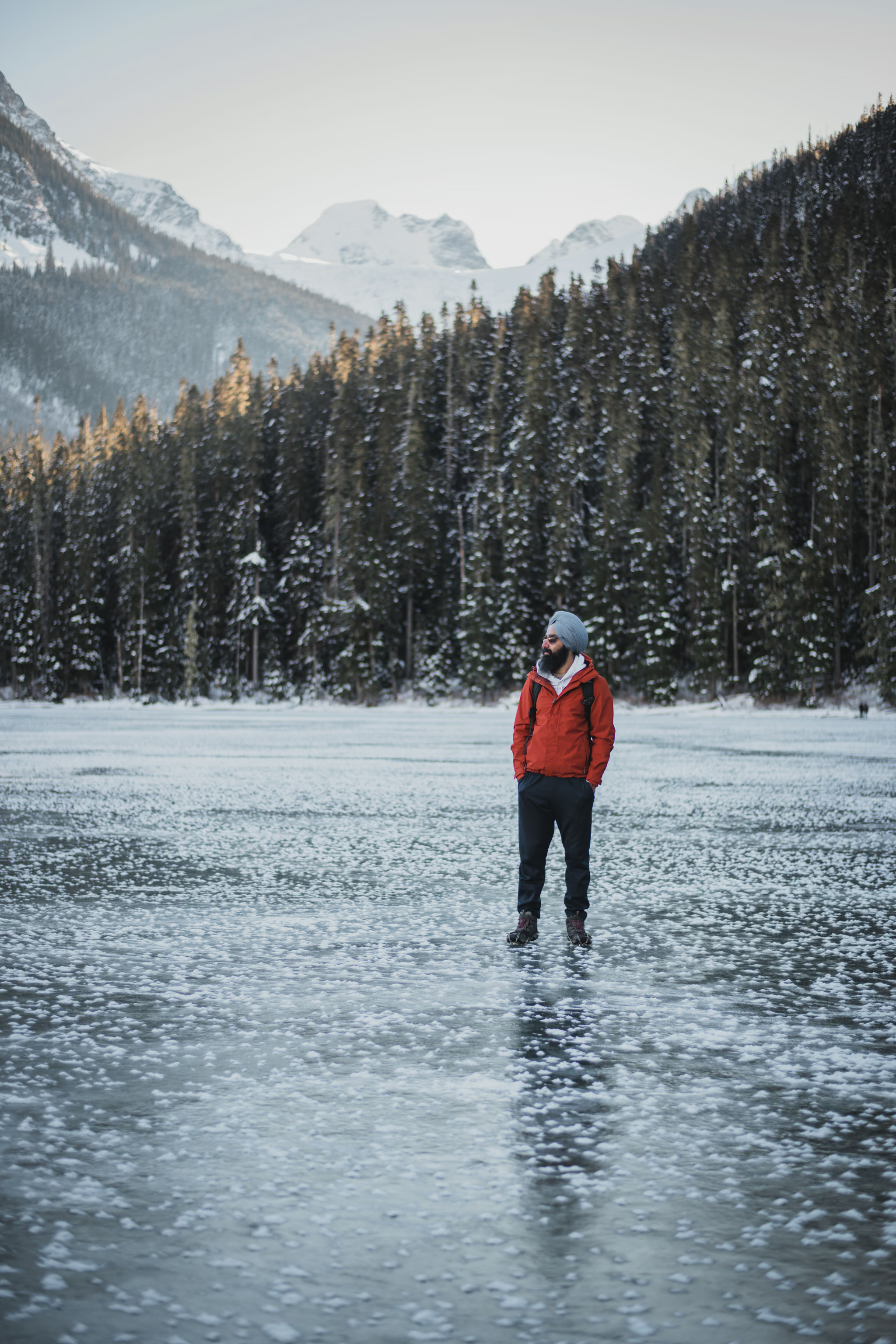
The ice in the basin
The walls hold ice. Long columns, hanging icicles, a person for scale. This is the winter subject the summer turquoise never had.
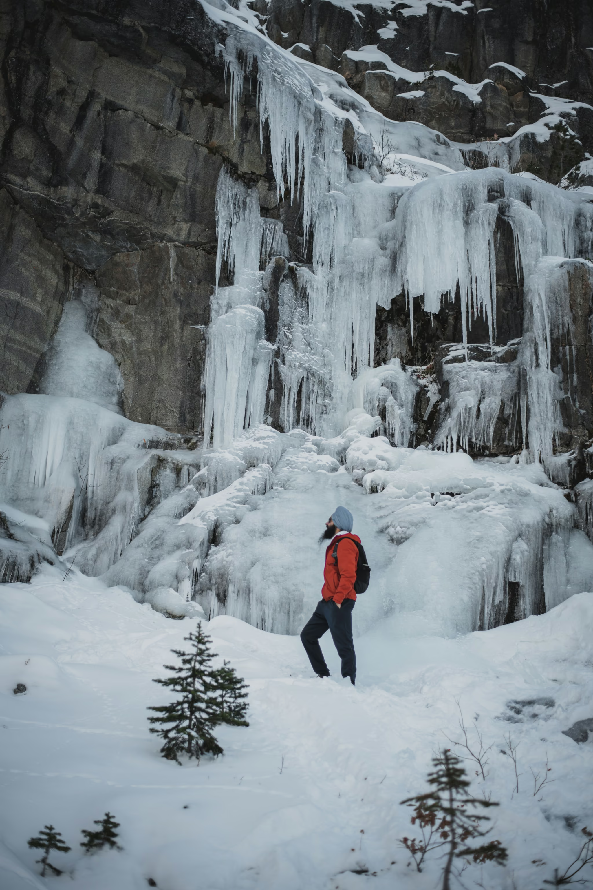
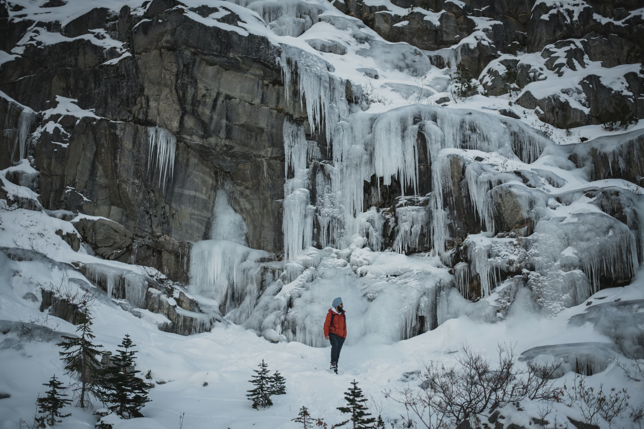
Do not scramble further uphill from the Upper lake for a closer look. The ground above is the hazard, not the scenery.
Avalanche terrain, stated plainly
Getting there, which is half the trip
Roughly three hours from Vancouver on Highway 99 through Squamish, Whistler and Pemberton, then east on the Duffey Lake Road. Winter tire or chain requirements are in force on this stretch from October 1 to April 30, and the Duffey climbs to a pass that carries its own weather. Vehicle access is weather-dependent from November to May. Winter parking is limited by snow clearing.
Check DriveBC before leaving. Leave Vancouver early enough that a closure or a slow plow does not eat your daylight, and accept that the lot fills. Joffre is busy seven days a week in every season, and a small winter lot fills faster than a big summer one. If the lot is full, drive on. Do not park on the Highway 99 shoulder. Cars there get towed.
Mid-November 2022 the Duffey was open and we reached the lakes. That is not a forecast. Check the road the morning you go.
Passes, closures and the rules that catch people out
There is no day-use pass in winter. Passes are required daily from May 11 to October 25, 2026, and park access depends on snow after October 25. A February trip needs nothing booked.
The closures people get caught by are not winter closures. In 2026 the park is closed to recreational visitors and the general public from June 20 to 27 and from September 8 to 30, so that the Líl̓wat Nation and N'Quatqua can connect with the land. Day-use passes are not available during those periods. The dates are set year by year, so check the advisories rather than assuming.
Two rules apply all year and both are enforced. Dogs and other pets are prohibited anywhere in the park. Parking is permitted only in the designated lots.
Timing and daylight
Work backwards. In early February, Pemberton gets a touch over nine hours of daylight, and the Joffre basin is in shade for a chunk of that. A conservative winter plan is on the trail by 9am, turnaround time fixed before you start, and headlamps for everyone regardless of how confident the plan feels. The descent is where winter days go wrong here: a track that was soft powder on the way up is a refrozen slide by late afternoon, and 400 metres of that with tired legs is how ankles get broken four kilometres from a road with no cell coverage.
All three lakes frozen. Frost on the ice. Spikes on from the shoreline. Ice walls in the upper basin. Duffey was open. Walked on the ice with a small group. The lakes were not empty, and they were not August.
Reported by Parveen Singh
Is it worth it
Yes, and I would go in winter over August without hesitating. The park is doing something in the snow that it cannot do in summer: the colour is gone, so what is left is form, scale and light, and Joffre Peak over a white lake is a better photograph than a crowded turquoise shoreline. But the honest framing is that winter does not make Joffre a quieter version of the summer hike. It makes it a different objective, in a different hazard class, with a different equipment and training list. Go if you meet that list. If you do not, Hollyburn Mountain and the other snowshoe routes near Vancouver will give you a winter day without asking you to carry a transceiver.
Trail notes from the field
One email a month: what is melting out, what is snowed in, and where the light is good right now. Written after the hike, not before it.
By subscribing you agree to receive occasional emails from psingh.ca. No spam, no selling your address, unsubscribe any time.
Shooting this trail
Photography notes
- Best light
- The single hardest thing about photographing Joffre in winter is that the basin is deep, the walls are high, and the sun clears them for only a few hours. In February the Upper lake gets useful direct light roughly late morning to mid-afternoon, and outside that window you are shooting in flat blue shade with Matier Glacier lit above you and the lake basin dark. That split is the picture, not a problem to fix. Arrive at the Upper lake around 11am and you get the glacier and the lake in the same exposure. Arrive at 3.30pm and you get alpenglow on Joffre Peak over a completely blue foreground, which is the better photograph and the worse decision, because you then descend 400 metres of snow in the dark.
- Best season
- February and March. December and January have the deepest shadow and the shortest days; by late April the snow at the lower lake is rotten and grey while the upper basin is still white, which reads badly in a single frame. Mid-November can already be frozen, which is when I was last here.
- Compositions
- Upper Joffre Lake as a frozen white plane with Matier Glacier filling the back of the frame, 24-35mm from the north-east shore. In summer this is the turquoise shot everyone takes. In winter the lake is white and featureless, so the composition has to be carried by the glacier and by whatever texture the wind has left on the snow. Get low and shoot across sastrugi rather than standing up and shooting a blank.
- The turquoise that survives. The lakes freeze but the inlet and outlet streams often stay open, and a two-metre patch of that saturated glacial blue against white snow is a stronger colour statement than the whole lake is in August. 50-100mm, close, and expose for the water.
- Joffre Peak at 2,721 m catching the last direct light at 70-200mm from the Middle lake, with the frozen lake in shade below. Compression is what makes this work; at wide angle the peak disappears into the basin walls.
- Blue hour on the walk out. Twenty to thirty minutes after the sun leaves the valley the snow goes genuinely blue and the trees go black, and a headlamp-lit figure on the track at 35mm is the honest image of a February day here: you are leaving late because the light was worth it.
- Gear
- Snow scenes fool every meter in the same direction. Your camera wants to render a white lake as mid-grey, so dial in plus one to plus two stops of exposure compensation and check the histogram rather than the screen, which will look wrong in bright reflected light. Shoot RAW; the highlight recovery is the difference between a rendered snow surface and a blown one. Cold kills batteries fast at this elevation, so carry spares against your body. A polariser is worth more here than in summer because it cuts the glare off ice and deepens what little sky colour you get. Bring a lens cloth and expect condensation when you get back in the car.