Skip to content

Regions

Hiking regions of British Columbia

British Columbia is too big to browse as one list, so the guides are grouped by the drive you would actually make - the North Shore after work, Sea to Sky on a Saturday, the Fraser Valley when the alpine is still under snow. Pick a region to see everything written up in it.

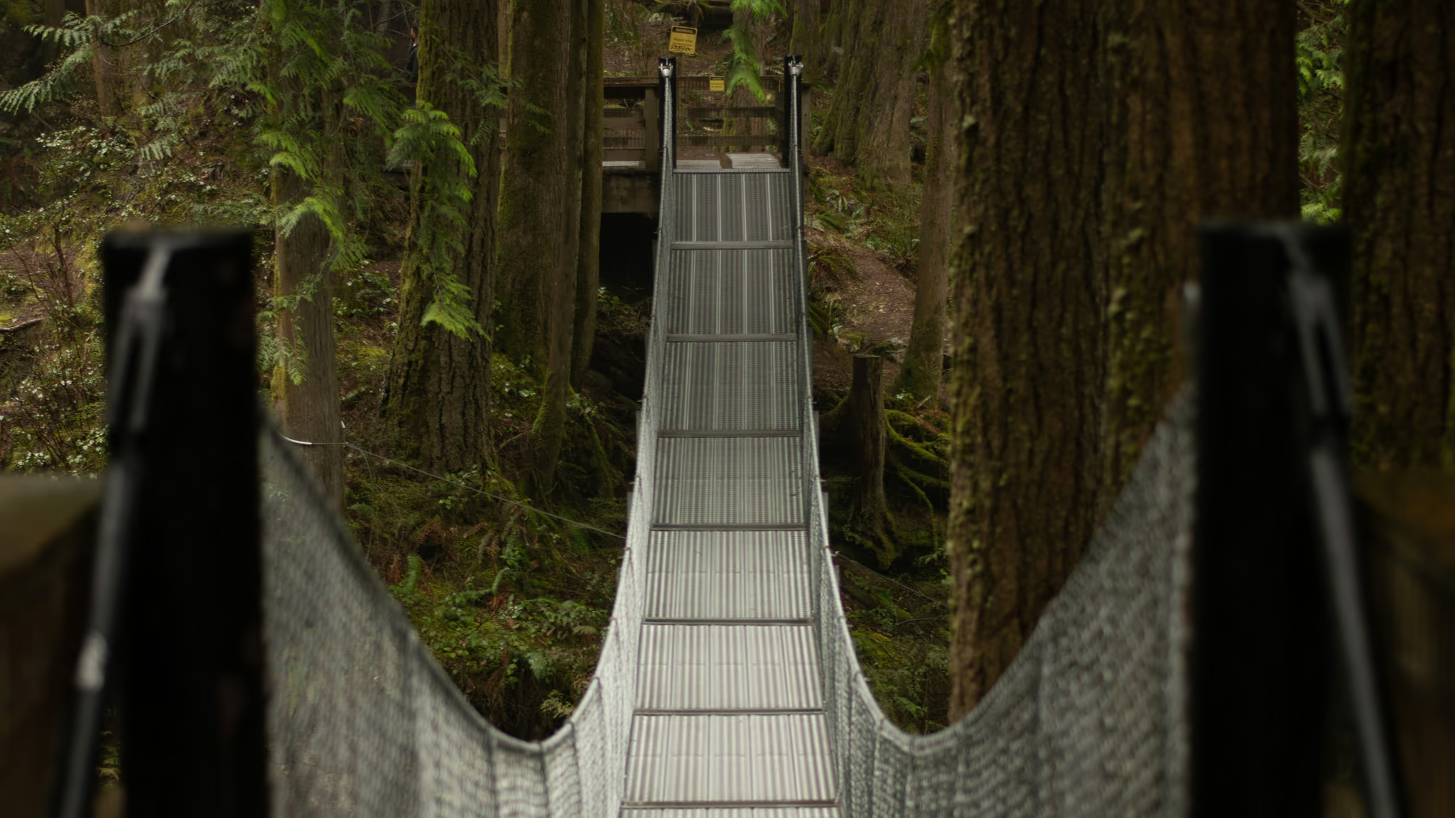
  • Looking down the Cascade Falls suspension bridge as it sags through cedar forest in Cascade Falls Regional Park near Mission

    Fraser Valley

    The valley east of Vancouver, from the Stave and Hayward reservoirs above Mission out to Chilliwack Lake and the Cheam Range - lower, drier and warmer than the North Shore, with the steepest honest fitness climbs anywhere near the city.

    4 trail guides · 2 h from Vancouver
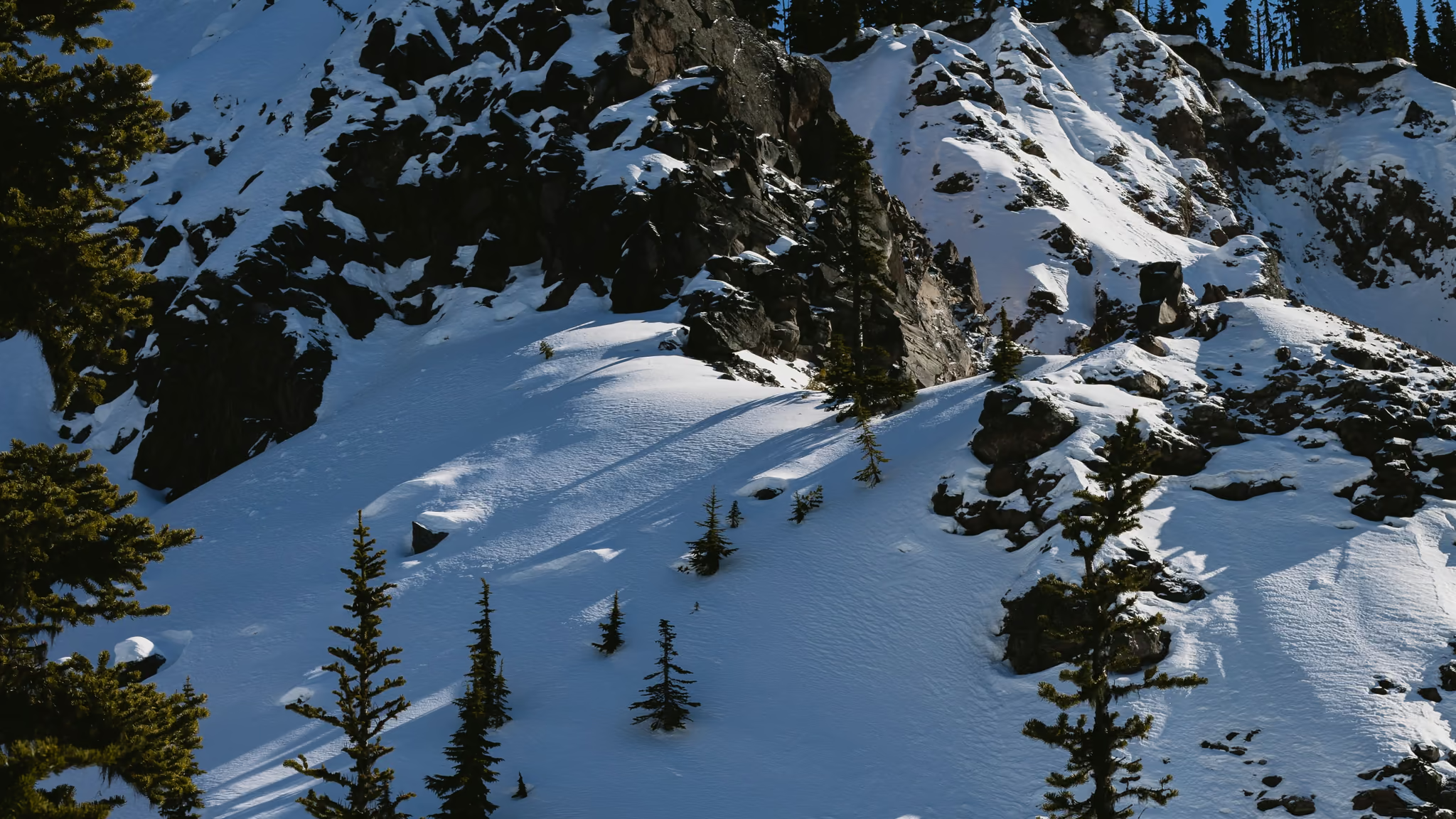
  • Snow-loaded alpine slope and dark volcanic rock under a clear winter sky in Garibaldi Park

    Garibaldi Provincial Park

    195,000 hectares between Squamish and Whistler containing the most recognisable alpine terrain in southwest BC - Garibaldi Lake, Panorama Ridge, Black Tusk, Elfin Lakes and the Diamond Head massif. Reservation-managed in summer, serious backcountry in winter.

    1 trail guide · 1 h 45 min from Vancouver

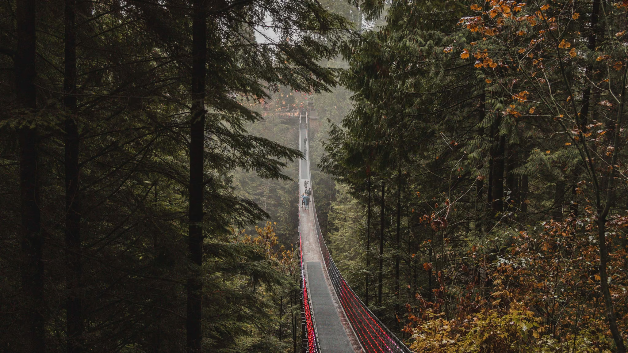
  • Capilano Suspension Bridge stretching through cedar forest, red rails and cables leading into misty trees

    North Shore

    The mountains you can see from downtown Vancouver - Cypress, Grouse, Mount Seymour and the ridges between them. Thirty to fifty minutes from the city, snow-covered five months of the year, and the region where most Vancouver hikers learn what winter actually asks of them.

    5 trail guides · 40 min from Vancouver

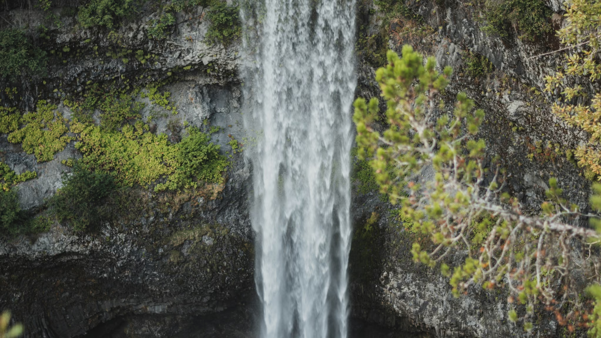
  • Brandywine Falls dropping as a single white column over a dark volcanic cliff, framed by cedar from the viewing platform

    Sea to Sky

    The Highway 99 corridor from Horseshoe Bay to Squamish and beyond - Howe Sound on one side, granite walls on the other, and the transition from North Shore day hikes to genuine Coast Mountain terrain.

    4 trail guides · 1 h from Vancouver

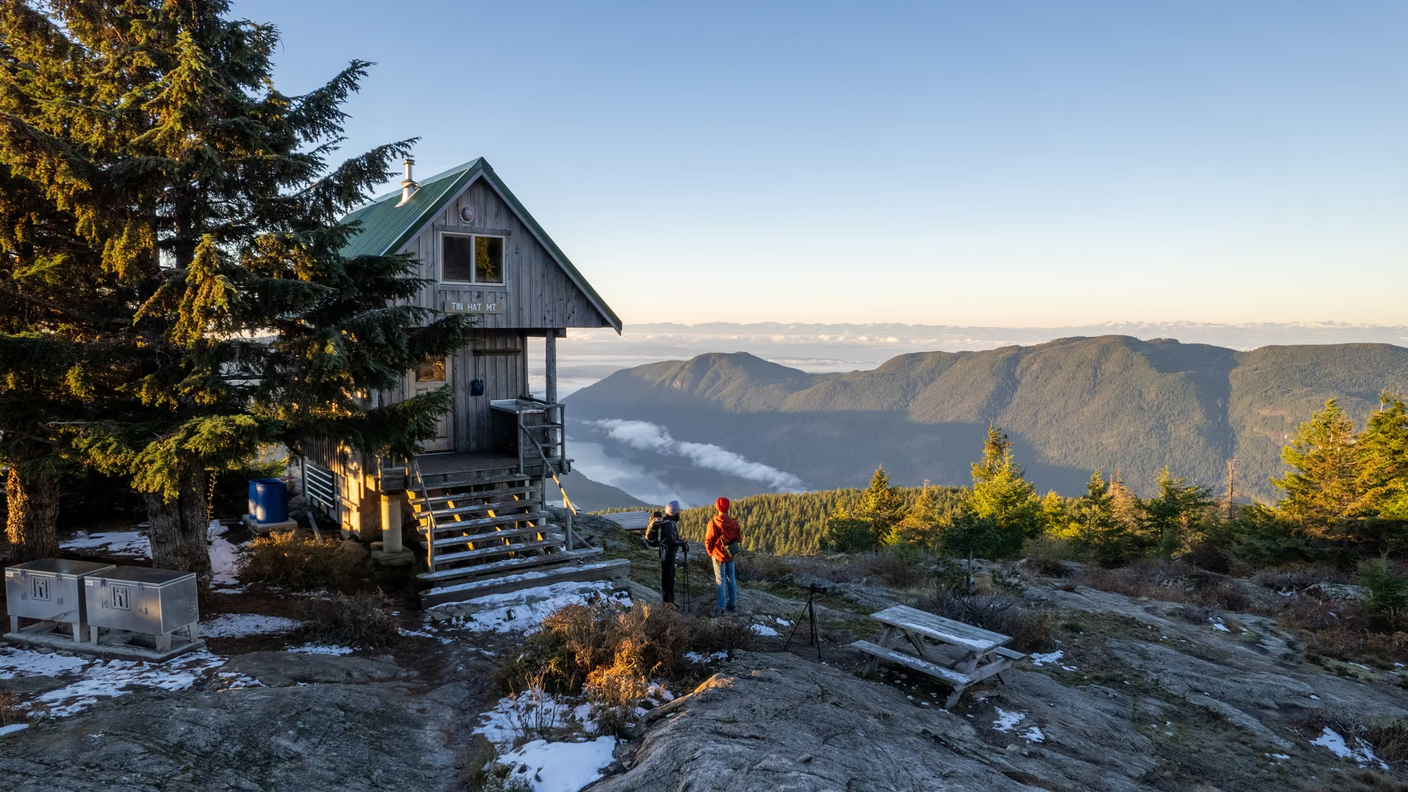
  • The Tin Hat Mountain hut on the rocky summit at sunset, two hikers looking out over a valley inversion and the Coast Mountains

    Sunshine Coast

    Mainland BC that you can only reach by ferry - a strip of coast from Langdale to Lund carrying the Sunshine Coast Trail, Canada's longest hut-to-hut route, where every hut is free and nobody takes a reservation.

    1 trail guide · 4 h 45 min from Vancouver

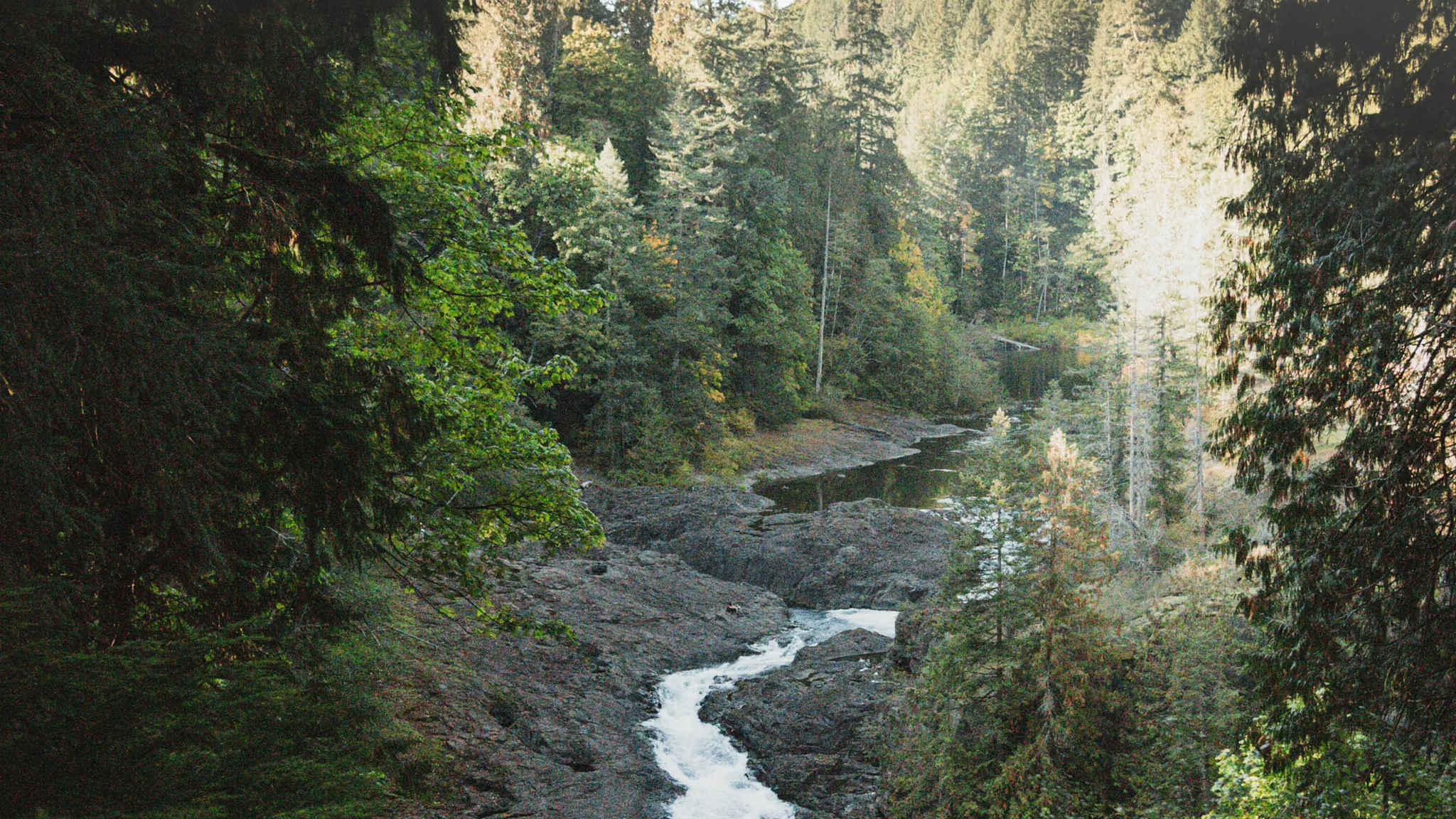
  • Elk Falls dropping through a dark rock canyon with cedar forest on both rims

    Vancouver Island

    Ferry, then more driving - waterfalls at Little Qualicum, Englishman River, Elk Falls and Nymph Falls, the Sooke Potholes on the south Island, Shorepine Bog and Radar Hill on the Pacific Rim, and Cape Scott at the northern tip, where the walking is short and the getting there is the difficulty.

    7 trail guides · 7 h 30 min from Vancouver

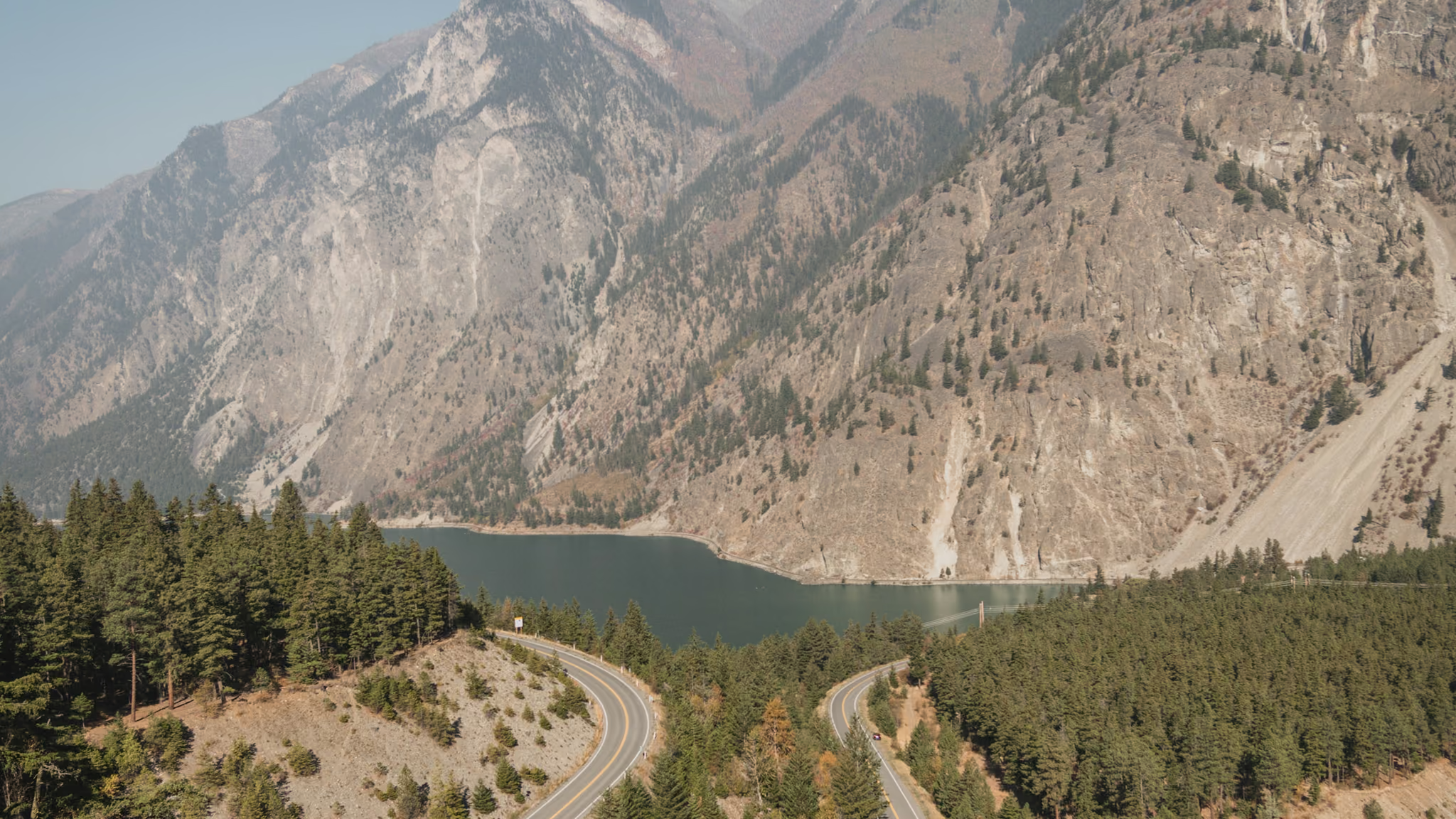
  • Highway 99 hairpin above Seton Lake, looking down through forest to turquoise water and dry mountains

    Whistler & Pemberton

    The top of the Sea to Sky, where Highway 99 leaves the Coast Mountains for the Duffey Lake Road and the terrain turns serious - bigger glaciers, longer approaches, and a winter season that runs from November into late May.

    2 trail guides · 3 h from Vancouver