Vancouver Island
Ferry, then more driving - waterfalls at Little Qualicum, Englishman River, Elk Falls and Nymph Falls, the Sooke Potholes on the south Island, Shorepine Bog and Radar Hill on the Pacific Rim, and Cape Scott at the northern tip, where the walking is short and the getting there is the difficulty.
7 trail guides · 7 h 30 min from Vancouver
Vancouver Island inverts the usual relationship between effort and remoteness. San Josef Bay is a 5 km round trip on a flat, wide, well-built path, and it is one of the most genuinely remote beaches you can reach in British Columbia. The difficulty is 64 km of shot rock between you and the trailhead, and roughly two hours of driving it.
Closer in, Little Qualicum Falls, Englishman River Falls and the Sooke Potholes are the waterfall and river stops you can actually attach to a ferry day. Elk Falls and Nymph Falls sit further north, past Courtenay and Campbell River. Shorepine Bog is the 800 m Pacific Rim boardwalk next to Radar Hill. They are still a sailing plus a drive. They are not Cape Scott.
This is why the drive times on these guides look absurd next to a North Shore trail. They are honest. Everything here is a ferry plus most of a day, and the outer-coast trails are worth planning a trip around rather than squeezing into one.
What the region is good for
Sea stacks and beach walking. San Josef Bay's stacks at the second beach are the reason people make the drive to Cape Scott, and the walk out to them is easy enough for anyone who can manage 5 km on the flat.
Storm season. The west coast in November through March is a legitimate destination rather than an off-season compromise. Radar Hill is the highest ground in the Long Beach Unit and it is a five-minute walk from the car.
Old growth without a scramble. The forest on the approach to San Josef is the point as much as the beach is.
Access notes
Budget for the ferry properly. Reservations on the Horseshoe Bay and Tsawwassen sailings matter in summer, and a missed sailing on a north island trip costs you the day.
The Cape Scott road is the real gate. It is roughly 64 km of active logging road, loaded trucks have right of way, and you want a full-size spare and the tools to fit it. The San Josef trailhead lot is on Western Forest Products land and is provided as a courtesy - BC Parks states plainly that it is not a secured facility.
Pacific Rim National Park Reserve charges a day-use fee, collected at the park gate and enforced at the Long Beach lots including Radar Hill. Cape Scott requires camping permits for overnight stays.
Seasons
| Season | Reality |
|---|---|
| May-Sep | The practical season for Cape Scott, and when BC Parks collects camping fees. July and August are the warmest, busiest and foggiest. |
| Oct-Apr | Radar Hill and the Long Beach Unit stay fully open. This is storm-watching season and the coast is at its most dramatic. |
| Year round | None of these Island walks hold snow in any useful sense. The limits are road conditions, ferry sailings and daylight, not an alpine snowpack. |
Vancouver Island trail guides
Every guide below is a trail I have personally hiked, with the date I was last there on the page.
- Vancouver Island
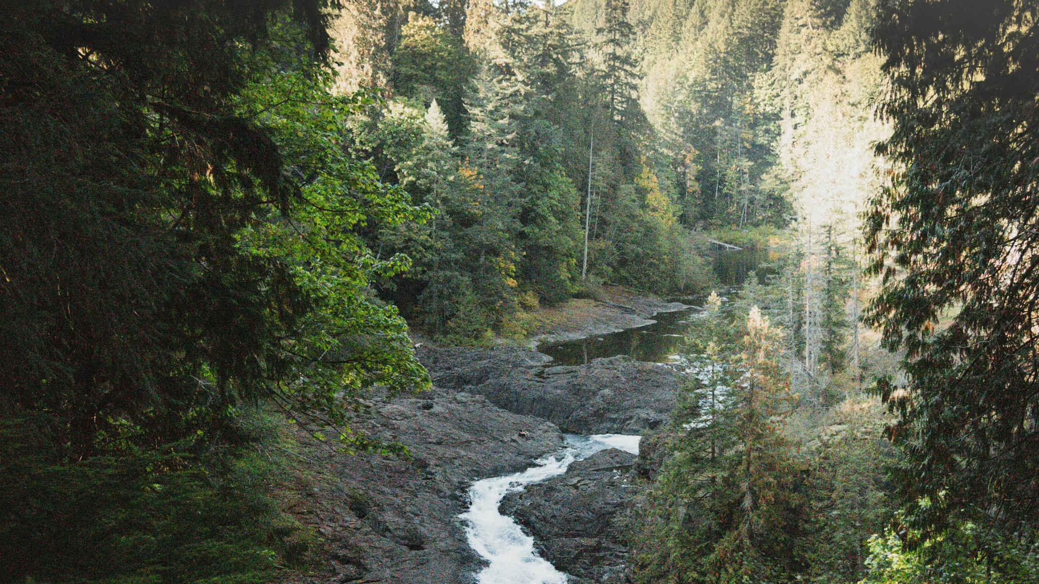
Elk Falls: A 25-Metre Drop, a Free Suspension Bridge, and a Campbell River Stop
The north Island's honest short waterfall stop - a free 60-metre span over a real canyon, a 25-metre drop, and a gravel walk that is over in twenty minutes. Worth the pull-off if you are already in Campbell River. Stay on the designated decks.
- Distance: 1.6 km
- Elevation gain: 40 m
- Difficulty: Easy
 Vancouver Island
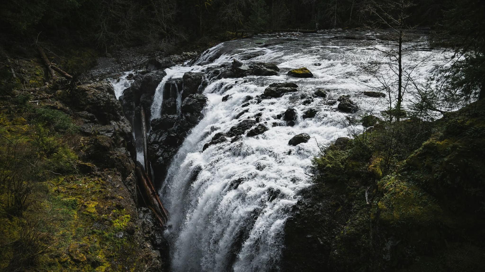
Englishman River Falls: The Other Highway 4 Waterfall, 9 km Off the Alberni Highway
The better canyon of the two Parksville waterfall stops if you will leave Highway 4. The loop is stairs and bridges, not a hike, and the upper drop is the photograph. Pair it with Little Qualicum. Do not drive to the Island for this loop alone.
- Distance: 2 km
- Elevation gain: 80 m
- Difficulty: Easy
 Vancouver Island
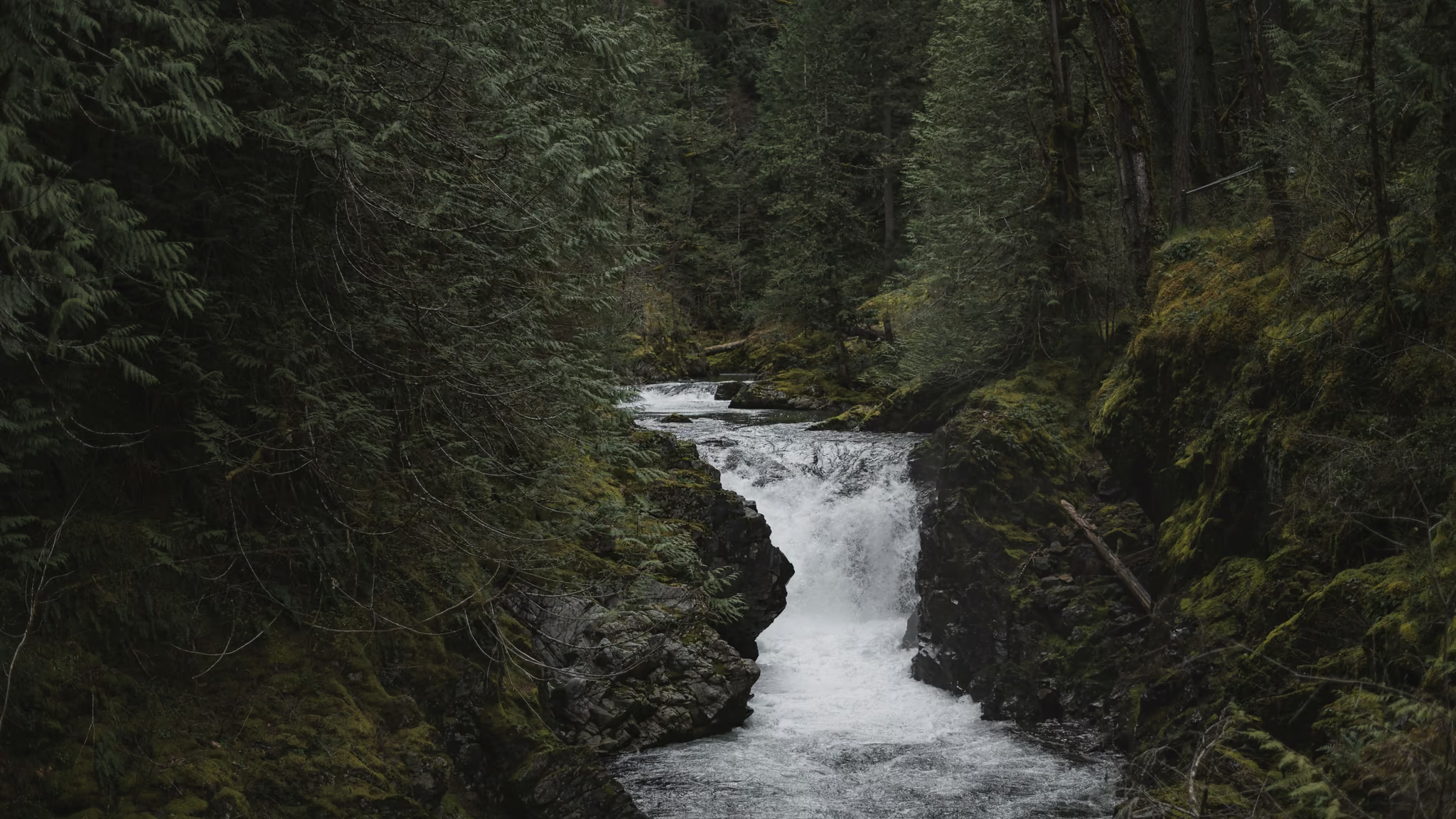
Little Qualicum Falls: The Highway 4 Stop Between Parksville and Cathedral Grove
The best short waterfall walk on the Parksville-to-Port Alberni drive, and not a reason to skip Cathedral Grove - do both. The loop is stairs and viewpoints, not a hike, and the gorge is the photograph.
- Distance: 2 km
- Elevation gain: 80 m
- Difficulty: Easy
 Vancouver Island
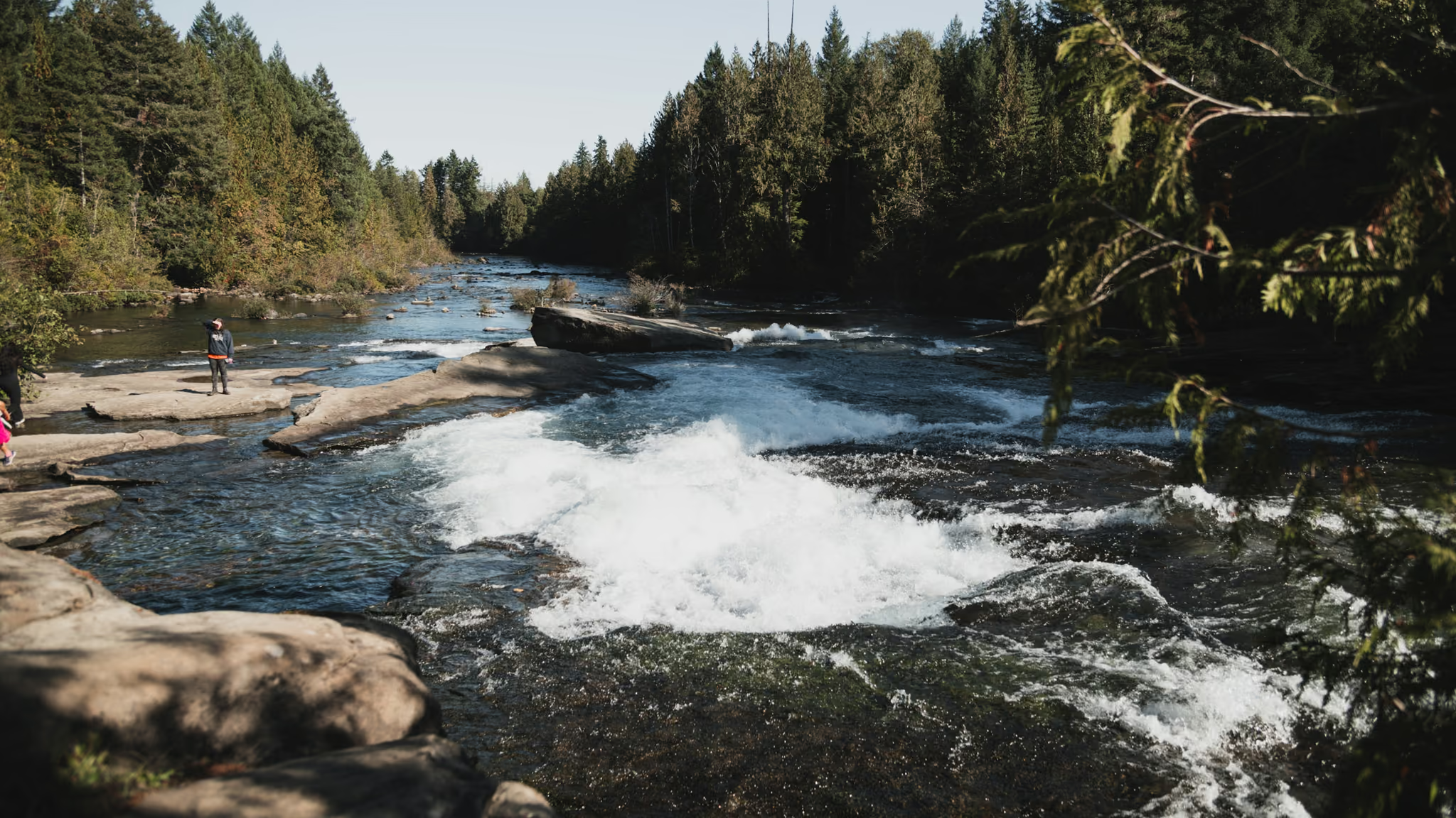
Nymph Falls: 600 Metres to the Puntledge, and a Comox Valley River Walk
The honest short river stop west of Courtenay - a 600 m walk to wide ledges and white water, not a slot canyon, and not Elk Falls. Worth it if you are already in the valley. Stay off the wet rock when the river is up.
- Distance: 1.2 km
- Elevation gain: 20 m
- Difficulty: Easy
 Vancouver IslandPermit required: Permit
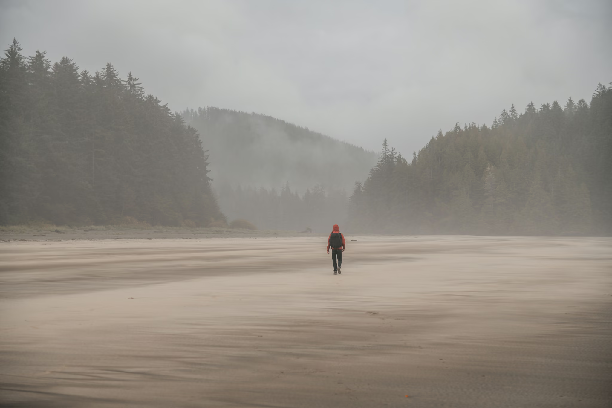
San Josef Bay: A 2.5 km Walk at the End of 64 km of Gravel
The easiest genuinely remote beach in British Columbia, and the difficulty is entirely in the 64 km of shot rock you drive to reach it - budget two hours for that road and carry a real spare.
- Distance: 5 km
- Elevation gain: 10 m
- Difficulty: Easy
 Vancouver IslandFee required: Fee
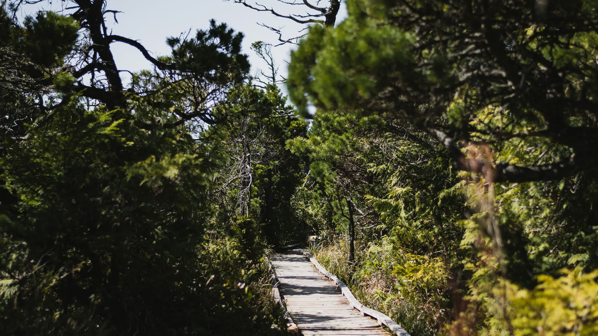
Shorepine Bog Trail: An 800 Metre Boardwalk in Pacific Rim, and No Beach
The honest short Pacific Rim walk that is not Radar Hill and not Long Beach - an 800 m boardwalk through twisted shorepine, sundews if you look, and a sign that says no beach access. Worth the stop if you are already paying the park fee. Stay on the boards.
- Distance: 0.8 km
- Elevation gain: 5 m
- Difficulty: Easy
 Vancouver IslandFee required: Fee
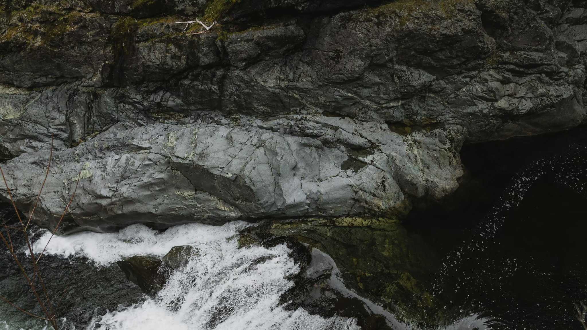
Sooke Potholes: River Gorge, Summer Parking Fees, and a Viewpoint You Should Not Swim
The best short river walk near Sooke, and a swimming day if you pick the beaches - not if you pick the potholes viewpoint. Stay back from that edge. The water there is the subject, not the entry.
- Distance: 4 km
- Elevation gain: 80 m
- Difficulty: Easy